Upload date
All time
Last hour
Today
This week
This month
This year
Type
All
Video
Channel
Playlist
Movie
Duration
Short (< 4 minutes)
Medium (4-20 minutes)
Long (> 20 minutes)
Sort by
Relevance
Rating
View count
Features
HD
Subtitles/CC
Creative Commons
3D
Live
4K
360°
VR180
HDR
27 results
Filter Upper Case Letters and Lower Case Letters Hey guys! Hopefully you found a solution that helped you! The Content is ...
0 views
5 days ago
Getting projection name from CRS object with PyProj I hope you found a solution that worked for you :) The Content is licensed ...
7 days ago
Exporting aliases I/O names from vector layer attributes to GeoPackage using PyQGIS Hey guys! Hopefully you found a solution ...
4 days ago
QGIS - issues with Geometry Generator Hey guys! Hopefully you found a solution that helped you! The Content is licensed under ...
QGIS expression equivalent to SetNull function in ArcGIS I hope you found a solution that worked for you :) The Content is ...
6 days ago
Styling lines layer if it intersects polygon layer in QGIS Hey guys! Hopefully you found a solution that helped you! The Content is ...
Enterprise-ready QGIS collaboration across teams with the NextGIS Platform. NextGIS Web now supports vector layer versioning, ...
46 views
1 day ago
Leaflet draw - input-based circlemarker radius Hey guys! Hopefully you found a solution that helped you! The Content is licensed ...
This video reviews the AI Segmentation by TerraLab plugin. The plugin uses Meta's Segment Anything Model to segment ...
829 views
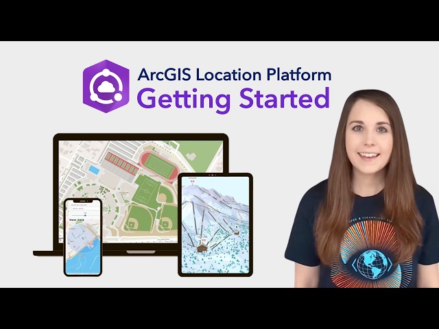
Welcome to ArcGIS Location Platform! We're thrilled to introduce you to a powerful tool that will revolutionize the way you ...
10 hours ago
Using GIS, I integrate transit frequency, 10-minute walksheds, and regional Transit Propensity Index to map equity gaps in Tempe.
5 views
tutor aja.
Speedwalk is a new editor to assess how consistently sidewalks are mapped on roads or as separate ways. This talk will ...
22 views
With Jacob Hall, Mike O'Brien, Minh Nguyễn, and Adam Cox. From georeferencing historical Sanborn fire insurance maps on ...
29 views
And type the name of the place or study area that you are focused to analyze so for this tutorial we are going to work with a flat that ...
This talk introduces TheMap.is, a new open source web app for exploring OpenStreetMap. Instead of one big map, the app ...
20 views
HexMAPP uses OpenStreetMap and other open data to model broadband feasibility across the United States. OSM roads and ...
18 views
XRI Design Speaker Series "Volumetric Video Capture" with Francesca Albrezzi Thursday, January 29, 2026 2:00-3:00pm PT The ...
19 views
Descarga la data aquí https://drive.google.com/drive/folders/1RbFPIDCT7Eqg-z6gQemmQMEibpSRGGSM?usp=sharing Este ...
172 views
Sourdough (https://sourdough.osm.fyi/) is a new vector tile schema for OSM. It includes more data per tile than existing schemas, ...