Upload date
All time
Last hour
Today
This week
This month
This year
Type
All
Video
Channel
Playlist
Movie
Duration
Short (< 4 minutes)
Medium (4-20 minutes)
Long (> 20 minutes)
Sort by
Relevance
Rating
View count
Features
HD
Subtitles/CC
Creative Commons
3D
Live
4K
360°
VR180
HDR
1,930 results
How to select/filter GeoTIFFs by location/coordinates I hope you found a solution that worked for you :) The Content is licensed ...
0 views
10 months ago
Dividing the final map into equal parts I hope you found a solution that worked for you :) The Content is licensed under ...
2 views
11 months ago
Adding a layer to multiple maps within the same project with ArcPy duplicate Hey guys! Hopefully you found a solution that helped ...
8 months ago
Calculating all distances from single points to multiple polygons closed I hope you found a solution that worked for you :) The ...
4 views
Raster calculator gives black map output when excluding values Hey guys! Hopefully you found a solution that helped you!
8 views
3 months ago
QGIS Modeler - cannot use aggregate function in this context? Hey guys! Hopefully you found a solution that helped you!
23 views
5 months ago
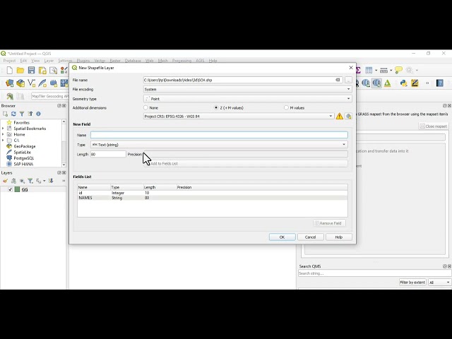
Create a shapefile in QGIS in less than 2 minutes! 🗺️ This quick tutorial shows you how to: ✓ Pick the right geometry type (point, ...
58 views
6 months ago
In this comprehensive GIS tutorial, we'll move beyond basic mapping to answer a critical urban planning question: How ...
2,606 views
7 months ago
Creating event in PyQGIS that notices that group of layers is selected Hey guys! Hopefully you found a solution that helped you!
24 views
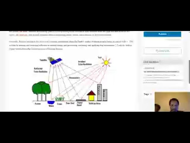
Introduction to Remote Sensing.
Streamed 3 months ago
Reversing color ramp in ArcMap? I hope you found a solution that worked for you :) The Content is licensed under ...
20 views
Calculate a moving average directly on a raster in QGIS I hope you found a solution that worked for you :) The Content is licensed ...
FOSS4G:UK 2025 Leeds https://uk.osgeo.org/foss4guk2025/ Speaker: Steven Rizo I joined CE Geotech shortly after the company ...
32 views
Generating urban blocks by road centerlines using PyQGIS I hope you found a solution that worked for you :) The Content is ...
1 view
Convert string of points into WKT for importing into QGIS I hope you found a solution that worked for you :) The Content is licensed ...
6 views
9 months ago
Match map's borders to graticule in QGIS Layout I hope you found a solution that worked for you :) The Content is licensed under ...
How can I calculate multiple overlap of geometries within a single layer in QGIS 3.40? I hope you found a solution that worked for ...
Managing ArcGIS floating licenses I hope you found a solution that worked for you :) The Content is licensed under ...
How to create a layer with only the isolated pixels using QGIS? Hey guys! Hopefully you found a solution that helped you!
1-on-1 Student GIS Training – Learn How to Create a Map from Scratch! In this hands-on session, I guide a student step-by-step ...
78 views