Upload date
All time
Last hour
Today
This week
This month
This year
Type
All
Video
Channel
Playlist
Movie
Duration
Short (< 4 minutes)
Medium (4-20 minutes)
Long (> 20 minutes)
Sort by
Relevance
Rating
View count
Features
HD
Subtitles/CC
Creative Commons
3D
Live
4K
360°
VR180
HDR
13 results
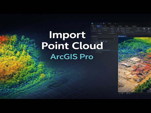
This tutorial demonstrates how to import and manage point cloud data in ArcGIS Pro using LAS and LAZ file formats. The workflow ...
183 views
2 weeks ago
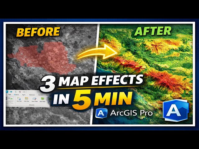
Learn how to create professional-looking maps in ArcGIS Pro in just minutes! In this tutorial, I demonstrate three powerful ...
181 views
3 weeks ago
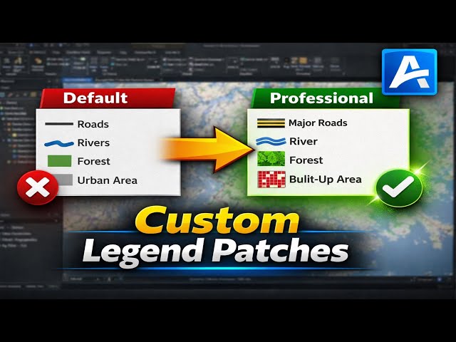
Creating clear and professional legends is essential for high-quality GIS maps, research publications, and thesis presentations.
166 views
1 month ago
Descarga la data aquí https://drive.google.com/drive/folders/1RbFPIDCT7Eqg-z6gQemmQMEibpSRGGSM?usp=sharing Este ...
149 views
8 days ago
327 views
210 views
65 views
2 days ago
Part 2: Drone Imagery Processing Using Agisoft Metashape This part demonstrates the processing of drone-acquired aerial ...
In this video/assignment, I demonstrate how to install a plugin in QGIS using the built-in Plugin Manager. The tutorial covers ...
122 views
This section presents the complete workflow for processing drone-captured aerial imagery using DroneDeploy, a cloud-based ...
143 views
112 views
1 day ago
This series presents a comprehensive comparison of drone imagery processing workflows using three industry-leading ...
115 views
geodesy #surveying #geoinformatics #gis #map #tutorial #spatial_analysis #gistutorial #tiiame #uzbekistan #uzbek #
125 views