Upload date
All time
Last hour
Today
This week
This month
This year
Type
All
Video
Channel
Playlist
Movie
Duration
Short (< 4 minutes)
Medium (4-20 minutes)
Long (> 20 minutes)
Sort by
Relevance
Rating
View count
Features
HD
Subtitles/CC
Creative Commons
3D
Live
4K
360°
VR180
HDR
114,544 results
Main principles of GIS Of you are interested to learn more, here is my Udemy Course: ...
2,474 views
5 years ago
Learn about a variety of Geographic Information systems (GIS) applications! More information here: ...
7,938 views
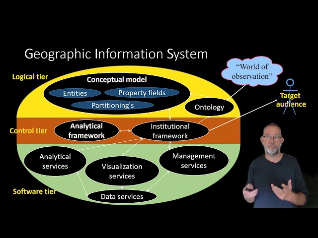
In this video I present a software agnostic view on the basic design, workflow and User Interface of a Geographic Information ...
5,086 views
7 years ago
In this video i present the basic workflow of editing data and creating a map design/layout including exporting it as PDF using ...
67,457 views
GIS: GIS software recommendation Helpful? Please support me on Patreon: https://www.patreon.com/roelvandepaar With thanks ...
3 views
4 years ago
GIS: Which GIS Software is Right for small manufacturing trends analysis? Helpful? Please support me on Patreon: ...
1 view
Video shows how GIS application are added to the EEA Web CMS (Plone).
1,653 views
11 years ago
In this video we use QGIS and Blender GIS to import maps, heightmaps, and OSM data accurately into Blender. QGIS: ...
60,327 views
1 year ago
Finding hidden patterns in complicated decision-making scenarios; analyzing and visualizing large amounts quantitative data; ...
11,234 views
14 years ago
GIS: Which software to use to create professional fly-over/ fly-through animations? Helpful? Please support me on Patreon: ...
5 views
Update December 2025 *** The latest version of the addon is working with Bledner 5.0 again you can download it here: ...
1,984,055 views
6 years ago
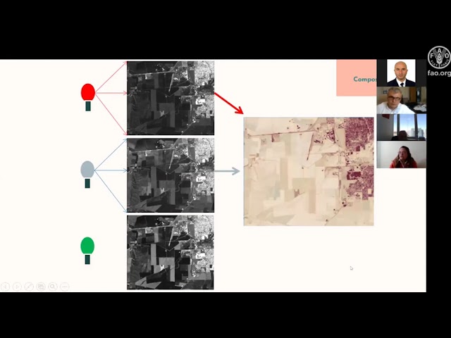
Integrated Land-use Plan (ILUP) for Food Security by Enhancing Climate Resilience and Ecosystem Management-Turkey ...
2,336 views
This video is a very basic look at QGIS for Absolute Beginners. At times it is really fast ( I mean it, it is wicked fast), and you will ...
840,094 views
In Estonia most of the internal security organisations and their applications use our GIS services (IT support is offered by SMIT) ...
79 views
ScreenCast by Jörg Rapp 05/2012 (Environmental Scientist) shows the application of OpenSource Software for Generation of GIS ...
5,794 views
13 years ago
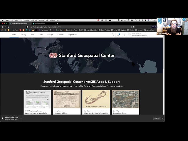
A production of the Stanford Geospatial Center, The Stanford Maps Library and The Branner Earth Sciences Library.
6,580 views
This is an audio version of the Wikipedia Article: https://en.wikipedia.org/wiki/Geographic_information_system 00:02:09 1 History ...
29 views
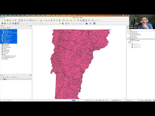
Olivier Leroy leads a discussion of Chapter 10 ("Bridges to GIS software") from Geocomputation with R by Robin Lovelace, Jakub ...
75 views
2 years ago
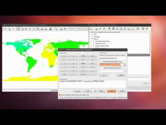
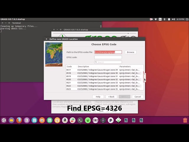
GRASS GIS: https://grass.osgeo.org/ DOCS: https://grass.osgeo.org/grass72/manuals/helptext.html North Carolina: ...
2,275 views
8 years ago
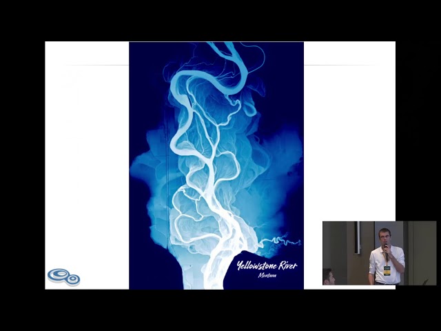
https://media.ccc.de/v/bucharest-376-from-proprietary-gis-to-opensource-overview-of-a-software-stack The GIS market evolves at ...
177 views