Upload date
All time
Last hour
Today
This week
This month
This year
Type
All
Video
Channel
Playlist
Movie
Duration
Short (< 4 minutes)
Medium (4-20 minutes)
Long (> 20 minutes)
Sort by
Relevance
Rating
View count
Features
HD
Subtitles/CC
Creative Commons
3D
Live
4K
360°
VR180
HDR
63,216 results
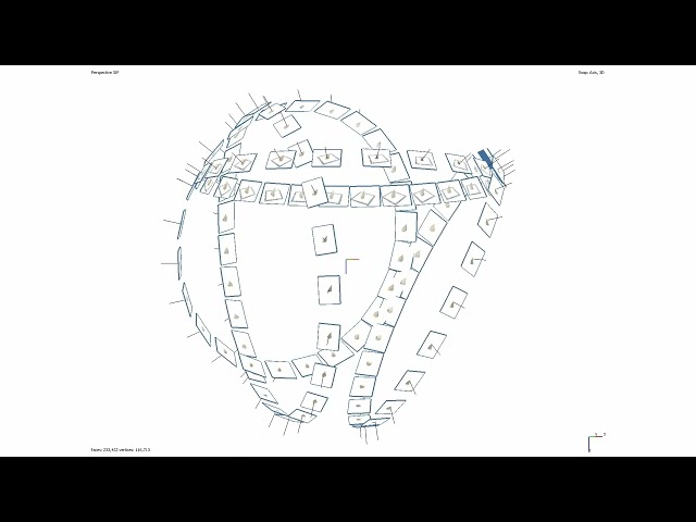
Basic outline of how to acquire data for the purpose of digitising small (geological) samples using Structure from Motion ...
43 views
3 years ago
To navigate adequately in VisionLidar, a mouse with 3 buttons is preferable; left, right buttons and a mouse wheel. To begin, open ...
1,298 views
8 years ago
This tutorial fallows the steps to make a translation and rotation of ground points with some control points. The translation/rotation ...
788 views
11 years ago
Block H of the Geographic Data Science course - "Points" More materials related to the content in this video are available at: ...
414 views
4 years ago
hello there, in this lesson, we will use geopandas and matplotlib to plot a geographic map from a CSV file with longitude and ...
64,775 views
5 years ago
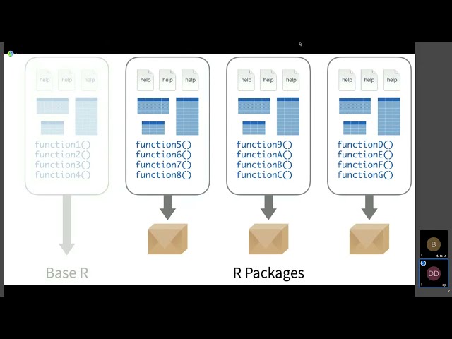
Dewey Dunnington Regardless of which programmiing language is your favourite, the R language for statistical computing is here ...
804 views
Streamed 4 years ago
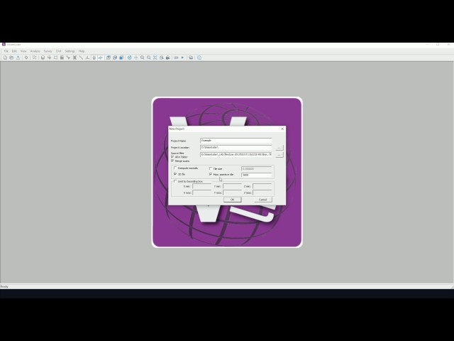
To begin, open up VisionLidar. The start-up screen will appear. To begin working with the software, the user may create a new ...
1,982 views
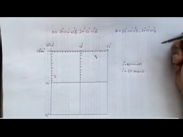
Geography mapwork: How to find a latitude and longitude coordinates Like and share to student geographers. Kindly Subscribe to ...
133,884 views
2 years ago
Scholars GeoPortal is a tool that lets you find, access, and analyze geospatial datasets and maps. This video will show you how to ...
2,850 views
7 years ago
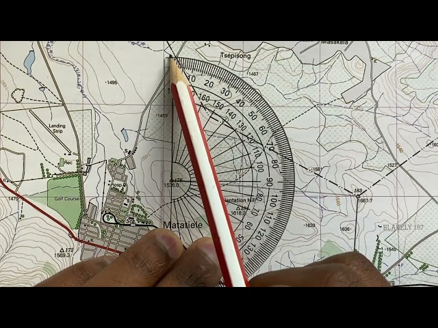
Using a topographic map 1: 50 000 to find a True bearing between two trig beacons and then calculating the magnetic bearing of ...
668,313 views
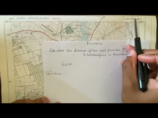
Using a topographic map of Zebediela, Limpopo (1: 50 000) to calculate the distance on a map in Geography mapwork/ map skills ...
221,860 views
In this video we use QGIS and Blender GIS to import maps, heightmaps, and OSM data accurately into Blender. QGIS: ...
64,238 views
1 year ago
46,028 views
This video was created as part of an Erasmus + project. It was originally going to be in-person training but due to COVID-19 the ...
15 views
Unit of Scale।Scale unit।scale।Geo Tutorial Point।Geography practical।Linear।Comparative।Diagonal। #Unit of Scale ...
170 views
Read, create, and modify geospatial shapefiles (vector data) with OSGeo in Python and materials provided at ...
400 views
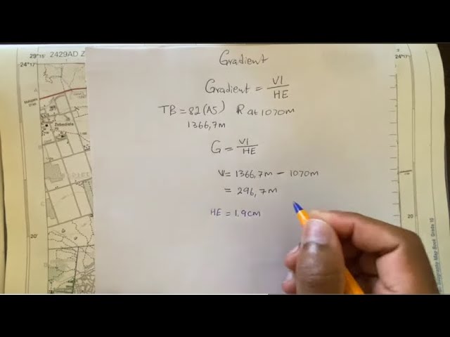
Using a topographic map of Zebedila, Limpopo to calculate Gradient (slope) on a map in Geography mapwork/ map skills.
314,439 views
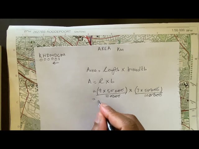
Using a topographic map of Roodepoort, Gauteng to calculate Area on a map in Geography mapwork/ map skills. Like and share ...
149,213 views
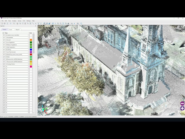
VisionLidaris the most advanced Point Cloud software so far. It has new time-saving functions specially designed to detect ...
2,738 views
The presentation aims to provide attendees with enough information to master GeoServer styling documents and most of ...
365 views