Upload date
All time
Last hour
Today
This week
This month
This year
Type
All
Video
Channel
Playlist
Movie
Duration
Short (< 4 minutes)
Medium (4-20 minutes)
Long (> 20 minutes)
Sort by
Relevance
Rating
View count
Features
HD
Subtitles/CC
Creative Commons
3D
Live
4K
360°
VR180
HDR
973 results
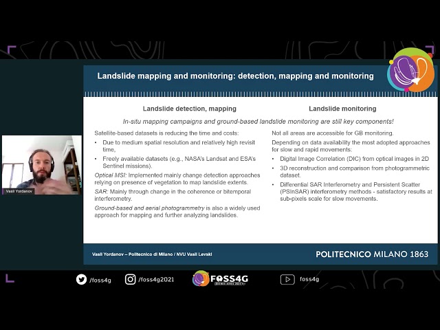
An overview of GeoInformatics: State of The Art Techniques for Landslide Monitoring and Mapping Authors and Affiliations ...
58 views
4 years ago
In this video, I will give you an overview of the process of creating a geospatial database for your project including importing data ...
227 views
3 years ago
https://amzn.to/4aLHbLD You're literally one click away from a better setup — grab it now! As an Amazon Associate I earn ...
141 views
In this video, we delve into the foundational concepts of Geographic Information, uncovering some of its intricacies. Using the ISO ...
425 views
2 years ago
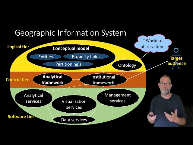
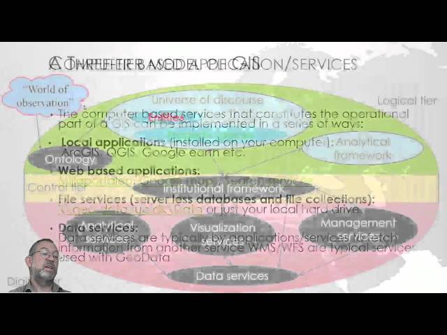
In this video I present a software agnostic view on the basic design, workflow and User Interface of a Geographic Information ...
5,088 views
7 years ago
Prof. Josef Strobl discusses on what is open education all about, relevance of open education in geoinformatics.
256 views
11 years ago
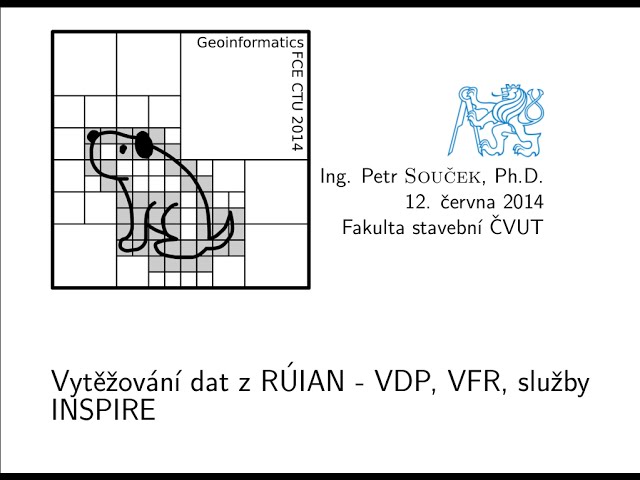
Záznam přednášky Petra Součka 'Vytěžování dat z RÚIAN - VDP, VFR, INSPIRE' z konference Geoinformatics, která proběhla 12.
68 views
Civil Engineering, intersection and resection, explained in simple language.
253 views
9 years ago
Space, Space Science.
9 views
7 months ago
Geographic Information Systems (GIS) Integrated with Virtual Reality: examples from Polar Knowledge Canada's (POLAR) ...
148 views
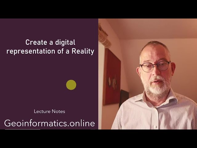
This video presents a overview of the videoes in the series Creating a digital represntation of a reality using GIS.
80 views
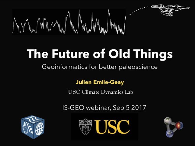
Abstract: By some accounts, paleoscientists spend up to 80% of their time trying to access the data they need, in the form they ...
91 views
8 years ago
Introduction to Geographic Information Systems and Spatially Enabled Applications.
575 views
10 years ago
GIS is fantastic because it can help save the earth by easily showing people the path we are going down. You can model what ...
1,126 views
In this video, I will focus on transforming the world of discourse into a geospatial data schema. This video is complemented by A ...
301 views
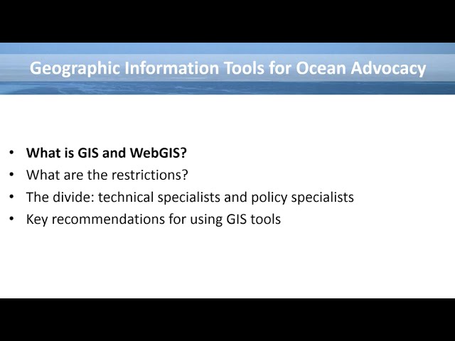
This webinar originally aired on 23 August 2016. Geographic information tools are increasingly important for advocating for and ...
38 views
Remote Sensing basics explained in a simple language.
85 views
27 views
Map projections explained in a simple language.
LiDAR platforms explained in a simple language.
42 views