Upload date
All time
Last hour
Today
This week
This month
This year
Type
All
Video
Channel
Playlist
Movie
Duration
Short (< 4 minutes)
Medium (4-20 minutes)
Long (> 20 minutes)
Sort by
Relevance
Rating
View count
Features
HD
Subtitles/CC
Creative Commons
3D
Live
4K
360°
VR180
HDR
6,279 results
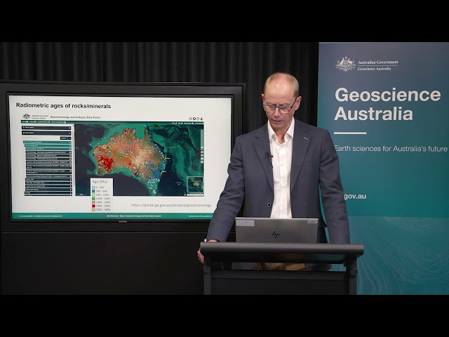
In this Geoscience Australia Snapshot video, Dr Ian Roach from Geoscience Australia gives an overview of the benefits of using ...
780 views
10 years ago
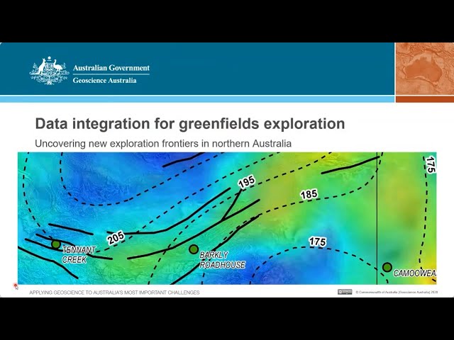
Speaker: Anthony Schofield - 14 October 2020 Finding new mineral deposits has never been an easy job. Increasing demand for ...
1,146 views
5 years ago
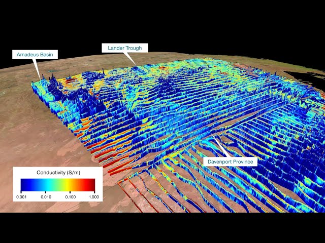
A movie highlighting the world's largest airborne electromagnetic survey in the Northern Territory and Queensland. The new ...
54,273 views
7 years ago
Hanna Virkki, GTK Conference „Geologic and economic potentials of mineral resources on both side of the gulf“ on 21-22 April ...
138 views
3 years ago
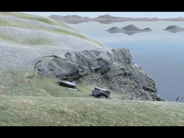
A short film describing the development of a prototype application for the Oculus Rift DK2 headset, to visualise subsurface ...
8,072 views
Dr Marko Komac, OneGeology Presentation: OneGeology as an open geodata model and the advantage of the distributed data ...
88 views
Geoscience Australia held the final Exploring for the Future online public Showcase during 13–16 August 2024, marking the ...
632 views
1 year ago
Spectral Analysis for Geological Applications 100% Free Basic introductory course on Seismic Method: Seismic Survey ...
3,503 views
4 years ago
Presented by Hao Zhong, Rensselaer Polytechnic Institute, USA This webinar kicked off DCO's four-part webinar series on data ...
2,566 views
The magnetotellurics (MT) method maps the electrical conductivity/resistivity structure of the subsurface, which provides crucial ...
446 views
Geotechnical practitioners routinely use publicly available geoscientific information to provide context to site specific ...
92 views
In this webinar, Jacqui Houghton and Rick Allmendinger share strategies for creating remote field experiences using virtual ...
140 views
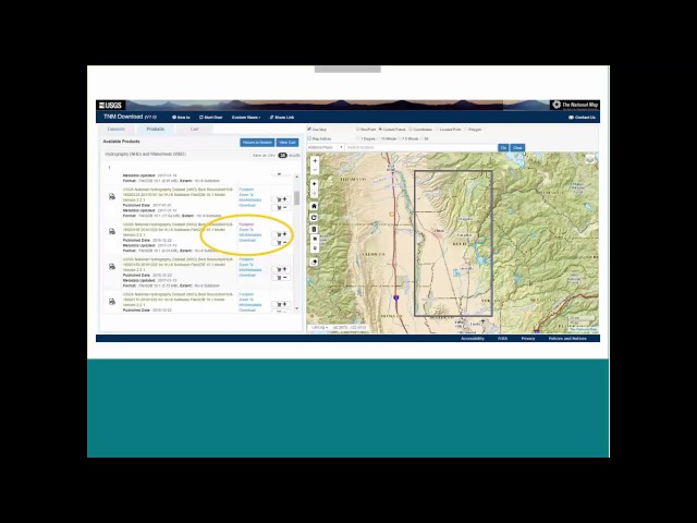
What are the tricks you can use to search for and find US geological materials? Be a geo-detective with USGS documents, maps ...
1,431 views
9 years ago
EarthSci is a powerful tool for the integration and visualisation of three dimensional earth science datasets. This 'virtual ...
2,879 views
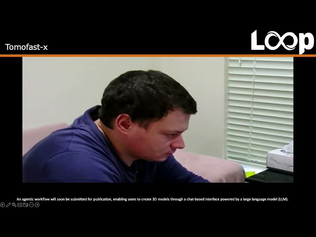
This work contributes to the broader geoscience community by offering a replicable and extensible framework for geological data ...
17 views
2 months ago
EarthSci is a digital globe, built for visualising 3D geoscience data, both on and under the surface of the Earth. It allows users to ...
568 views
TRANSFORM 2020 - Virtual Conference Instructor: Miguel de la Varga To access the repos link: https://swu.ng/t20-tue-gempy ...
21,622 views
Streamed 5 years ago
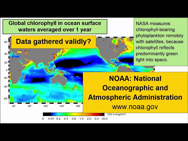
For an introductory college-level earth sciences class: a review of how to read and critically evaluate data visualizations such as ...
9,014 views
8 years ago
Since 2016, the $225m Exploring for the Future program has been gathering, analysing and providing precompetitive geoscience ...
520 views
2 years ago
https://issues.cosmos.esa.int/psawiki/x/bAEz.
98 views