Upload date
All time
Last hour
Today
This week
This month
This year
Type
All
Video
Channel
Playlist
Movie
Duration
Short (< 4 minutes)
Medium (4-20 minutes)
Long (> 20 minutes)
Sort by
Relevance
Rating
View count
Features
HD
Subtitles/CC
Creative Commons
3D
Live
4K
360°
VR180
HDR
139,467 results
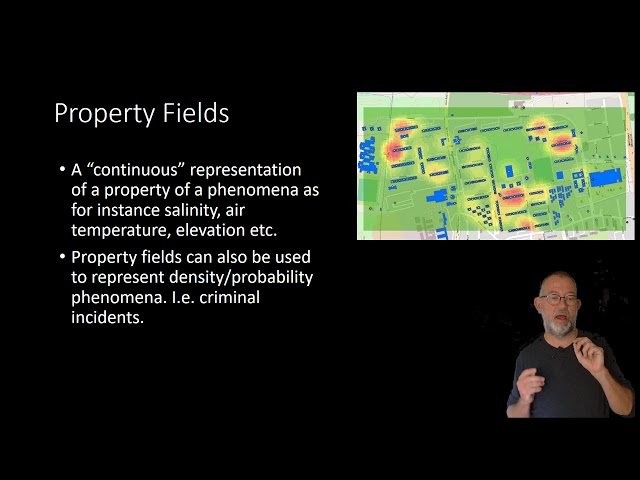
From “Reality” to a World of Discourse.
667 views
7 years ago
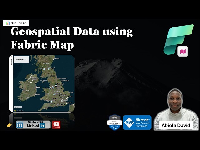
One of the exciting additions to Microsoft Fabric is the Map Item which enables teams to visualize and analyze geospatial data ...
98 views
2 days ago
Get to know geospatial data types (basics) in the form of vector and raster data based on explanations from ...
350 views
3 years ago
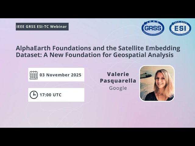
AlphaEarth Foundations and the Satellite Embedding Dataset: A New Foundation for Geospatial Analysis by Valerie Pasquarella ...
1,474 views
4 months ago
In this comprehensive GIS tutorial, we'll move beyond basic mapping to answer a critical urban planning question: How ...
2,679 views
8 months ago
telluric: interactive manipulation of Geospatial data with Jupyter and Python telluric library is an open source library developed by ...
272 views
An Introduction to Geospatial Science and Technology. Complete lecture. Includes an overview of the science as well as a ...
28,358 views
11 years ago
Lecture: Geospatial modeling and GIS-based modeling of landscape processes Lecturer: Helena Mitasova Course: NCSU ...
2,259 views
9 years ago
Learn about Geospatial Analysis with the National Student Data Corps! What is geospatial data and why is it so important?
988 views
2 years ago
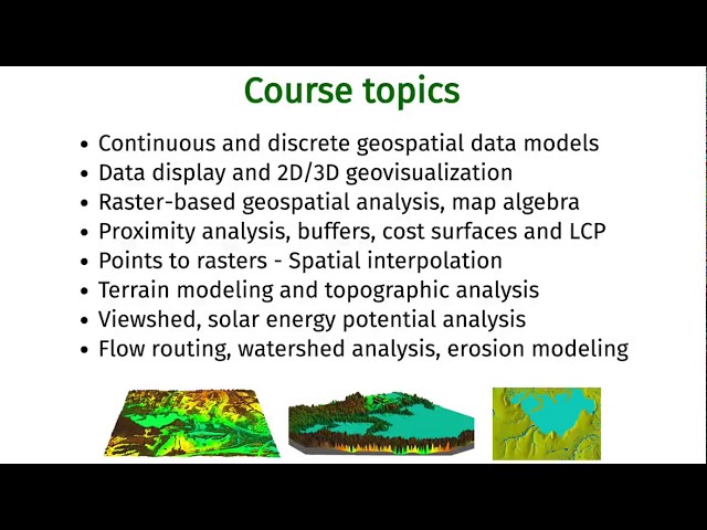
Introduction to and basic information about the Geospatial Modeling and Analysis course (GIS582/MEA582) at North Carolina ...
2,358 views
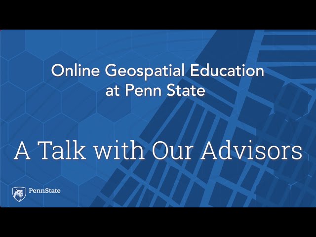
Karen Schuckman: All the advisors also teach courses in the Online Geospatial Program. Many of us have industry backgrounds, ...
201 views
4 years ago
Geospatial Education at Penn State. For more information go to www.pennstategis.com or https://gis.e-education.psu.edu/
219 views
Geospatial Education at Penn State. For more information go to www.pennstategis.com or https://gis.e-education.psu.edu/ SHOW ...
400 views
Update December 2025 *** The latest version of the addon is working with Bledner 5.0 again you can download it here: ...
1,986,903 views
6 years ago
In this video, we will walk you through the topic of Geospatial Metadata, including how to report about geospatial information using ...
646 views
1 year ago
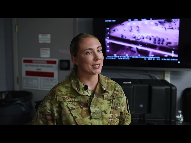
For more info on all Air Force Jobs visit - https://www.airmanvision.com/air-force-blog Geospatial Intelligence Analysts play an ...
2,665 views
10 months ago
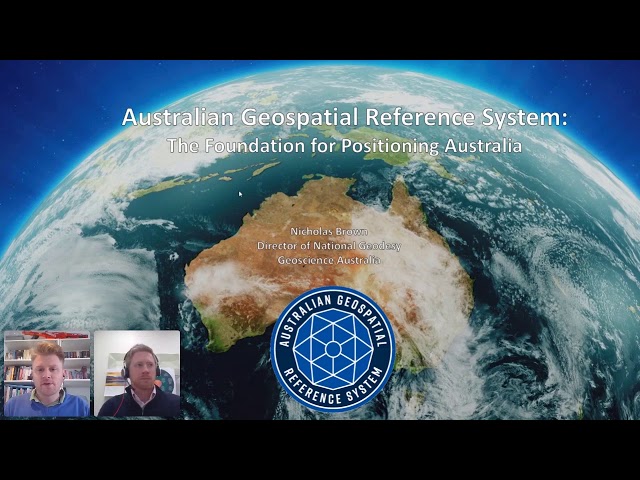
Presented by Nicholas Brown Seminar description The Positioning Australia program is a $225 million commitment from the ...
1,804 views
5 years ago
In this video we use QGIS and Blender GIS to import maps, heightmaps, and OSM data accurately into Blender. QGIS: ...
61,690 views
Craig's talk was the first talk in the "Cloud / Development" session at FOSS4G SotM Oceania 2019, organised by OSGeo Oceania ...
135 views
Experts from across the organisation will share quick, impactful presentations on the latest geospatial projects, including the ...
497 views