Upload date
All time
Last hour
Today
This week
This month
This year
Type
All
Video
Channel
Playlist
Movie
Duration
Short (< 4 minutes)
Medium (4-20 minutes)
Long (> 20 minutes)
Sort by
Relevance
Rating
View count
Features
HD
Subtitles/CC
Creative Commons
3D
Live
4K
360°
VR180
HDR
78,300 results
This NEON Science video overviews what lidar or light detection and ranging is, how it works and what types of information it can ...
1,000,851 views
11 years ago
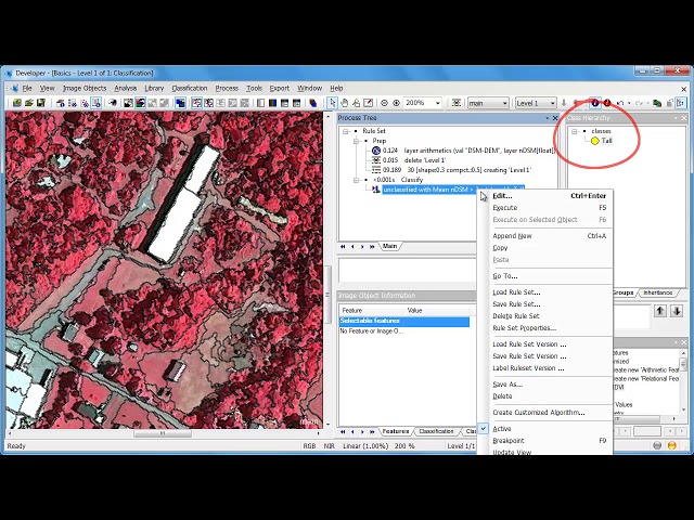
PRESENTER: This video will show you how to take our LiDAR point clouds and turn them into raster surface models using ArcGIS ...
1,598 views
7 years ago
This 3D Lidar improves on my previous Lidar project with a better mechanical design to achieve much faster scanning rate and ...
92,154 views
5 years ago
VisionLidar is the most advanced lidar software so far. Our Lidar software makes it easy to extract the information out of your Point ...
25,458 views
8 years ago
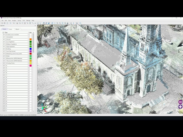
A brief run-through of the use of CloudCompare to make measurements in a Lidar point cloud and exporting subclasses of raster ...
1,283 views
In this Spark AR tutorial Luke Chaffey is going to show us how to utilise Lidar scanning technology to obtain a 3D model of an ...
1,858 views
4 years ago
1,315 views
9 years ago
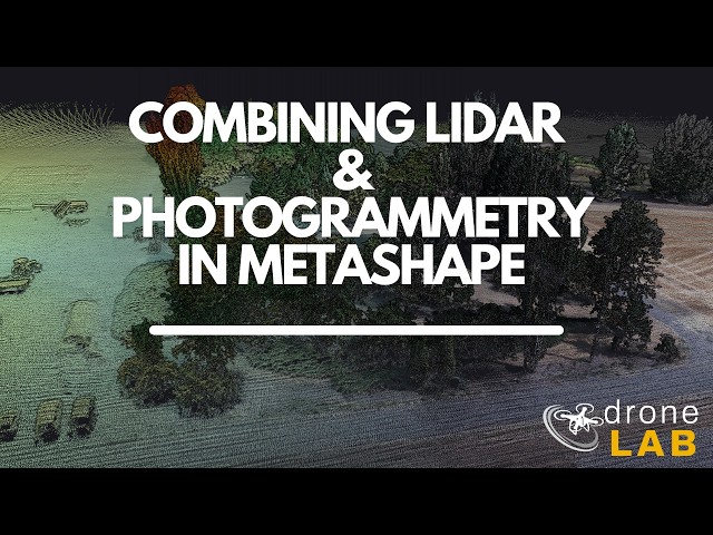
... written instructions for drone photogrammetry and lidar tutorials are available at the Drone Lab website https://uidronelab.org.
9,426 views
1 year ago
A brief introduction to Lidar data as used for the Danish Elevation Model using CoundCompar.
210 views
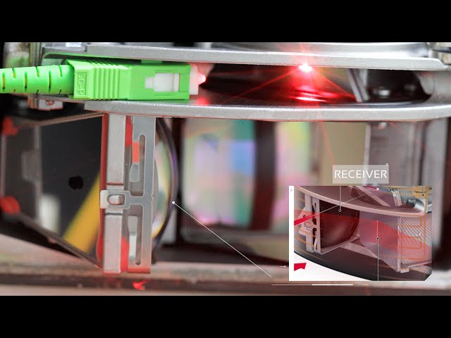
This is a quick inside look at the LIDAR sensor off an Audi with the heater grid/filter removed and a supplemental laser added for ...
635 views
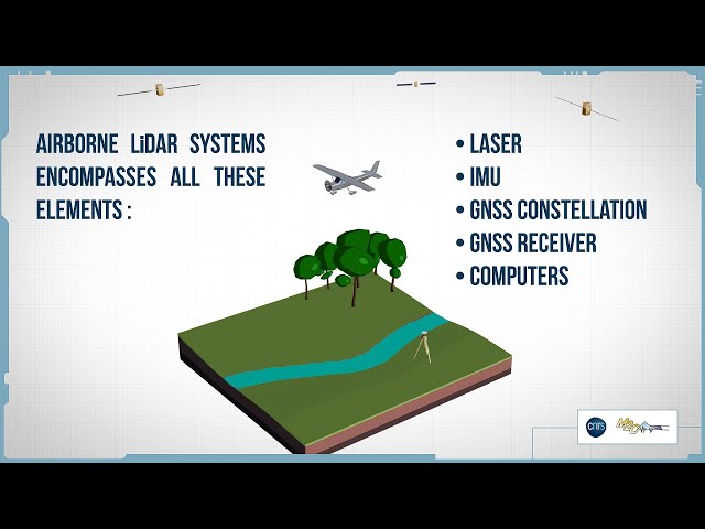
How does airborne LiDAR work ? This video describes the main components of an airborne LiDAR system as well as the basic ...
3,908 views
ICTP College on Optics: Theory and Applications of Lidar | (smr 3706) Speaker: Joseph SHAW (Montana State University, USA) ...
330 views
3 years ago
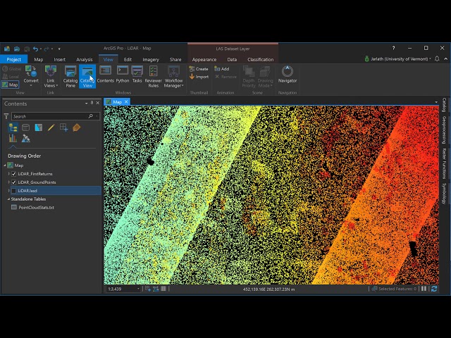
Created by Dr. Jarlath O'Neil-Dunne for GEOG 883 at Penn State Univeristy.
696 views
6 years ago
To navigate adequately in VisionLidar, a mouse with 3 buttons is preferable; left, right buttons and a mouse wheel. To begin, open ...
1,296 views
This video was created by Jarlath O'Neil-Dunne for the University of Vermont and repurposed for Penn States GEOG 883.
254 views
NEON staff scientist Keith Krause introduces the theory and use of full waveform LiDAR. Waveform LiDAR is one of many data ...
22,433 views
Presented to the GRID pointcloud workshop 25th August 2021. GRID.unsw.edu.au.
225 views
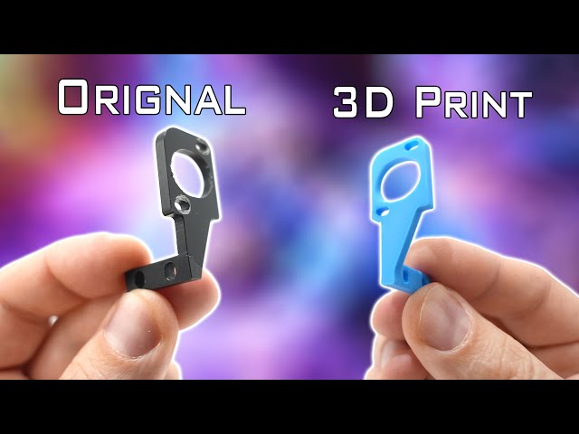
Get $5 of NEW USER FREE CREDIT using PCBWay. Full feature custom PCB prototype services, PCB assembly, SMD stencils ...
553,775 views
11 months ago
Geospatial Education at Penn State. For more information go to www.pennstategis.com or https://gis.e-education.psu.edu/
841 views
1,126 views