Upload date
All time
Last hour
Today
This week
This month
This year
Type
All
Video
Channel
Playlist
Movie
Duration
Short (< 4 minutes)
Medium (4-20 minutes)
Long (> 20 minutes)
Sort by
Relevance
Rating
View count
Features
HD
Subtitles/CC
Creative Commons
3D
Live
4K
360°
VR180
HDR
44,028 results
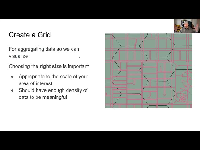
Have you ever wanted to make your own charts and graphs visualizing OSM data contributions? It does not have to be super hard ...
686 views
2 years ago
The tool: https://french-tolls.undiscoveredlatitudes.com/ Telegram bot: https://t.me/french_toll_roads_bot Ever wondered how ...
112,341 views
2 months ago
830 views
7 years ago
The presentation describes stages of developing and starting of new feature of OsmAnd app. OsmAnd is the first among the large ...
4,007 views
6 years ago
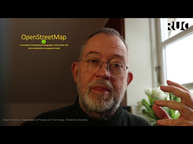
An explanation of OpenStreetMap, the free, editable and open map of the world, which is used by humanitarian groups, ...
25,599 views
10 years ago
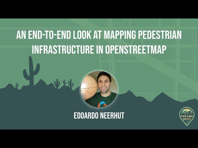
https://media.ccc.de/v/sotm2021-10029-openstreetmap-and-the-neglected-pedestrian Pedestrians have been neglected. We've ...
553 views
4 years ago
A Mapping USA (Spring 2021) presentation by Steven Johnson. More information about Mapping USA: ...
1,580 views
https://media.ccc.de/v/why2025-198-openstreetmap-for-beginners Are you interested in maps? Are you searching for a FLOSS ...
636 views
6 months ago
https://media.ccc.de/v/sotm2022-18515-every-door-and-the-future-of-poi-in-openstreetmap OpenStreetMap is a collector's dream.
634 views
3 years ago
This tutorial explains how to upload a GPS trace to OpenStreetMap (OSM), then apply it to add new hiking paths within the ...
219 views
1 year ago
Earlier this year, Andy embarked on a rewrite of the OpenStreetMap standard Mapnik stylesheets, porting them to the CartoCSS ...
599 views
9 years ago
This study examines OpenStreetMap data quality at different stages of a participatory mapping process developed for ...
297 views
Did you know you can paddle from New York to Maine entirely on inland waterways? There are thousands of miles of canoeable ...
261 views
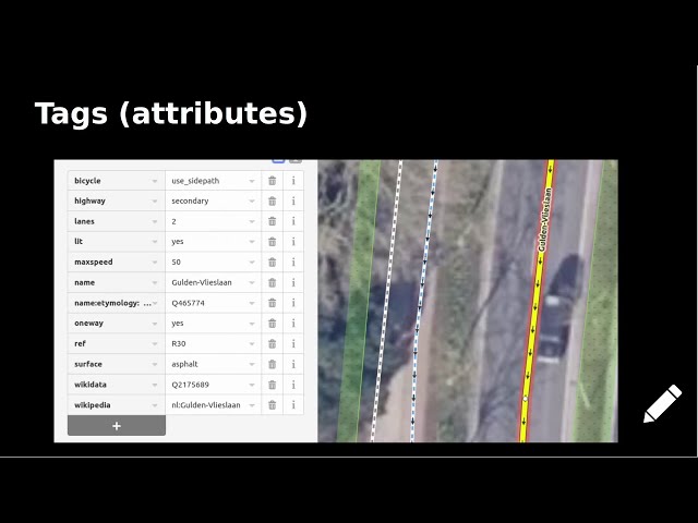
0:00 Introduction 2:04 The OSM data model at first glance 2:42 A more detailed view of the data model 07:09 looking at a example ...
2,331 views
5 years ago
https://media.ccc.de/v/state-of-the-map-2020-academic-track-4858-curious-cases-of-corporations-in-openstreetmap Today, nearly ...
1,655 views
The number of businesses relying on OpenStreetMap data continues to grow, and it's becoming more and more feasible to ...
96 views
https://media.ccc.de/v/sotm2020-4101-an-incomplete-history-of-companies-and-professionals-in-openstreetmap This talk with ...
169 views
938 views
8 years ago
I've been thinking a lot about pedestrian infrastructure around the world and how it differs between cities and countries. In some ...
404 views
It sums up again one of the key struggles between a charismatic business in the OpenStreetMap community and one thing about ...
537 views