Upload date
All time
Last hour
Today
This week
This month
This year
Type
All
Video
Channel
Playlist
Movie
Duration
Short (< 4 minutes)
Medium (4-20 minutes)
Long (> 20 minutes)
Sort by
Relevance
Rating
View count
Features
HD
Subtitles/CC
Creative Commons
3D
Live
4K
360°
VR180
HDR
1,365 results
A short documentary using the technic of laser scanning recording Shenzhen Museum of Contemporary Art and Urban Planning.
55 views
3 years ago
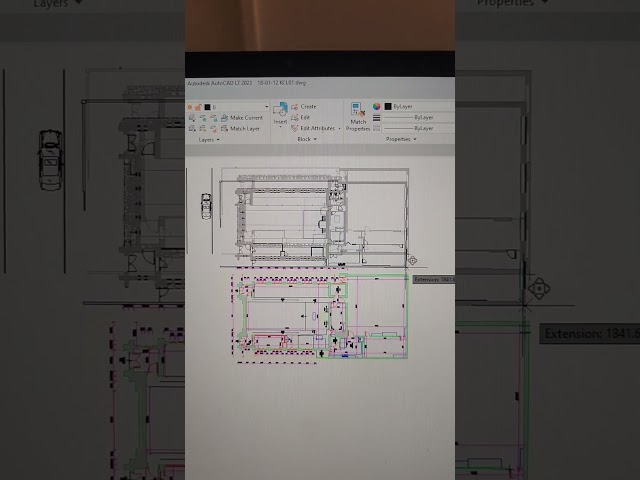
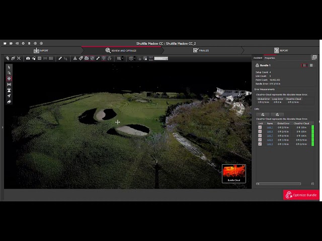
Create a project point cloud.
3,657 views
8 years ago
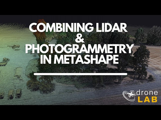
In this lab, we will explore how to bring lidar data into Metashape, align the lidar point cloud with a set of photos, use the lidar as ...
9,465 views
1 year ago
Join this channel to get access to perks: https://www.youtube.com/channel/UCFiHE4lflUQzjwqpJQdiQUw/join My Social Media ...
2,903 views
This 3D Lidar improves on my previous Lidar project with a better mechanical design to achieve much faster scanning rate and ...
92,466 views
5 years ago
How to align, flat, level a model by three points and orient it to ortographic planes with CloudCompare Forum post: ...
1,248 views
2 years ago
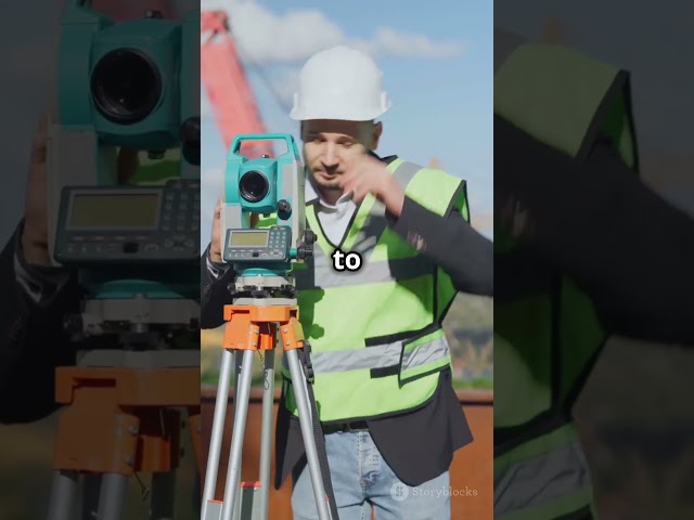
youtube #shorts #video #trending #viral Civil Engineering modern surveying.
131 views
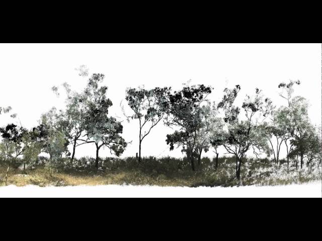
Fly-through visualisation of the Litchfield savanna research Supersite in northern Australia. Point-cloud constructed from 20 scans ...
957 views
7 years ago
Using Navisworks and Point Cloud to run clashes.
4,377 views
6 years ago
... video shows that ability to see the topography from many angles and vantage points simply by scrolling through the Point cloud.
164 views
Experience the Precision of VisionLidar! Witness the seamless journey from raw data to automated classification, cluster detection ...
8,340 views
Get your Share C1 Lidar Here: https://bit.ly/4uvA2Hl Price: US$3999.00 Today we're testing the Share C1 LiDAR Scanner — a ...
834 views
17 hours ago
100 views
9 years ago
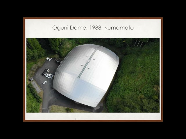
3D Scanning Shoei Yoh's 'living' buildings A/Prof, Tomo Inoue, Kyushu University Associate Professor Tomo INOUE, Dr. Eng. (U ...
76 views
4 years ago
Clean unwanted points in scans using clipping boxes and polygon tools.
11,170 views
When approaching a super yacht fit out, 3D scanning is the first step for our Computer Aided Design and Manufacturing team, ...
81 views
Mobile laser scanning puts high requirements on the accuracy of the positioning systems and the calibration of the measurement ...
747 views
12 years ago
This video shows how to perform the building inventory process using photogrammetry, from taking the photographs and videos to ...
14 views
Quick try of the 3D scan software for iPhone Polycam. I use my parent's new house construction's site. Import of the point clouds in ...
67 views
A terrestrial laser scanning data visualised using SPD Points Viewer (http://spdpointsviewer.sourceforge.net). This data was ...
4,855 views
14 years ago