Upload date
All time
Last hour
Today
This week
This month
This year
Type
All
Video
Channel
Playlist
Movie
Duration
Short (< 4 minutes)
Medium (4-20 minutes)
Long (> 20 minutes)
Sort by
Relevance
Rating
View count
Features
HD
Subtitles/CC
Creative Commons
3D
Live
4K
360°
VR180
HDR
54,033 results
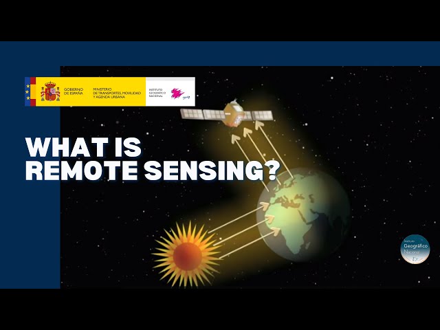
CIRES Fellow and NASA Chief Scientist Waleed Abdalati and CIRES Fellow Steve Nerem explain Remote Sensing and how it is ...
271,080 views
14 years ago
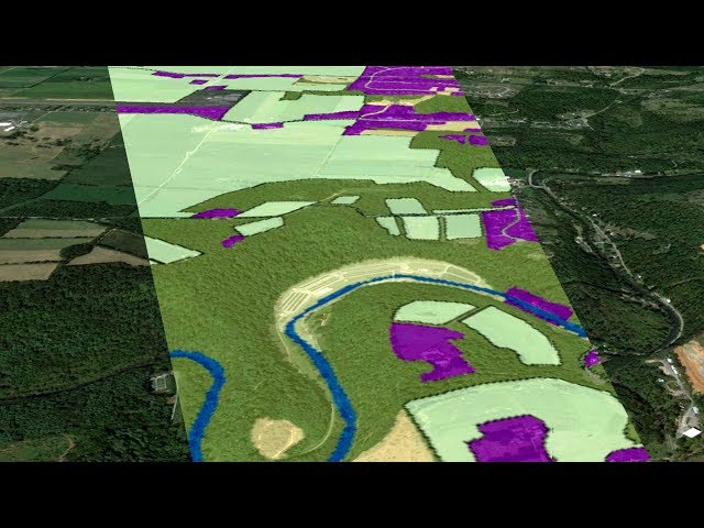
Discover the technology that enables to explore the terrain without being in contact with it. A tour around the current technologies ...
20,848 views
5 years ago
This NEON Science video overviews what lidar or light detection and ranging is, how it works and what types of information it can ...
1,000,678 views
11 years ago
Did you ever wonder how your camera actually takes a picture? It's all about light - it records the light that objects reflect.
179,944 views
10 years ago
Remote sensing collects data about the Earth remote sensing through satellites allows for a large-scale synoptic view of the earth ...
4,830 views
3 years ago
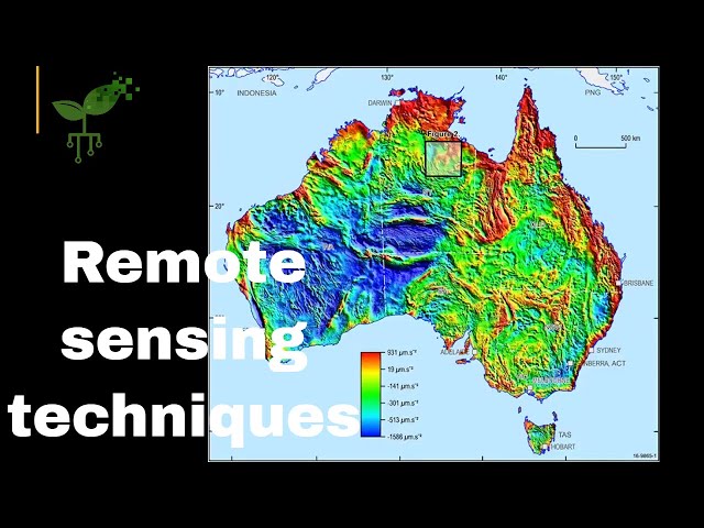
Professor John Mavrogenes (Mav) from the Australian National University (anu.edu.au) explores remote sensing techniques for ...
4,482 views
4 years ago
Overview of relevant satellites and sensors, and data and tools for aquatic environmental management. This training was created ...
22,513 views
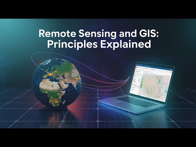
"Remote Sensing & GIS Made Simple | Must-Know Concepts in 10 Minutes!" "What is Remote Sensing & GIS? | Explained for ...
864 views
9 months ago
Conservation and biodiversity management play important roles in maintaining healthy ecosystems. Earth observations can help ...
6,295 views
7 years ago
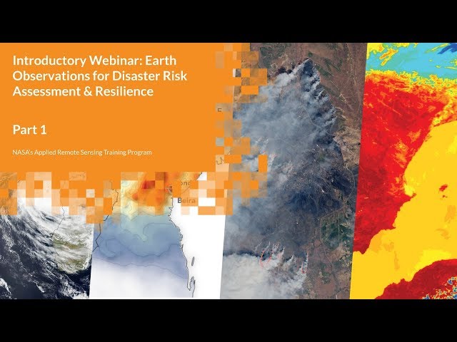
Introductory Webinar: Earth Observations for Disaster Risk Assessment & Resilience In this part, attendees will learn basic ...
3,076 views
6 years ago
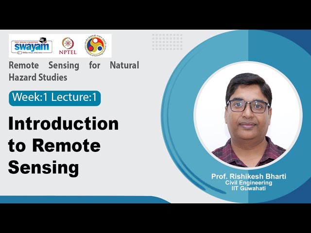
Remote Sensing for Natural Hazard Studies Course URL: https://onlinecourses.nptel.ac.in/noc25_ce125/preview Prof. Rishikesh ...
1,568 views
8 months ago
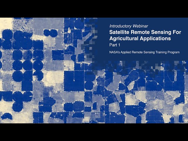
Introductory Webinar: Satellite Remote Sensing for Agricultural Applications This section will cover the ARSET Program and give ...
20,247 views
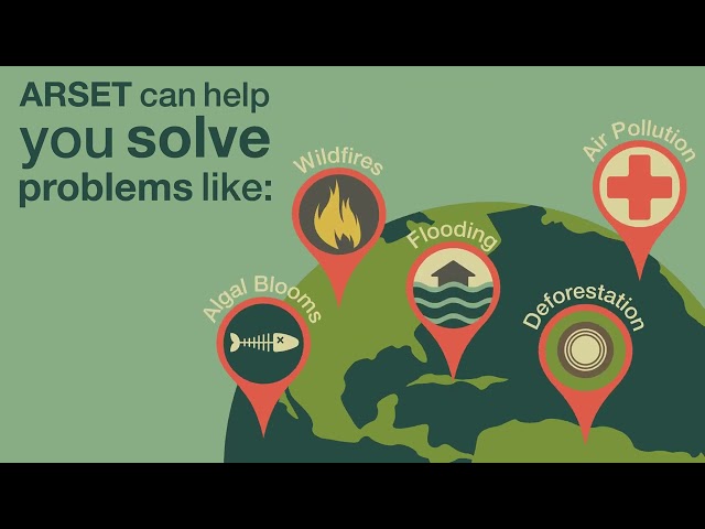
NASA ARSET seeks to empower the global community through online and in-person remote sensing training. Learn more: ...
2,931 views
Introductory Webinar: Understanding Phenology with Remote Sensing Part One: Overview of Phenology and Remote Sensing ...
9,964 views
NEON staff scientist Tristan Goulden introduces the theory and use of hyperspectral remote sensing data. Hyperspectral remote ...
34,965 views
9 years ago
Keywords ### #remotesensing #soildigitalsoilmapping #scale #samplingdensity #resolution #sensors #RTCLTV #shorts ...
116 views
2 years ago
Keywords ### #hyperspectralremotesensingimage #targetdetection #remotesensing #RTCLTV #shorts ### Article Attribution ...
109 views
The spectral resolution, an introduction. 'Land in Focus' Massive Open Online Course series, funded by the European Space ...
1,253 views
Keywords ### #remotesensing #environmentalconditions #detectionmethods #researchaimed #improvecurrent #currentforest ...
147 views
Monitoring and Modeling Floods using Earth Observations Part 1: Overview of Flood Monitoring Tools based on Remote Sensing ...
9,084 views