Upload date
All time
Last hour
Today
This week
This month
This year
Type
All
Video
Channel
Playlist
Movie
Duration
Short (< 4 minutes)
Medium (4-20 minutes)
Long (> 20 minutes)
Sort by
Relevance
Rating
View count
Features
HD
Subtitles/CC
Creative Commons
3D
Live
4K
360°
VR180
HDR
54,081 results
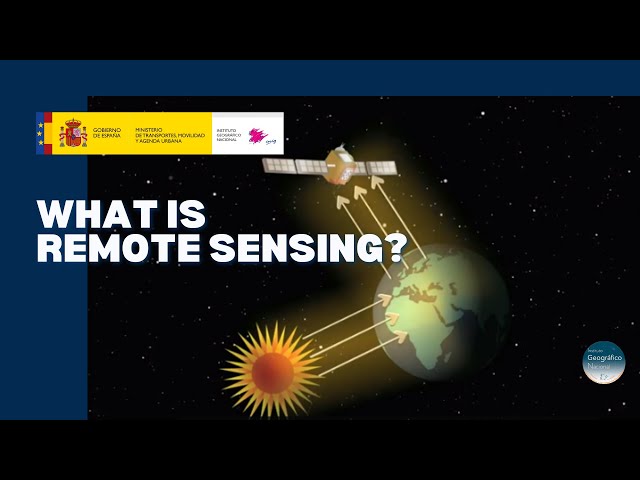
Discover the technology that enables to explore the terrain without being in contact with it. A tour around the current technologies ...
20,723 views
5 years ago
Did you ever wonder how your camera actually takes a picture? It's all about light - it records the light that objects reflect.
179,864 views
10 years ago
This NEON Science video overviews what lidar or light detection and ranging is, how it works and what types of information it can ...
1,000,374 views
11 years ago
CIRES Fellow and NASA Chief Scientist Waleed Abdalati and CIRES Fellow Steve Nerem explain Remote Sensing and how it is ...
270,988 views
14 years ago
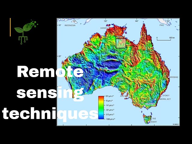
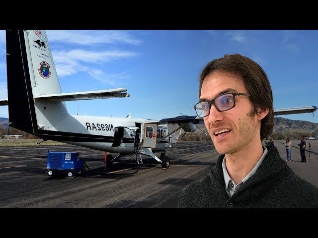
Professor John Mavrogenes (Mav) from the Australian National University (anu.edu.au) explores remote sensing techniques for ...
4,474 views
4 years ago
"Remote Sensing & GIS Made Simple | Must-Know Concepts in 10 Minutes!" "What is Remote Sensing & GIS? | Explained for ...
855 views
8 months ago
Remote sensing collects data about the Earth remote sensing through satellites allows for a large-scale synoptic view of the earth ...
4,817 views
3 years ago
What is a satellite (Remote Sensing) image?
600 views
Introductory Webinar: Satellite Remote Sensing for Agricultural Applications This section will cover the ARSET Program and give ...
20,241 views
Overview of relevant satellites and sensors, and data and tools for aquatic environmental management. This training was created ...
22,503 views
J.B. Sharma describes the GEOG 883 Remote Sensing Image Analysis and Applications course offered online though Geospatial ...
1,144 views
Linking high spatial resolution data with coarser spatial resolution imagery to create quantitative products such as vegetation ...
2,482 views
12 years ago
https://media.ccc.de/v/bucharest-116-remote-sensing-analysis-for-urban-research-at-scale Image classification of urbanization ...
1,242 views
6 years ago
NEON staff scientist Tristan Goulden introduces the theory and use of hyperspectral remote sensing data. Hyperspectral remote ...
34,952 views
9 years ago
Introductory Webinar: Understanding Phenology with Remote Sensing Part One: Overview of Phenology and Remote Sensing ...
9,958 views
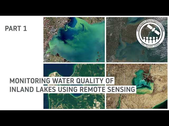
Monitoring Water Quality of Inland Lakes using Remote Sensing Part 1: Overview of Remote Sensing Observations to Assess ...
10,274 views
2 years ago
First lecture in Introductory Remote Sensing class.
7,747 views
Landslide Monitoring and Risk Assessment Using NASA Earth System Data Part 3: Remote Sensing and Landslide Susceptibility ...
1,271 views
11 months ago
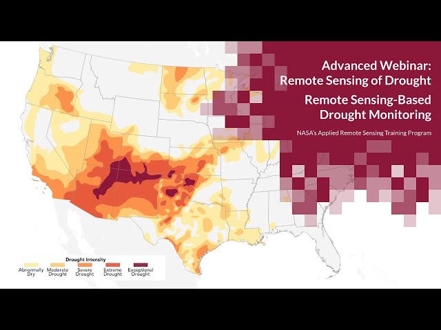
This session includes an overview of drought classification, an introduction to web-based drought monitoring tools, ...
11,744 views
7 years ago
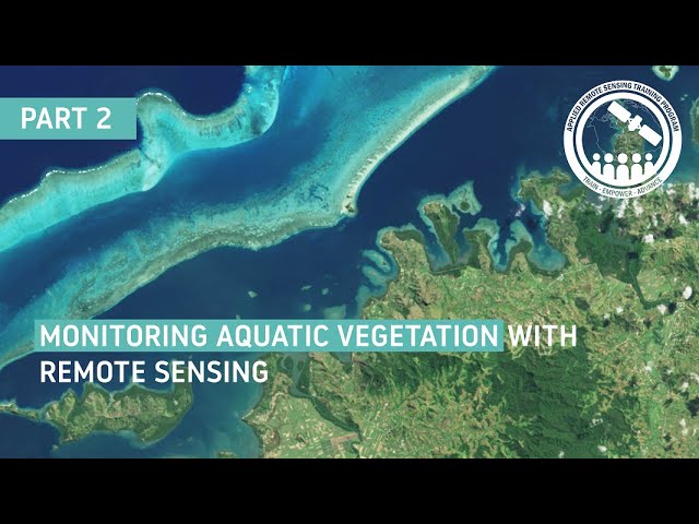
Monitoring Aquatic Vegetation with Remote Sensing Part 2: July 14, 2022 Trainers: Juan L. Torres-Pérez (Lead), Amber ...
1,790 views