Upload date
All time
Last hour
Today
This week
This month
This year
Type
All
Video
Channel
Playlist
Movie
Duration
Short (< 4 minutes)
Medium (4-20 minutes)
Long (> 20 minutes)
Sort by
Relevance
Rating
View count
Features
HD
Subtitles/CC
Creative Commons
3D
Live
4K
360°
VR180
HDR
11 results
A basic yet straightforward tutorial on training (and testing) a geospatial artificial intelligence (GeoAI) model for satellite image ...
820 views
10 months ago
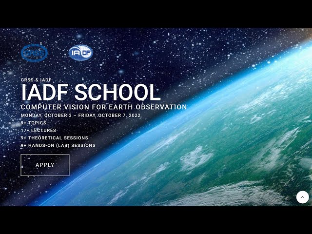
Change Detection (TorchGeo), Dr. Caleb Robinson, Microsoft (USA) IEEE GRSS First IADF School on Computer Vision for Earth ...
3,260 views
2 years ago
Deep/Machine Learning for Spectral Unmixing by Dr. Behnood Rasti, Helmholtz-Zentrum Dresden-Rossendorf (Germany) IEEE ...
1,889 views
Prof. Michael Mommert, University of St. Gallen, Switzerland.
945 views
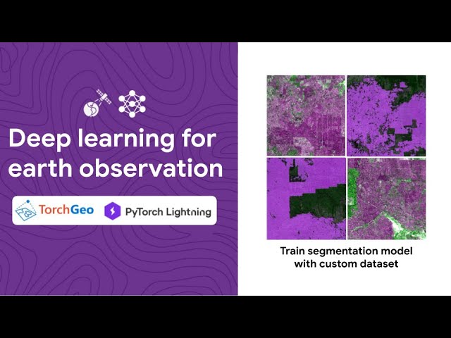
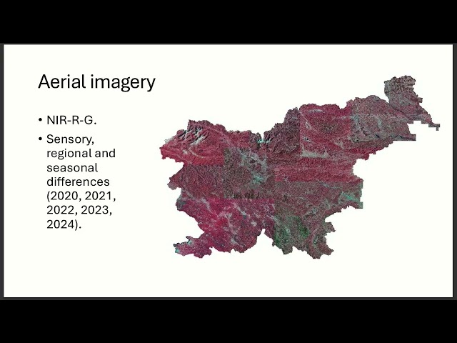
Presented by Alen Mangafić, Tomaž Žagar on 20 November 2025 16:00, at FOSS4G 2025 Auckland. Track: Academic Full ...
47 views
1 month ago
XAI for Earth Science Dr. Michele Ronco University of Valencia (Spain) IEEE GRSS First IADF School on Computer Vision for ...
245 views
Notes - https://drive.google.com/file/d/1OROYIk7ZNp980C68qcGv5mWGgq1FG-Vy/view?usp=sharing My Notes: ...
212,286 views
1 year ago
PEARL, the Planetary Computer Land Cover Mapping Platform, allows users to quickly create accurate land cover maps by ...
132 views
4 years ago
91 views
Keywords ### #remotesensing #orthoimagery #convolutionalneuralnetwork #perpixelclassification #segmentation ...
25 views
Keywords ### #cloudcomputing #machinelearning #wetlandclassification #Sentinel1 #Sentinel2 #digitalterrainmodel ...
210 views