Upload date
All time
Last hour
Today
This week
This month
This year
Type
All
Video
Channel
Playlist
Movie
Duration
Short (< 4 minutes)
Medium (4-20 minutes)
Long (> 20 minutes)
Sort by
Relevance
Rating
View count
Features
HD
Subtitles/CC
Creative Commons
3D
Live
4K
360°
VR180
HDR
147,517 results
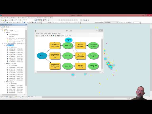
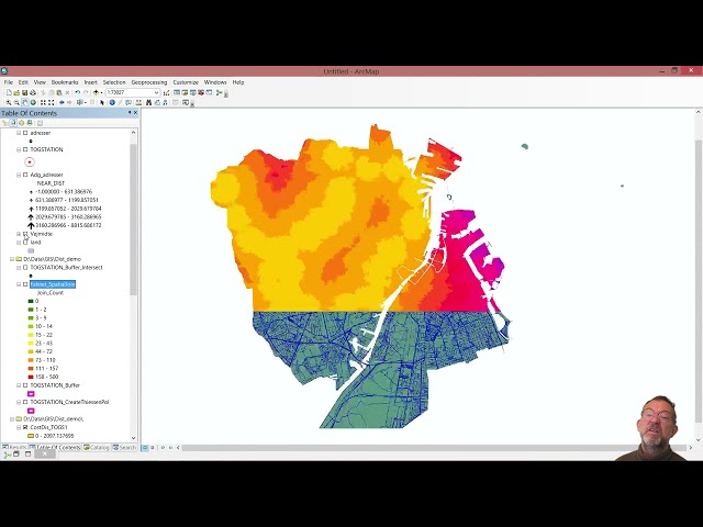
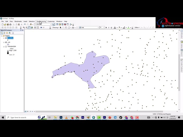
Visualizing point patterns in ArcMap.
1,916 views
10 years ago
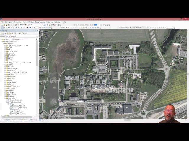
This is a quick demo of how to get raster layers out of an Esri File Geodatabase (.gdb folder) using ArcMap. This is useful for when ...
1,295 views
5 years ago
Update December 2025 *** The latest version of the addon is working with Bledner 5.0 again you can download it here: ...
1,987,406 views
6 years ago
Creating and editing spatial data in ArcMap.
1,998 views
A introduction to calculating point density in ArcMap.
8,782 views
This video is somewhat outdated for an updated version see the video The Basics of GIS - ArcGIS pro ...
354 views
Interpolation can be done using Kriging in geostatistics tool box in arcmap.
2,471 views
7 years ago
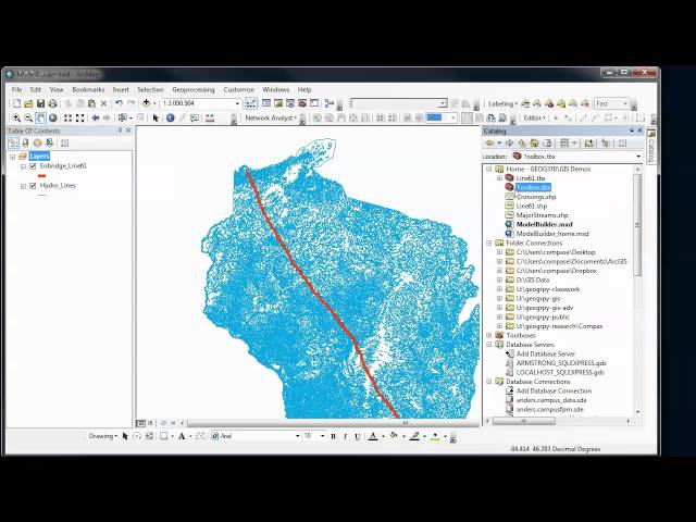
Overview of how to use the ModelBuilder in ArcGIS to automate and document your GIS analysis procedures. In Part 1, we create ...
3,992 views
11 years ago
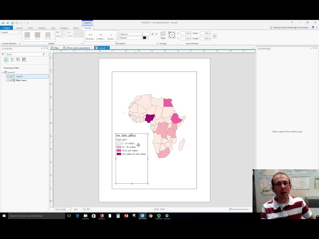
Dr. Sterling Quinn demonstrates how to make a basic map legend in ArcGIS Pro. Central Washington University offers a GIS ...
63,715 views
4 years ago
How to import a scanned map (print, historic, etc) and place it correctly in a GIS coordinate system.
1,611 views
8 years ago
Dr. Sterling Quinn demonstrates how to use various snapping settings when editing vector data in ArcGIS Pro. Central ...
16,183 views
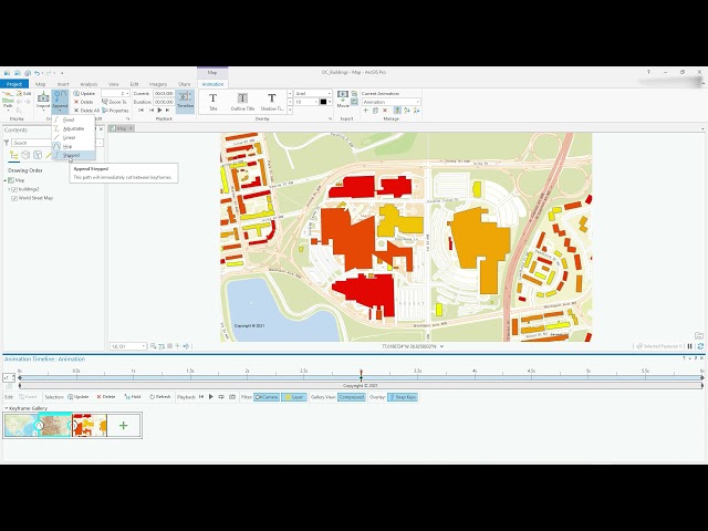
Video #104 This video will show you how to get started with creating smooth animations in ArcGIS Pro. Access the Animation ...
17,013 views
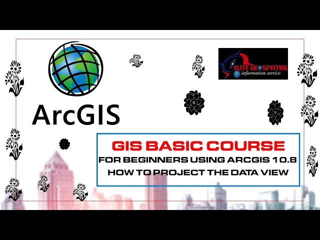
This basic GIS Tutorial is for Beginners or who are new in Arcgis Desktop.
6,359 views
9 years ago
elite geospatial is a spatial company and a training institue its offers wide coverage in the area of gis and remote sensing. this ...
207 views
3 years ago
Dr. Sterling Quinn demonstrates how to make an elevation profile graph from a polyline in ArcGIS Pro. Central Washington ...
22,655 views
129 views
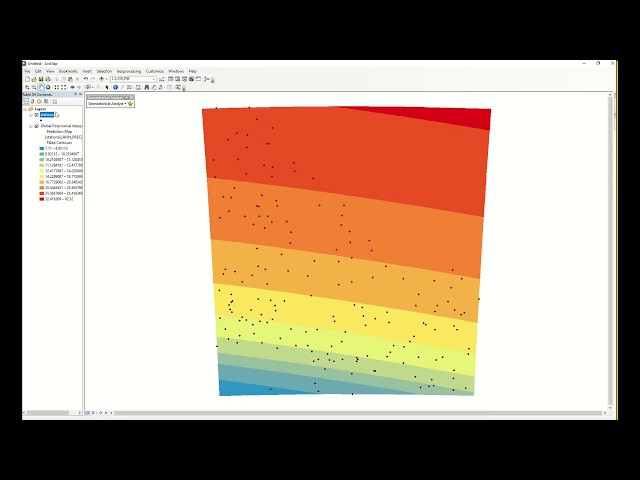
Annual Rainfall interpolation using Global Polynomial interpolation using Geostatistical tool in Arcmap.
911 views
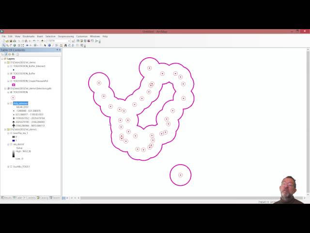
This video shows how to use basic map topology in ArcMap and covers basic map topology editing tasks.
282 views
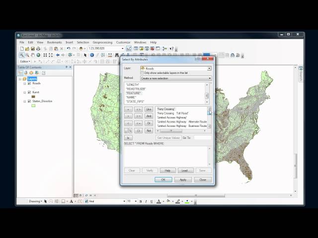
How to do basic queries in ArcMap using the "Select by attributes" and "Select by location" tools.
27,709 views
14 years ago
GIS BASICS :HOW TO CLIP(VECTOR) LAYER ON ARCMAP 10.8 #autocad #viral #tutorial #arcgistutorial Elite Geospatial is a ...
142 views