Upload date
All time
Last hour
Today
This week
This month
This year
Type
All
Video
Channel
Playlist
Movie
Duration
Short (< 4 minutes)
Medium (4-20 minutes)
Long (> 20 minutes)
Sort by
Relevance
Rating
View count
Features
HD
Subtitles/CC
Creative Commons
3D
Live
4K
360°
VR180
HDR
41,723 results
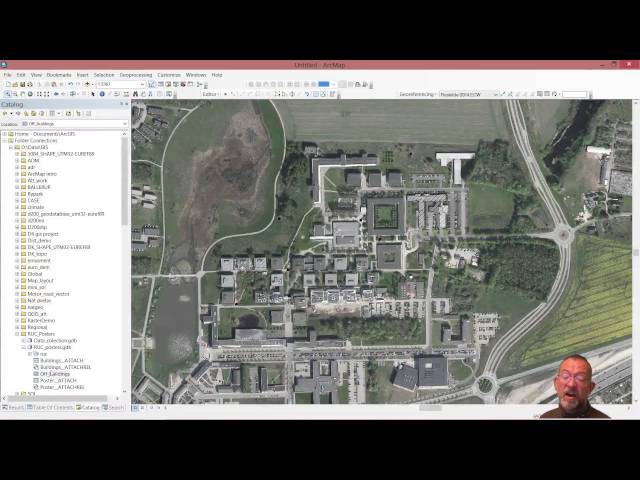
Creating and editing spatial data in ArcMap.
1,994 views
10 years ago
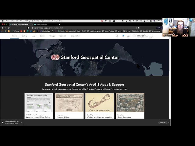
A production of the Stanford Geospatial Center, The Stanford Maps Library and The Branner Earth Sciences Library.
6,635 views
4 years ago
This video is somewhat outdated for an updated version see the video The Basics of GIS - ArcGIS pro ...
354 views
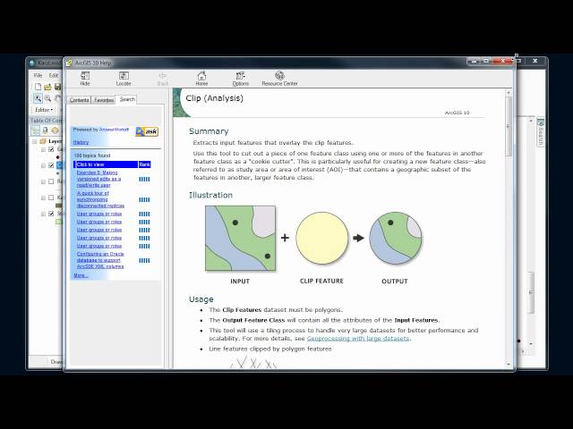
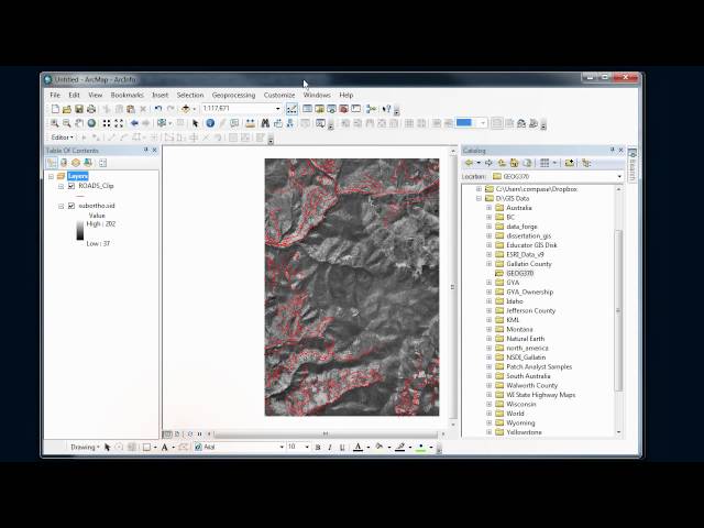
Basics of using the geoprocessing tools in ArcMap and setting analysis environment.
11,032 views
14 years ago
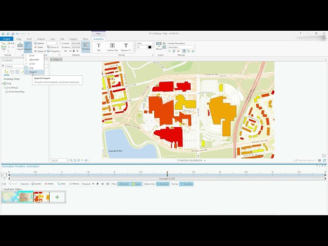
Video #104 This video will show you how to get started with creating smooth animations in ArcGIS Pro. Access the Animation ...
16,965 views
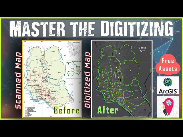
Learn Digitizing in ArcGIS from Basic to Advance within just 15 Minutes. Digitizing is the process of converting geographic ...
157,764 views
5 years ago
How to import a scanned map (print, historic, etc) and place it correctly in a GIS coordinate system.
1,583 views
8 years ago
This GIS tutorial will help you to learn the proper Land use Data. ArcGIS is one of the important software who is able to handle a ...
8,068 views
9 years ago
This video shows how to use the editor in ArcMap. It is designed as a component in the Introductory to Digital Mapping offered by ...
285 views
elite geospatial is a spatial company and a training institue its offers wide coverage in the area of gis and remote sensing. this ...
206 views
3 years ago
This screencast video shows you the steps involved from collecting field data (georegistered with a GPS device) then creating a ...
12,001 views
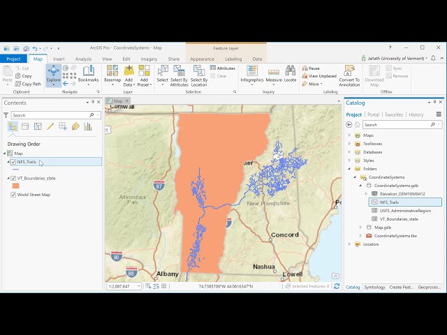
This video introduces basic concepts of working with coordinate systems in ArcGIS Pro.
14,814 views
Recording of the webinar held on 29 November 2017.
183 views
A introduction to the use buffer tool.
4,446 views
This basic GIS Tutorial is for Beginners or who are new in Arcgis Desktop.
6,352 views
Using ArcGIS/ArcMap to group spatial units based on maximum similarity with respect to attribute values.
9,736 views
Video #123 In this short (3 minutes!) video, I demonstrate the Move, Rotate and Scale tools. I execute these tools on a polygon ...
14,694 views
This video shows how to use basic map topology in ArcMap and covers basic map topology editing tasks.
282 views
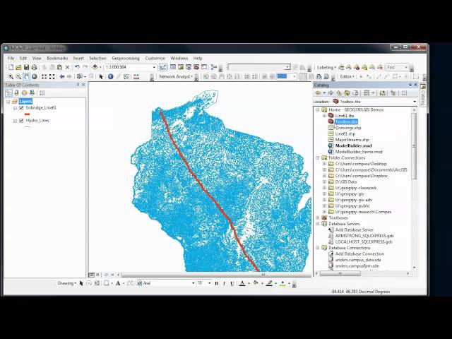
Overview of how to use the ModelBuilder in ArcGIS to automate and document your GIS analysis procedures. In Part 1, we create ...
3,991 views
11 years ago
How to create a blank shapefile for editing in ArcMap or ArcCatalog 10.x.
6,333 views
How ArcCatalog and ArcMap handle coordinate systems. Basic reproject on-the-fly.
53,299 views
Video #108 This video will get you going with using SQLServer (in this case Express) as the database for all your spatial queries.
23,187 views
Video #148 In this short video I clarify what the contents of the project folder are when you start ArcGIS Pro with a Map template.
5,994 views
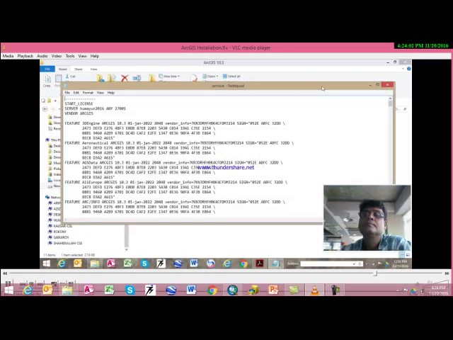
This Installation Procedure will help the beginner to Install ArcGIS V10.3 software.
113 views
connect with me via social twitter @aprokosurveyor instagram _ youtube Hire me on fiver ...
1,523 views
2 years ago