Upload date
All time
Last hour
Today
This week
This month
This year
Type
All
Video
Channel
Playlist
Movie
Duration
Short (< 4 minutes)
Medium (4-20 minutes)
Long (> 20 minutes)
Sort by
Relevance
Rating
View count
Features
HD
Subtitles/CC
Creative Commons
3D
Live
4K
360°
VR180
HDR
19,198 results
Get to know geospatial data types (basics) in the form of vector and raster data based on explanations from ...
349 views
3 years ago
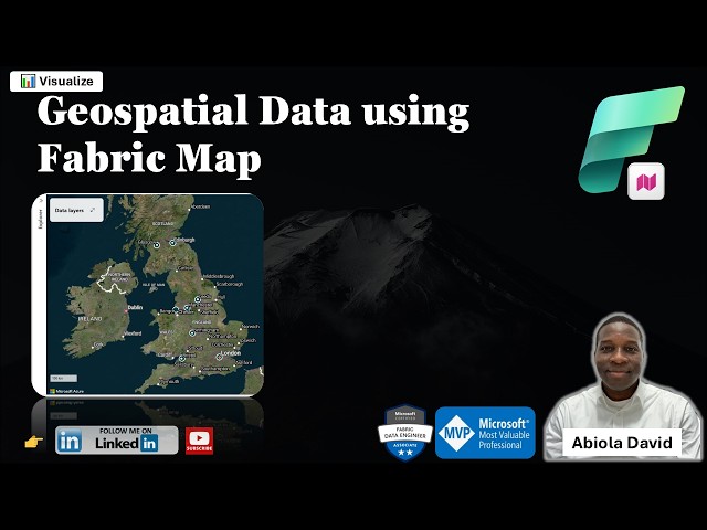
One of the exciting additions to Microsoft Fabric is the Map Item which enables teams to visualize and analyze geospatial data ...
33 views
2 hours ago
telluric: interactive manipulation of Geospatial data with Jupyter and Python telluric library is an open source library developed by ...
272 views
7 years ago
Learn about Geospatial Analysis with the National Student Data Corps! What is geospatial data and why is it so important?
986 views
2 years ago
Sherrie Xie, Post-doctoral research fellow at the University of Pennsylvania gave a workshop at the R/Medicine 2022 Virtual ...
13,715 views
Learn about Geospatial Analysis with the National Student Data Corps! Why is geospatial data processing important? What are ...
408 views
Geographic Value (GeoValue) research demonstrates actions data providers can take to optimize the value of their geospatial ...
64 views
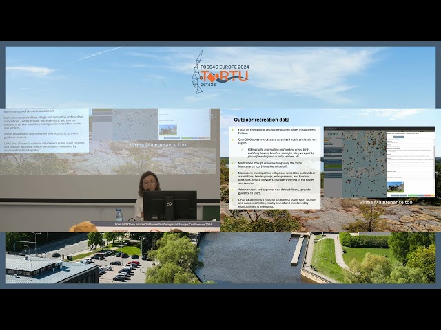
Presented by Hidemichi Baba, Hinako Iseki on 19 November 2025 16:30, at FOSS4G 2025 Auckland. Track: Keynote Full ...
2 months ago
In this video, we will walk you through the topic of Geospatial Metadata, including how to report about geospatial information using ...
646 views
1 year ago
This video highlights the importance of big geospatial data in the digital age and provides an introduction to the NFDI4Earth ...
51 views
Collecting geospatial data through crowdsourcing offers a rapid, cost-effective, and dynamic alternative to traditional methods.
119 views
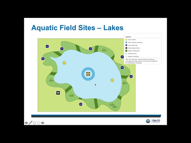
This video provides a detailed overview of how NEON spatial design and where you can access geospatial data. For more ...
379 views
5 years ago
A overview of Geospatial Data Modelling including Conceptual models (ontologies) Digital representation models Analysis ...
6,090 views
This video introduces the core concepts around the representation of continuous data using raster data formats, the importance of ...
215 views
9 years ago
With decreasing costs for cloud computing and storage, numerous traditional Geographic Information System (GIS) workloads are ...
169 views
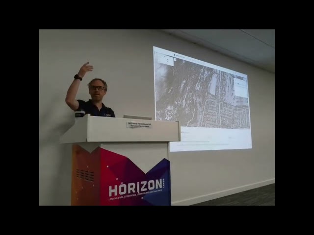
FOSS4G:UK 2025 Leeds https://uk.osgeo.org/foss4guk2025/ Speaker: Alex Donald, Geological Survey of Northern Ireland This ...
38 views
5 months ago
In this video, I will focus on transforming the world of discourse into a geospatial data schema. This video is complemented by A ...
301 views
SDSN SDGs Today's initiative, My School Today uses OpenStreetMap map data to share population counts within various travel ...
82 views
For data-driven organizations, it is critical to have reliable ETL processes. As an open-source tool, Geocint can help organizations ...
192 views
Josh Persi leads a discussion of Chapter 14 ("Visualizing trends") and Chapter 15 ("Visualizing geospatial data") from ...
91 views
6 months ago