Upload date
All time
Last hour
Today
This week
This month
This year
Type
All
Video
Channel
Playlist
Movie
Duration
Short (< 4 minutes)
Medium (4-20 minutes)
Long (> 20 minutes)
Sort by
Relevance
Rating
View count
Features
HD
Subtitles/CC
Creative Commons
3D
Live
4K
360°
VR180
HDR
305 results
QFieldCloud's unique technology allows your team to focus on what's important, making sure you efficiently get the best field data ...
359 views
4 years ago
526 views
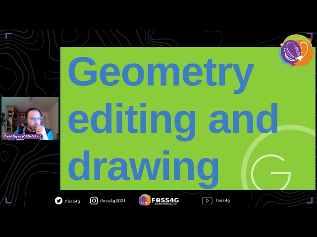
Presented by Ivan Ivanov on 19 November 2025 15:30, at FOSS4G 2025 Auckland. Track: Desktop GIS & Data Collection Full ...
24 views
1 month ago
108 views
1 year ago
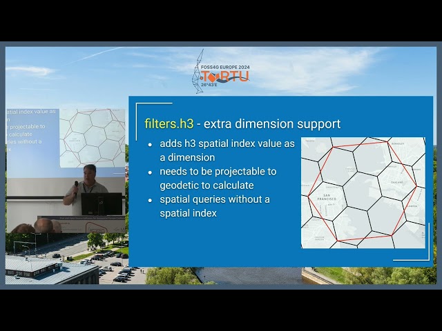
Presented by Berit Mohr, Mathieu Pellerin on 21 November 2025 10:00, at FOSS4G 2025 Auckland. Track: Desktop GIS & Data ...
20 views
GIS: How to access QFieldCloud Projects functionality in QField App? Helpful? Please support me on Patreon: ...
229 views
QFieldCloud-pilvipalvelun käyttö selaimessa - Miten projektien muutokset tallentuvat ja miten kutsutaan uusia jäseniä ...
39 views
PostGIS represents the de-facto standard for managing your spatial data, while QField is the state-of-the-art application for their ...
310 views
QField is the mobile data collection app for QGIS with more than 100K active monthly users and well over 350K downloads.
1,205 views
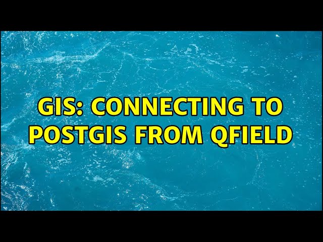
GIS: Connecting to PostGIS from QField Helpful? Please support me on Patreon: https://www.patreon.com/roelvandepaar With ...
396 views
We have been busy improving QGIS 3D, point clouds and 3D Tiles integration in the past year. This presentation highlights the ...
124 views
Finnish National Geoportal Paikkatietoikkuna was first launched in 2009 and is now the home of over 3000 open map layers from ...
90 views
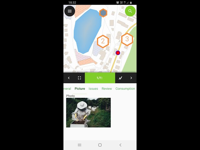
This talk will showcase how Mergin Maps, powered by QGIS, helps you capture data faster and collaborate effectively, using ...
78 views
PDAL is Point Data Abstraction Library. It is a C/C++ open source library and applications for translating and processing point ...
313 views
This new release comes with exciting new features and also contains more usability enhancements. For more details see ...
64,288 views
5 years ago
GIS: Unable to save changes in QField Helpful? Please support me on Patreon: https://www.patreon.com/roelvandepaar With ...
392 views
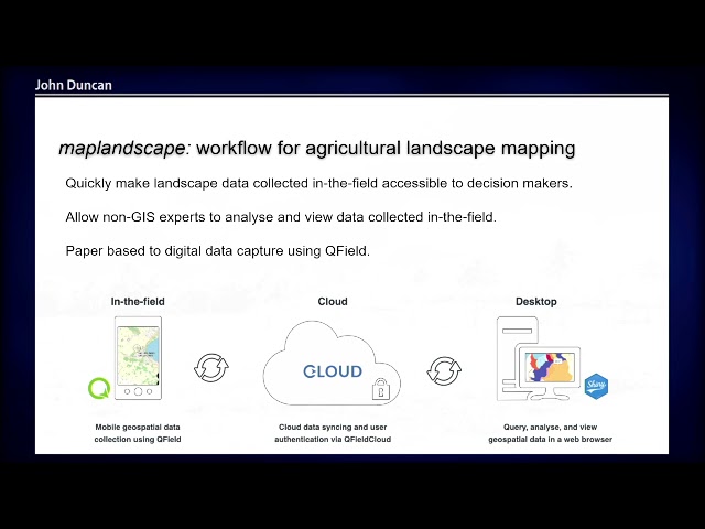
Maplandscape - an open-source geospatial workflow for agricultural landscape monitoring Maplandscape is a stack of ...
27 views
This short talk is about applying the concept of tiles to store geospatial information in a database and use it efficiently.
69 views
As part of the company's goal to make coastlines more resilient and work on nature based solutions, we created a tool which gives ...
GIS: QGIS Cloud: WFS error Download of capabilities failed: Protocol "" is unknown Helpful? Please support me on Patreon: ...
522 views


![FOSS4G 2025 | [Re]discover QField[Cloud]](/api/proxy/image?url=https%3A%2F%2Fi.ytimg.com%2Fvi%2F1BqGF5mMkbs%2Fsddefault.jpg)