Upload date
All time
Last hour
Today
This week
This month
This year
Type
All
Video
Channel
Playlist
Movie
Duration
Short (< 4 minutes)
Medium (4-20 minutes)
Long (> 20 minutes)
Sort by
Relevance
Rating
View count
Features
HD
Subtitles/CC
Creative Commons
3D
Live
4K
360°
VR180
HDR
113,934 results
In this video we use QGIS and Blender GIS to import maps, heightmaps, and OSM data accurately into Blender. QGIS: ...
59,152 views
1 year ago
This video is a very basic look at QGIS for Absolute Beginners. At times it is really fast ( I mean it, it is wicked fast), and you will ...
838,211 views
6 years ago
In this video I show you how to texture buildings created with the addon Blender GIS. To learn how to use Blender GIS please see ...
161,200 views
5 years ago
Update December 2025 *** The latest version of the addon is working with Bledner 5.0 again you can download it here: ...
1,981,879 views
Stacie Wolny, GIS Analyst with the Natural Capital Project provides an overview of coordinate systems and projection using ...
1,769 views
4 years ago
In this session we will start with a few GRASS GIS basics, showing its concepts. We then focus on analysing the ECA&D data ...
3,102 views
In this video, we will learn together about GIS technology by answering the below questions: What is GIS? How is GIS used?
718 views
2 years ago
MOLUSCE is a quick and convenient tool to analyse land cover changes in QGIS. With version 4.0 it's now available in the latest ...
18,903 views
In this video i present the basic workflow of editing data and creating a map design/layout including exporting it as PDF using ...
67,434 views
7 years ago
In this comprehensive GIS tutorial, we'll move beyond basic mapping to answer a critical urban planning question: How ...
2,607 views
7 months ago
This video explains how to use Depthmap to create Space Syntax measures of Integration and Choice of a street network, export ...
39,436 views
Video #148 In this short video I clarify what the contents of the project folder are when you start ArcGIS Pro with a Map template.
5,917 views
3 years ago
A short videotutorial to illustrate how to recover old excavations data and changing them from local (cartesian) coordinate systems ...
2,232 views
9 years ago
Download at qgis.org.
809 views
12 years ago
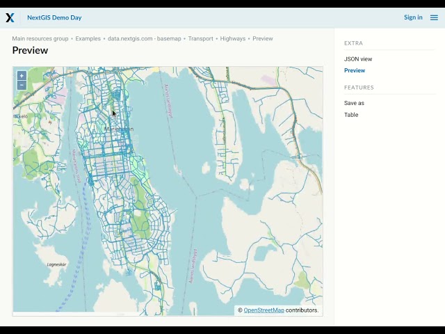
You can preview vector and raster layers, styled data, TMS services. Sign-up for NextGIS Platform for interactive maps, data ...
826 views
A very quick introduction to a few of the terms and concepts that you might come across when talking about Geographical ...
117 views
11 years ago
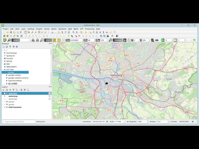
Empfehlung: Mit 1,5-facher Geschwindigkeit angucken google maps url: ...
22,717 views
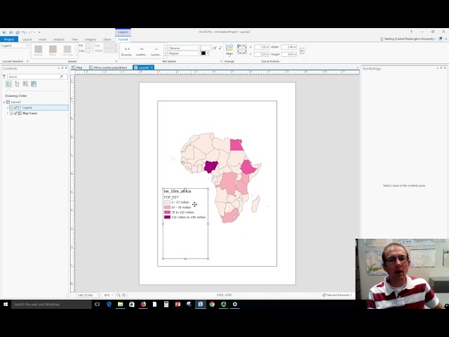
Dr. Sterling Quinn demonstrates how to make a basic map legend in ArcGIS Pro. Central Washington University offers a GIS ...
63,220 views
369 views
10 years ago
A tutorial on map algebra in GRASS GIS. Software: GRASS GIS Tutorial: http://baharmon.github.io/map-algebra-in-grass Data: ...
711 views