Upload date
All time
Last hour
Today
This week
This month
This year
Type
All
Video
Channel
Playlist
Movie
Duration
Short (< 4 minutes)
Medium (4-20 minutes)
Long (> 20 minutes)
Sort by
Relevance
Rating
View count
Features
HD
Subtitles/CC
Creative Commons
3D
Live
4K
360°
VR180
HDR
113,654 results
In this video, we will learn together about GIS technology by answering the below questions: What is GIS? How is GIS used?
724 views
2 years ago
In this video we use QGIS and Blender GIS to import maps, heightmaps, and OSM data accurately into Blender. QGIS: ...
59,855 views
1 year ago
This video is a very basic look at QGIS for Absolute Beginners. At times it is really fast ( I mean it, it is wicked fast), and you will ...
839,436 views
6 years ago
Empfehlung: Mit 1,5-facher Geschwindigkeit angucken google maps url: ...
22,930 views
4 years ago
Main principles of GIS Of you are interested to learn more, here is my Udemy Course: ...
2,464 views
5 years ago
Update December 2025 *** The latest version of the addon is working with Bledner 5.0 again you can download it here: ...
1,983,118 views
In this video I show you how to texture buildings created with the addon Blender GIS. To learn how to use Blender GIS please see ...
161,359 views
369 views
10 years ago
GIS: Is there any learning material available for GE Smallworld? Helpful? Please support me on Patreon: ...
1,092 views
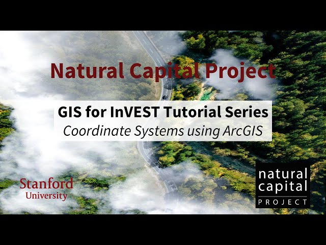
Stacie Wolny, GIS Analyst with the Natural Capital Project provides an overview of coordinate systems and projection using ...
1,774 views
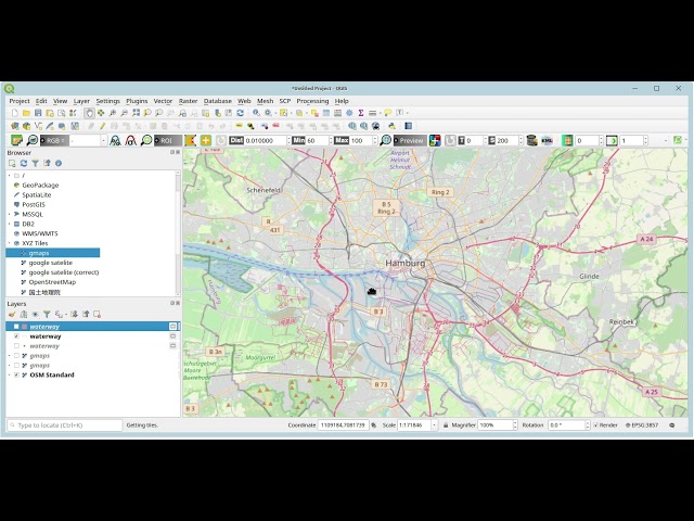
In this video i present the basic workflow of editing data and creating a map design/layout including exporting it as PDF using ...
67,449 views
7 years ago
MOLUSCE is a quick and convenient tool to analyse land cover changes in QGIS. With version 4.0 it's now available in the latest ...
19,088 views
In this session we will start with a few GRASS GIS basics, showing its concepts. We then focus on analysing the ECA&D data ...
3,102 views
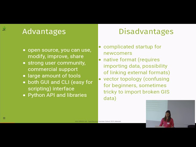
A very quick introduction to a few of the terms and concepts that you might come across when talking about Geographical ...
117 views
11 years ago
In this comprehensive GIS tutorial, we'll move beyond basic mapping to answer a critical urban planning question: How ...
2,628 views
8 months ago
Download at qgis.org.
810 views
12 years ago
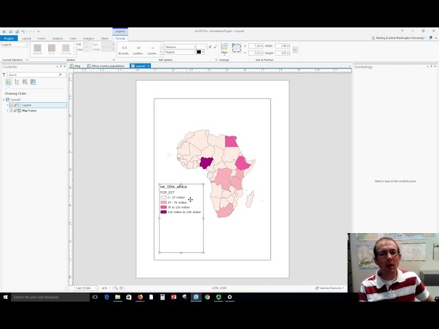
Dr. Sterling Quinn demonstrates how to make a basic map legend in ArcGIS Pro. Central Washington University offers a GIS ...
63,386 views
Video #148 In this short video I clarify what the contents of the project folder are when you start ArcGIS Pro with a Map template.
5,941 views
3 years ago
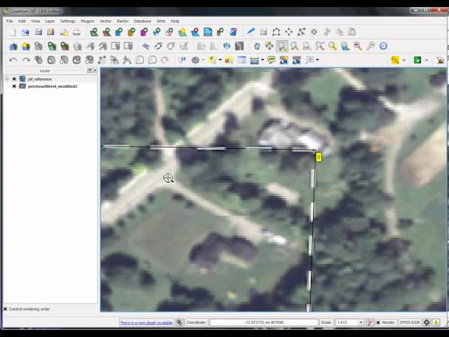
A short videotutorial to illustrate how to recover old excavations data and changing them from local (cartesian) coordinate systems ...
2,234 views
9 years ago
My arcgis folder press right click new python file i'll rename mine arc gis. Let's import arc gis library if you don't already have ...
265 views