Upload date
All time
Last hour
Today
This week
This month
This year
Type
All
Video
Channel
Playlist
Movie
Duration
Short (< 4 minutes)
Medium (4-20 minutes)
Long (> 20 minutes)
Sort by
Relevance
Rating
View count
Features
HD
Subtitles/CC
Creative Commons
3D
Live
4K
360°
VR180
HDR
21 results
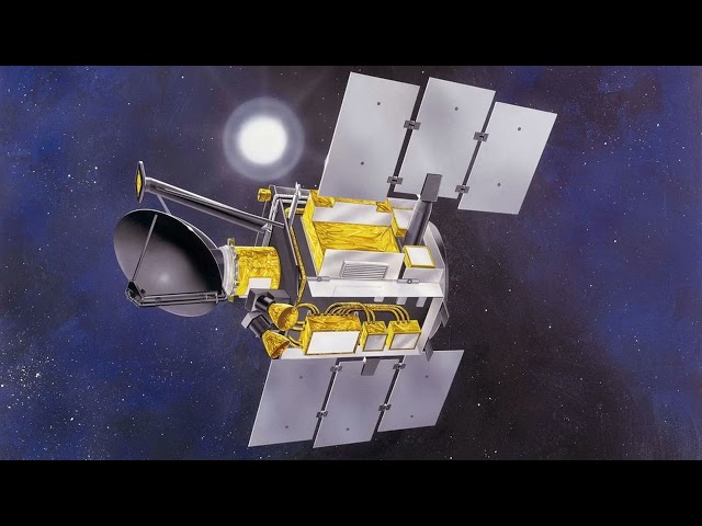
QuikSCAT: QuikSCAT far exceeded these design expectations and continued to operate for over a decade before a bearing ...
94 views
4 years ago
200 independent rocks falling down a slope, based on DEM data. Surface scattered with obstacles with a stochastic distribution.
179 views
8 years ago
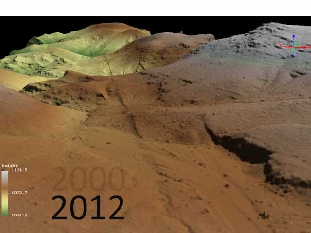
Repeat pass LiDAR data.
1,287 views
13 years ago
Reverse-engineer complex metal parts effortlessly! 🛠️✨ This quick overview shows how the EinScan SP V2 3D scanner and ...
15,650 views
1 year ago
Describing the Process of converting a geopolitical conceptual model to a digital representation 00:00 Introduction 01:15 ...
551 views
7 years ago
Keywords ### #watermask #rivers #Landsat8 #MNDWI #Cannyedgefilter #Otsuthresholding #SRTM #HAND #OpenStreetMap ...
8 views
2 years ago
Our LiDAR processing software is the most complete solution so far. Our LiDAR software process up to 25 billion points coming ...
623 views
GIS: How to smooth the DTM? Helpful? Please support me on Patreon: https://www.patreon.com/roelvandepaar With thanks ...
87 views
Topic: Challenges in dealing with observations Clara Draper (NOAA) - Time scales in land data assimilation Learn more: ...
41 views
Keywords ### #Groundwaterpotentiality #Datamining #GIS #Remotesensing #Randomsubspace #RTCLTV ### Article Attribution ...
73 views
How do submarine break ice? @warlogs @AiirSource @USMilitary_News @usmn @Military-TV @TheMilitaryShow @밀리터리 ...
28,840 views
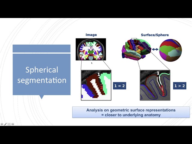
Spherical coordinate systems have become a standard for analyzing human cortical neuroimaging data. Surface-based signals ...
354 views
5 years ago
Kali ini saya membagikan proses pembuatan triangle surface dari data point yang sudah selesai dilakukan string dan lengkap ...
1,068 views
Українська версія трансляції: https://youtu.be/FYEXnI8RpX8 During the Strategic Communication Event 'The usage of Slavutych ...
123 views
Streamed 5 years ago
This is the second half of the tutorial, showing how to filter out vegetation and create the DTM and then to asses it's quality.
1,220 views
GIS: Reading GRIB data? Helpful? Please support me on Patreon: https://www.patreon.com/roelvandepaar With thanks & praise ...
86 views
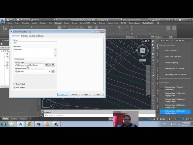
River and Flood Analysis module enables to carry out HEC-RAS analysis directly in AutoCAD Civil 3D environment. You can use ...
47,092 views
9 years ago
In The AMOS Project, student teams develop open-source software based on requirements from an industry partner. This is the ...
292 views
Microsoft announced new Surface hardware and a variety of accessories, Roku began rolling out Roku OS 10, which adds AirPlay ...
640 views
http://draftsman.wordpress.com/
84 views
11 years ago


![The AMOS Project: Team and Tools (Slides B01) (Winter 2023/24) [AMOS]](/api/proxy/image?url=https%3A%2F%2Fi.ytimg.com%2Fvi%2FzEzZsgMIJ5E%2Fsddefault.jpg)