Upload date
All time
Last hour
Today
This week
This month
This year
Type
All
Video
Channel
Playlist
Movie
Duration
Short (< 4 minutes)
Medium (4-20 minutes)
Long (> 20 minutes)
Sort by
Relevance
Rating
View count
Features
HD
Subtitles/CC
Creative Commons
3D
Live
4K
360°
VR180
HDR
397 results
This video documents the public defence of my Master's thesis at the Faculty of Architecture, Gdańsk University of Technology, ...
132 views
1 month ago
Academic Showcases: Insights from the Thomas Harriot College of Arts & Sciences on how spatial data is used for real-world ...
14 views
At long last, here it is! A comprehensive, from-the-ground-up introduction to the foundational concepts used in modern color ...
100,851 views
3 years ago
Miya Khoo (UM '26 Marine Biology) shares her insights into why she took GEG 410 and what she learned from this course.
19 views
2 months ago
Presented by Dr. Michael Frachetti — Co-Director of the Incubator for Transdisciplinary Futures — Director/PI: Spatial Analysis, ...
43 views
10 months ago
Spatial Analysis) 20:25 - Considering the "speed" of Quantitative Analysis vs. Spatial Analysis 21:51 - Requirement 4: CONSIDER ...
124 views
1 year ago
In this video, I dive deep into Christopher Nolan's Interstellar, exploring the mind-blowing science of black holes, time dilation, and ...
18 views
The annual GEOINT Symposium starts with the GEOINT FOREWORD Day. Torsten Kriening had the chance to summarise the day ...
60 views
Sponsored by the Spatial Data Lab (SDL) project, this symposium aims to promote replicable and expandable spatiotemporal ...
28 views
2 years ago
309 views
5 views
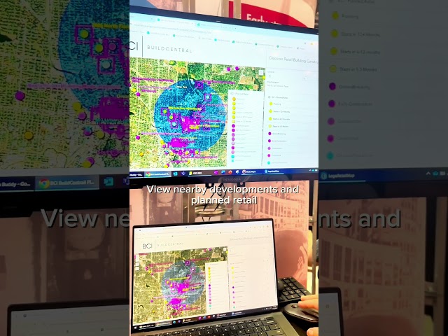
From capturing and analyzing spatial data to creating interactive maps and 3D models, see how BuildCentral integrates into Esri.
31 views
With a strong foundation in spatial analysis, cartography, and GIS automation, I've designed and taught courses that empower ...
15 views
2 weeks ago
Enhancing Climate Action in Freetown A Gendered Approach to Designing and Implementing Climate Adaptation Projects (NbS) ...
102 views
7 days ago
How TN State Parks GIS uses ArcGIS Field Maps to collect and manage Natural and Cultural Resources.
62 views
As a GIS Specialist, Micah's role involves gathering, analyzing, and visualizing spatial data to support decision-making. With his ...
594 views
The phenomenon of wallhacking in Overwatch has been a topic of debate among players and experts alike. While some view it as ...
1,894 views
In this video, Dr. Kushner takes you on a journey through the neighborhood to showcase a variety of visual depth cues that allow ...
76,221 views
EarthObservation panel at the AustralasianSatelliteForum discussing the critical role the ground segment plays in ensuring the ...
115 views
It was interesting to adapt spatial analysis techniques typically used for surface mapping to underground environments where ...
293 views
5 months ago


![[PN-VI] The Search for Odd Perfect Numbers](/api/proxy/image?url=https%3A%2F%2Fi.ytimg.com%2Fvi%2Fk2k8Zf1jgng%2Fsddefault.jpg)