Upload date
All time
Last hour
Today
This week
This month
This year
Type
All
Video
Channel
Playlist
Movie
Duration
Short (< 4 minutes)
Medium (4-20 minutes)
Long (> 20 minutes)
Sort by
Relevance
Rating
View count
Features
HD
Subtitles/CC
Creative Commons
3D
Live
4K
360°
VR180
HDR
96 results
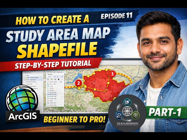
Learn how to create a clear and accurate study area map in ArcMap with this step-by-step tutorial! Whether you're a GIS student, ...
9 views
4 days ago
arcgis #arcgistutorial #gis #gistutorial #tutorial.
10 views
5 days ago
arcgis #gis #arcgistutorial #gistutorial #tutorial.
19 views
If you're still using shapefiles in ArcGIS Pro… you might be limiting your GIS projects without realizing it. In this beginner-friendly ...
72 views
Let Rising our Skills With ArcGIS Desketop.
15 views
7 days ago
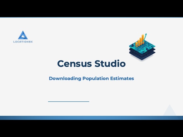
Learn how to download population estimates using Census Studio for ArcGIS Pro.
0 views
6 days ago
Learn how to download satellite imagery from Google Earth and georeference it in ArcMap for your GIS projects! This step-by-step ...
shapefile of point, polyline and polygon #gis #gistutorial #polyline #polygon #point #arcgistutorial #arcgis.
34 views
14 views
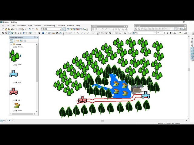
GISRS-1 How to Create a Study Area Map Shapefile | Step-by-Step Tutorial (Beginner to Pro) | Episode 11 | ArcGIS In this ...
68 views
Want to convert raster maps into editable vector data in ArcMap? This tutorial shows you how to digitize a raster image step by ...
5 views
Want to add your own location data to ArcMap for mapping and analysis? In this step-by-step tutorial, we show you how to import ...
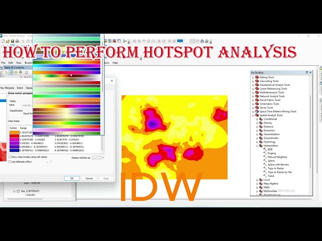
Want to identify statistically significant clusters in your spatial data? In this comprehensive tutorial, you'll learn how to perform Hot ...
26 views
Bar Diagram in ArcGIS | Thematic Map in ArcGIS | Data Attachment | Excel | Layout | Export | ArcMap | ESRI | ArcGIS 10.8 ...
7 views
1 hour ago
Tutorial Video for Professor Crook's GIS classes at Palomar College. This is a quick version of a longer tutorial showing how to ...
55 views
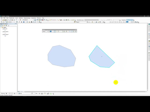
In this tutorial, you will learn how to create Point, Line, and Polygon features in Google Earth and convert them into Shapefiles in ...
23 views
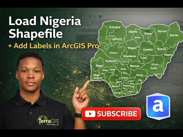
How to Download Nigeria Shapefile from GADM, Load into ArcGIS Pro, Apply Definition Query & Label States In this practical GIS ...
101 views
GISRS-1 How to Georeference an Image in ArcMap PRO | ArcGIS Pro Step-by-Step Tutorial [EPISODES - 8] Follow Me Online ...
28 views
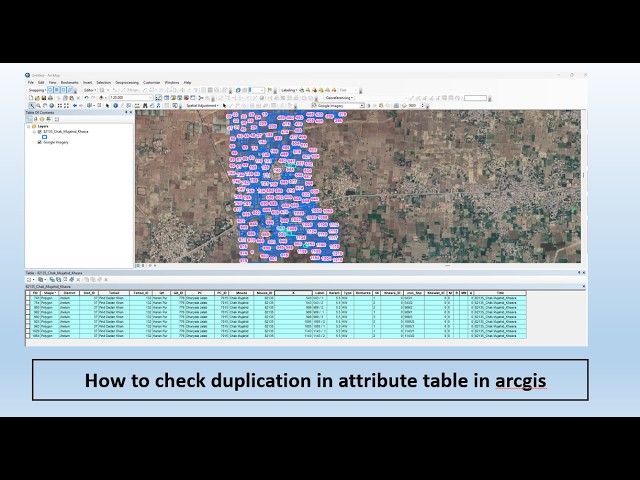
Clean data = Accurate Analysis ✓ On this channel GIS & RS Professionals, we focus on practical GIS tutorials including ArcGIS, ...
Learn how to join ACS Census data to existing features using Census Studio for ArcGIS Pro.


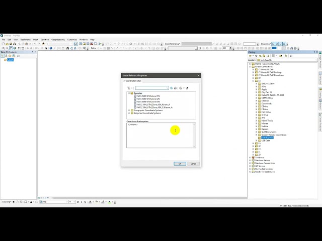


![How to Georeference an Image in ArcMap PRO | ArcGIS Pro Step-by-Step Tutorial[EPISODES-8]@GISRS-1](/api/proxy/image?url=https%3A%2F%2Fi.ytimg.com%2Fvi%2FDMYEJJ-m5ZI%2Fsddefault.jpg)