ViewTube

ViewTube
Sign inSign upSubscriptions
Filters

Upload date

Type

Duration

Sort by

Features

Reset

740 results

Geojay GIS Solution
How to calculate the total length of Rivers in a Watershed in ArcGIS

ArcGIS #WatershedAnalysis #RiverLength #GIS #SpatialAnalysis #Hydrology #GeographicInformationSystems In this video, we ...

8:07
How to calculate the total length of Rivers in a Watershed in ArcGIS

53 views

6 days ago

Matt Forrest
Stop Learning New GIS Tools. (Master These 4 Instead)

Forget trying to learn every single tool in the modern GIS stack. It's a trap. The geospatial industry is exploding with new software, ...

12:18
Stop Learning New GIS Tools. (Master These 4 Instead)

1,827 views

6 days ago

Geojay GIS Solution
How to Delineate Specific Watershed in ArcGIS Watershed Delineation

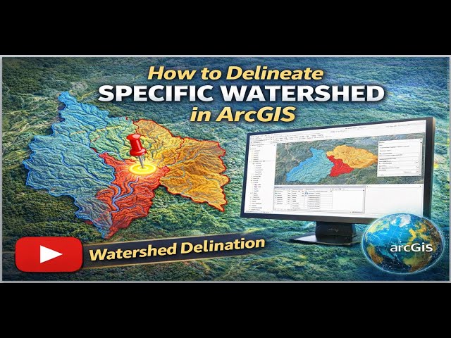
WatershedDelineation #ArcGIS #GIS #Hydrology #WatershedManagement #GeospatialAnalysis #EnvironmentalScience In this ...

13:07
How to Delineate Specific Watershed in ArcGIS Watershed Delineation

52 views

7 days ago

Skynek Mapping
How to Create and Export Maps in ArcMap | GIS Tutorial

Create & Export Maps Using ArcMap Design professional maps and export them in high quality from ArcMap—essential for drone ...

3:09
How to Create and Export Maps in ArcMap | GIS Tutorial

32 views

7 days ago

CivilGEO, Inc.
Building Large Multi Reach HEC RAS Models from GIS Data | CivilGEO

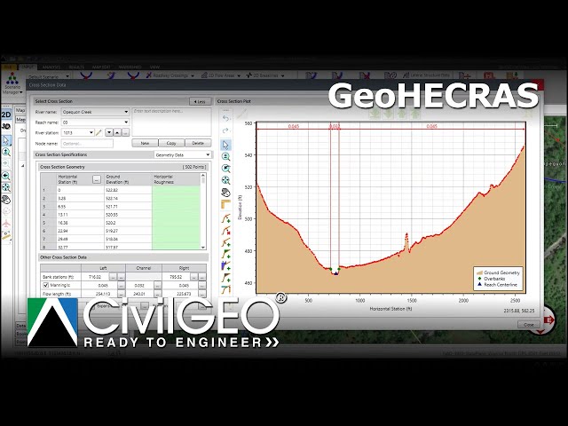
Learn how to efficiently build large, multi-reach HEC-RAS models in GeoHECRAS using existing GIS data. This tutorial covers ...

6:36
Building Large Multi Reach HEC RAS Models from GIS Data | CivilGEO

15 views

5 days ago

Study Hacks-Institute of GIS & Remote Sensing
How to Make Map Layout in GIS || Map Layout in ArcMap || Create Map Layout in GIS
10:38
How to Make Map Layout in GIS || Map Layout in ArcMap || Create Map Layout in GIS

0 views

0

Full Time GIS
Slope and Aspect Analysis in ArcGIS | DEM Slope Aspect GIS Tutorial

Slope and aspect analysis in ArcGIS using DEM explained step by step. This GIS tutorial covers DEM slope analysis and aspect ...

1:12
Slope and Aspect Analysis in ArcGIS | DEM Slope Aspect GIS Tutorial

3 views

6 days ago

GeoCortex AI and Consulting
Professional Map Making in QGIS | Real-World GIS Workflow Explained#qgis #gis #mapdesign#geospatial

How do GIS professionals turn raw spatial data into publish-ready maps? In this video, we walk through a complete QGIS project ...

3:16
Professional Map Making in QGIS | Real-World GIS Workflow Explained#qgis #gis #mapdesign#geospatial

12 views

6 days ago

GIS & RS Solution
Google Earth Engine Tutorial 15: Calculate Normalized Difference Water Index (NDWI)

NDWI is widely used for: Mapping surface water bodies, water resources management Monitoring floods and droughts ...

14:38
Google Earth Engine Tutorial 15: Calculate Normalized Difference Water Index (NDWI)

751 views

4 days ago

Felt
Best Mapping Software | Best mapping software reviewed: ArcGIS, Mapbox, Maptiv and Felt compared

Choosing the best mapping software depends on your needs, budget, and technical requirements. In this review, we compare ...

9:11
Best Mapping Software | Best mapping software reviewed: ArcGIS, Mapbox, Maptiv and Felt compared

200 views

6 days ago

RS & GIS
How to Download and Install QGIS 2026 | Step-by-Step Tutorial for Beginners | The Latest Release

In this complete beginner-friendly tutorial, learn how to download and install the latest version of QGIS (2026), the powerful free ...

5:31
How to Download and Install QGIS 2026 | Step-by-Step Tutorial for Beginners | The Latest Release

297 views

7 days ago

Skynek Mapping
Convert SHP to DWG Using ArcMap | GIS to CAD Tutorial

SHP to DWG Conversion in ArcMap Convert shapefiles (SHP) to AutoCAD DWG format directly in ArcMap—perfect for geospatial ...

5:15
Convert SHP to DWG Using ArcMap | GIS to CAD Tutorial

29 views

6 days ago

The Geo Mapping
ArcGIS Buffer, Fishnet Grid & Point Creation with Interactive Map Layout (Step-by-Step Guide)

In this complete step-by-step GIS tutorial, you will learn how to create buffer zones, generate grids (fishnet), and prepare point ...

20:04
ArcGIS Buffer, Fishnet Grid & Point Creation with Interactive Map Layout (Step-by-Step Guide)

31 views

7 days ago

GeoCortex AI and Consulting
GeoServer Tutorial Part 1 | Introduction to GeoServer & OGC Web Services#geoserver #webgis #ogc #gis

How do GIS professionals publish spatial data as live, interactive maps on the web? In Part 1 of this GeoServer tutorial series, we ...

5:29
GeoServer Tutorial Part 1 | Introduction to GeoServer & OGC Web Services#geoserver #webgis #ogc #gis

13 views

5 days ago

Geojay GIS Solution
How to Change Model Name In ArcGIS Pro: Edit Model in ArcGIS

... ArcGIS, GIS Tutorial, Model Builder, Geospatial Analysis, Editing Models, Data Management, Geographic Information Systems, ...

3:08
How to Change Model Name In ArcGIS Pro: Edit Model in ArcGIS

18 views

2 days ago

GeoSkill Pro
Complete QGIS Tutorial For Beginners (2026) #qgis #qgistutorial

Want to learn QGIS from absolute scratch? This complete beginner-friendly QGIS tutorial will take you step-by-step from zero to ...

1:51:32
Complete QGIS Tutorial For Beginners (2026) #qgis #qgistutorial

30 views

5 days ago

Peter Schneider
Gis: Getting projection name from CRS object with PyProj

Getting projection name from CRS object with PyProj I hope you found a solution that worked for you :) The Content is licensed ...

3:26
Gis: Getting projection name from CRS object with PyProj

0 views

6 days ago

Geojay GIS Solution
How to Export Feature Class to Geodatabase Feature Class in ArcGIS Pro

Don't forget to like, subscribe, and click the notification bell for more useful GIS tutorials and tips! Buy me a coffee here: ...

4:53
How to Export Feature Class to Geodatabase Feature Class in ArcGIS Pro

21 views

7 days ago

Sophia Wagner
Gis: GDAL DEMProcessing returning -9999 values

GDAL DEMProcessing returning -9999 values Hey guys! Hopefully you found a solution that helped you! The Content is licensed ...

2:42
Gis: GDAL DEMProcessing returning -9999 values

0 views

7 days ago

GIS Developer
GIS Web Mapping: The BEST Way To Display GeoJSON Point Data | react leaflet

In this tutorial, you'll learn how to display GeoJSON point data on a web map using Leaflet — a core skill for anyone working in ...

42:19
GIS Web Mapping: The BEST Way To Display GeoJSON Point Data | react leaflet

0 views

6 days ago