Upload date
All time
Last hour
Today
This week
This month
This year
Type
All
Video
Channel
Playlist
Movie
Duration
Short (< 4 minutes)
Medium (4-20 minutes)
Long (> 20 minutes)
Sort by
Relevance
Rating
View count
Features
HD
Subtitles/CC
Creative Commons
3D
Live
4K
360°
VR180
HDR
11,322,082 results
By watching this video you can lern How to set Geolocation in Autocad topogrphy sheet,how can you compare Actual Land ...
112,835 views
10 years ago
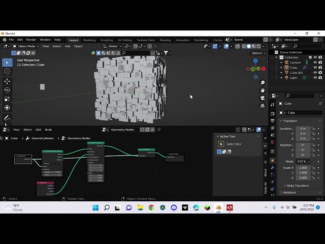
shorts Learn the basics of distribute points on faces using geometry nodes.
9,029 views
3 years ago
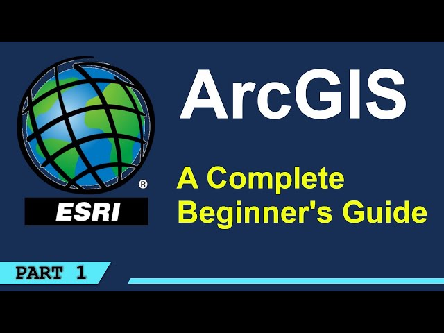
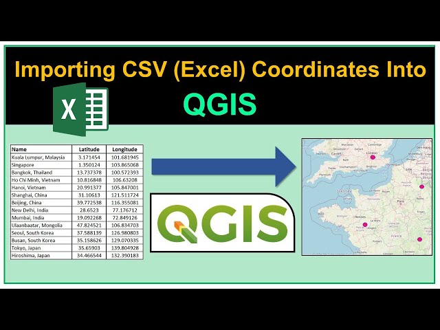
Ready to go beyond tutorials and learn QGIS properly? Explore the *QGIS Masterclass* with structured lessons and practical ...
1,384,361 views
5 years ago
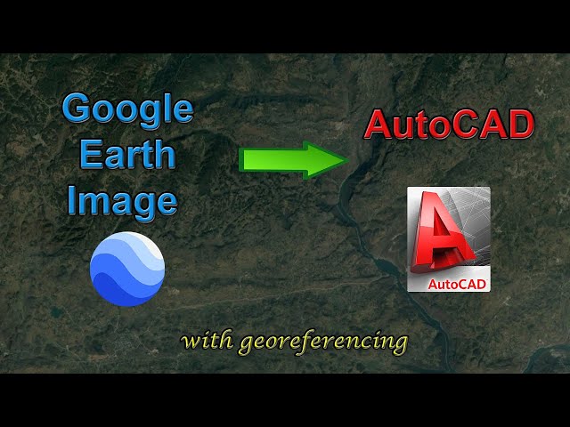
In this video, you will learn how to add a high-resolution image from Google Earth to AutoCAD, and how to georeference the ...
271,369 views
Download your 'Longitude and Latitude Teacher Resource Pack' https://clickv.ie/w/Kvdx Discover more videos on ClickView: ...
127,724 views
2 years ago
Blender tutorial showing how to use Geometry Nodes to create sugar coated candy. Part 2: https://youtu.be/V10GBrmYIDM 0:00 ...
924,214 views
Explore practical geospatial and GIS skills with courses and resources from GeoDelta Labs: https://www.geodeltalabs.com ...
1,965,819 views
In this video the characteristics of the earth such as its dimensions, shape, hemispheres and movements are summarized.
186,165 views
4 years ago
Explore practical geospatial and GIS skills with courses and resources from GeoDelta Labs: https://www.geodeltalabs.com This ...
219,737 views
Local communities possess expert knowledge of their environment which can be represented on a map. Google Earth can be ...
1,077 views
224,244 views
Rivers become curvier and curvier until they bump into themselves. Then, lakes follow the route of least resistance and connect to ...
45,941,082 views
Website Speed Optimization for SEO using Pagespeed Insights Built websites fast with AI, try out V0 https://v0.link/dylan If you ...
172,479 views
Animation of an important geometry theorem. #math #mathematics #maths #geometry Subscribe: ...
570,553 views
Speakers: You can also view this video on the Geo for Good Summit website atLearn techniques for visualizing your data in Earth ...
874 views
In this video we examine how to use a protractor to calculate the bearing of two points on an OS map. I explain how to use north ...
282,004 views
8 years ago
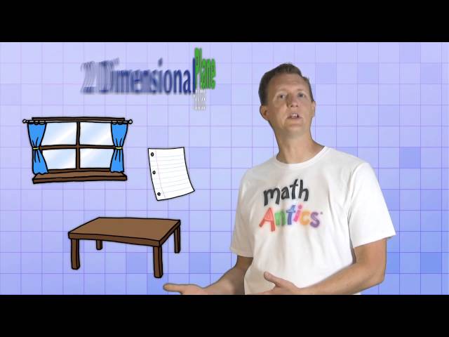
Learn More at mathantics.com Visit http://www.mathantics.com for more Free math videos and additional subscription based ...
2,572,991 views
12 years ago
760,299 views
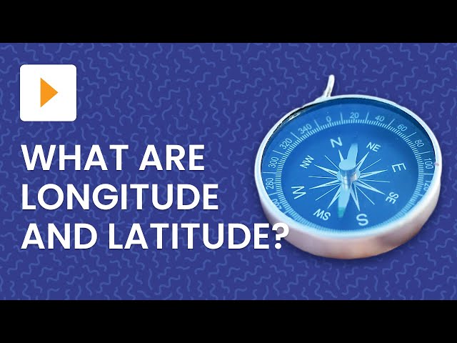
So you've seen those location-tagging numbers on maps and GPS devices before, but do you actually know what they mean?
860,572 views
9 years ago
485,306 views