Upload date
All time
Last hour
Today
This week
This month
This year
Type
All
Video
Channel
Playlist
Movie
Duration
Short (< 4 minutes)
Medium (4-20 minutes)
Long (> 20 minutes)
Sort by
Relevance
Rating
View count
Features
HD
Subtitles/CC
Creative Commons
3D
Live
4K
360°
VR180
HDR
11,255,464 results
By watching this video you can lern How to set Geolocation in Autocad topogrphy sheet,how can you compare Actual Land ...
113,129 views
10 years ago
If you haven't heard of it, GeoGuessr is basically competitive Google Maps. Participants try to guess where they are on the planet ...
5,356,740 views
3 years ago
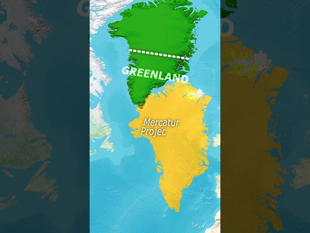
conquest #countries #greenland #strength #strategy #continent #power #demographics #maps #geographynow #CountryBalls ...
795,906 views
2 years ago
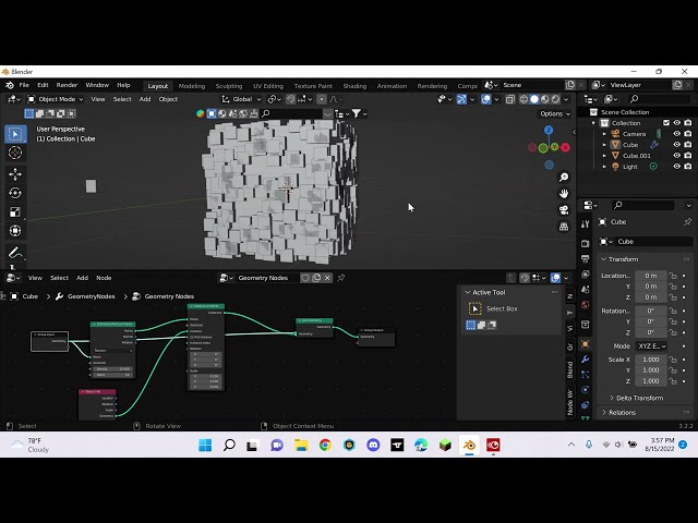
shorts Learn the basics of distribute points on faces using geometry nodes.
9,093 views
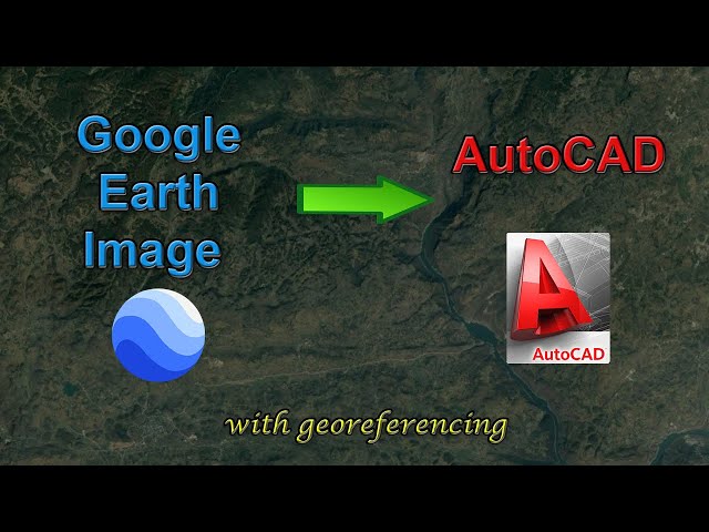
In this video, you will learn how to add a high-resolution image from Google Earth to AutoCAD, and how to georeference the ...
272,456 views
5 years ago
... at https://www.tutorialspoint.com/videotutorials/index.htm Lecture By: Mr. Anadi Sharma, Tutorials Point India Private Limited.
10,327 views
7 years ago
Tableau - Introduction To Maps Lecture By: Mr. Pavan Lalwani, Tutorials Point India Private Limited Get FLAT 10% on latest ...
167,546 views
8 years ago
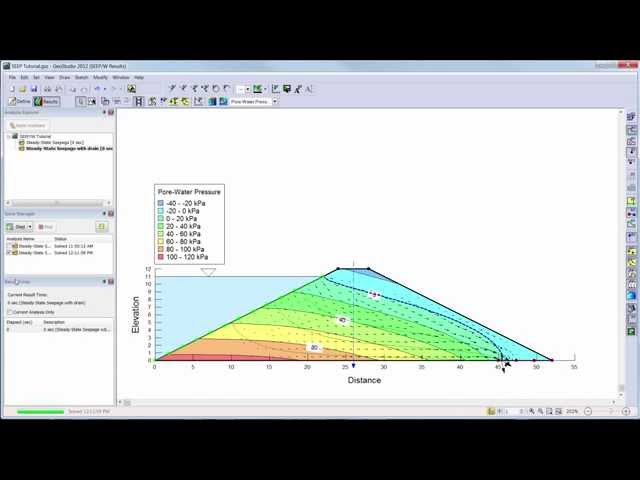
Learn the basics of SEEP/W 2012 with this introductory video.
185,234 views
11 years ago
Explore practical geospatial and GIS skills with courses and resources from GeoDelta Labs: https://www.geodeltalabs.com ...
1,968,813 views
I'm introducing my comprehensive course, in which I'll guide you step-by-step through the details of using GEO Layers: ...
800,775 views
How to draw World Map so fast #shorts #viral #world #ytshorts #trending all content which use in my video is fair use under ...
1,069,142 views
Rivers become curvier and curvier until they bump into themselves. Then, lakes follow the route of least resistance and connect to ...
45,953,395 views
In this video, you will learn how to plot a simple dataset which consists of longitude and latitude coordinates on a map using ...
133,223 views
4 years ago
This geography lesson for kids is one of my favorites, its really hands on and teaches them so much. I would love to see your ...
229,215 views
Comparison of the two Geospatial and Geographic Information Systems, ESRI's ARCGIS and the Open-Source Software QGIS.
50,146 views
Learn how to carry out a complete land survey using just your phone! No expensive tools. No total station. Just your mobile and ...
2,475 views
5 months ago
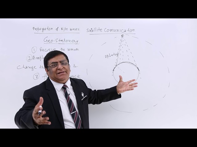
Satellite Communication Lecture By: Mr. Pradeep Kshetrapal, Tutorials Point India Private Limited.
83,686 views
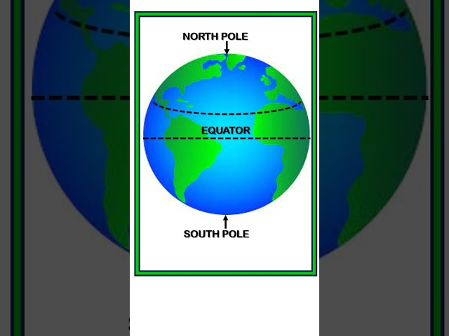
EARTH || EQUATOR || OUTER PART OF EARTH || GEOGRAPHIC EXPLANATION OF EARTH #shorts #shortvideo #viral ...
383,468 views
Animation of an important geometry theorem. #math #mathematics #maths #geometry Subscribe: ...
580,068 views
Here's how to make money with Google Maps and Google Reviews! Here is exactly how I plan to do this. You should do it too!
170,935 views