Upload date
All time
Last hour
Today
This week
This month
This year
Type
All
Video
Channel
Playlist
Movie
Duration
Short (< 4 minutes)
Medium (4-20 minutes)
Long (> 20 minutes)
Sort by
Relevance
Rating
View count
Features
HD
Subtitles/CC
Creative Commons
3D
Live
4K
360°
VR180
HDR
1,175,943 results
Ready to move beyond desktop GIS? Step into the Spatial Lab: a global community for ambitious geospatial professionals who ...
179,266 views
3 years ago
What is GIS? https://gisgeography.com/what-is-gis/ US Maps - https://usmaps.com/ Esri Mapping Software - https://www.esri.com/ ...
271,967 views
2 years ago
Learn QGIS and Modern GIS in the Spatial Lab ➡️ https://forrest.nyc/spatial-lab/ ⬅️ Get ready to learn QGIS with this complete ...
536,124 views
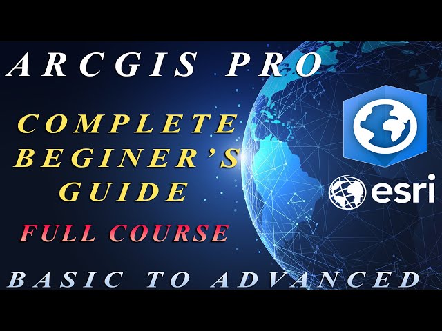
Ready to Master ArcGIS Pro? This ArcGIS Pro Tutorial is your Complete GIS Tutorial – 37 lessons in one awesome video!
73,880 views
11 months ago
What is Remote Sensing? Let's understand the term in detail. #RemoteSensing #gis #geospatial #space.
457,907 views
7 years ago
118,373 views
... be focused on looking at the basics of remote sensing this part should all be a review from an introductory GIS class there might ...
53,600 views
5 years ago
Learn GeoPandas and Modern GIS by joining the Spatial Lab ➡️ https://forrest.nyc/spatial-lab/ ⬅️ Looking to dive into ...
76,032 views
1 year ago
Learn what spatial analysis means in GIS and mapping. Discover how geographic data, remote sensing, and spatial relationships ...
11,848 views
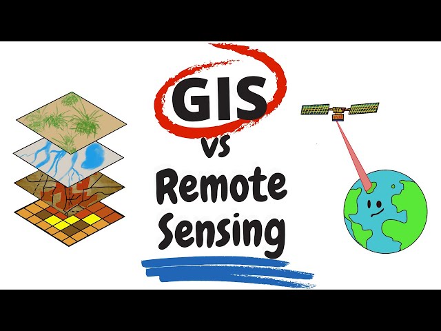
"Remote Sensing vs GIS" is something that everyone in the spatial science realm had pondered about at some point in their life.
155,511 views
Photogrammetry is revolutionizing the way we capture and analyze spatial data! In this video, we break down the basics of ...
16,256 views
This is an introductory course that covers QGIS from the very basics. You will learn to use QGIS for mapping, spatial data ...
167,977 views
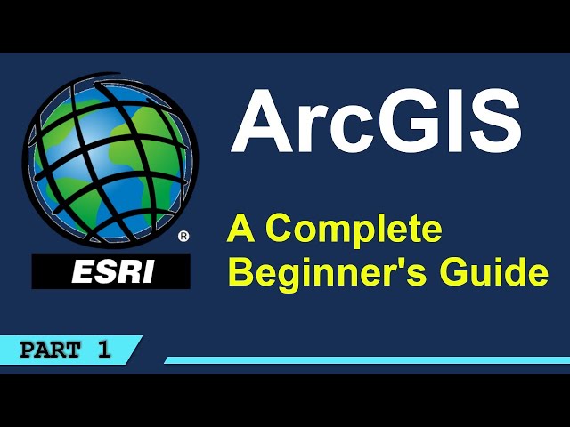
This video that titled ArcGIS Pro Complete Beginner's Tutorial - ArcGIS Pro Full Course, you can learn ARCGIS PRO from Basic to ...
121,817 views
Georeferencing is the process of associating geographic coordinates with a digital image or map. This enables the image or map ...
77,164 views
155,108 views
Make an ESRI Shape file using Google Earth and QGIS #tutorial #gis #qgis #googleearth #tutorialyoutube #gistutorial.
185,951 views
Geospatial Information Systems (GIS) is a unique problem-solving technology with remarkable impact. In this video, visionary ...
144,883 views
Explore practical geospatial and GIS skills with courses and resources from GeoDelta Labs: https://www.geodeltalabs.com ...
1,954,936 views
Let us help you with all your tech support needs! Contact us at +1-845-454-2027 or [ netEffx.com ] Tags w/hash: #tech #pc ...
20,777 views
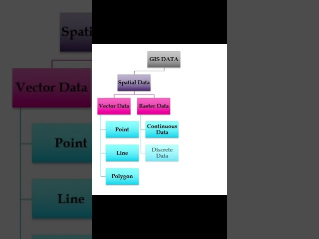
Learn about the diverse formats and structures used to represent spatial information, empowering you to make sense of ...
51,183 views
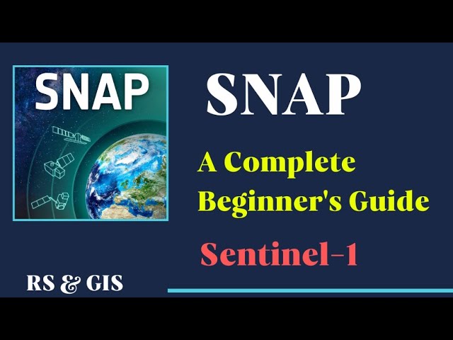
This video is a complete tutorial in which you learn basic and applicable topics in the SNAP software which is one of the powerful ...
77,827 views
4 years ago
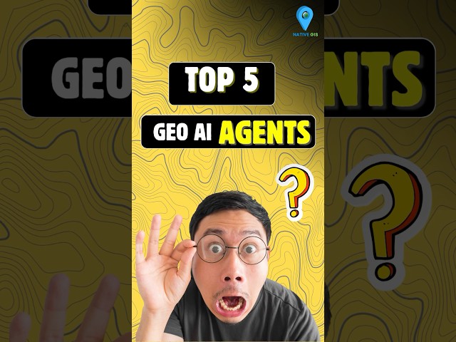
GeoAI is no longer the future—it's here, transforming how we understand our planet. Discover the 5 cutting-edge AI agents that ...
12,732 views
7 months ago
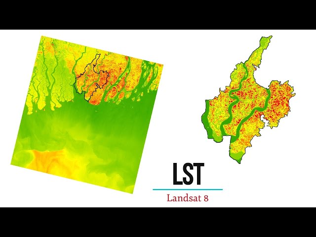
In this tutorial you will learn how to calculate Land Surface Temperature of LANDSAT 8 Image using ArcGIS. If you like this video, ...
153,161 views
All of us are consuming location-based services directly or indirectly. Do you know, all these services are baked up by GIS ...
463,244 views
ArcGIS, the location-based intelligence digital mapping software for managing and turning powerful Earth observations into ...
36,208 views