Upload date
All time
Last hour
Today
This week
This month
This year
Type
All
Video
Channel
Playlist
Movie
Duration
Short (< 4 minutes)
Medium (4-20 minutes)
Long (> 20 minutes)
Sort by
Relevance
Rating
View count
Features
HD
Subtitles/CC
Creative Commons
3D
Live
4K
360°
VR180
HDR
2,383 results
This video is a very basic look at QGIS for Absolute Beginners. At times it is really fast ( I mean it, it is wicked fast), and you will ...
838,173 views
6 years ago
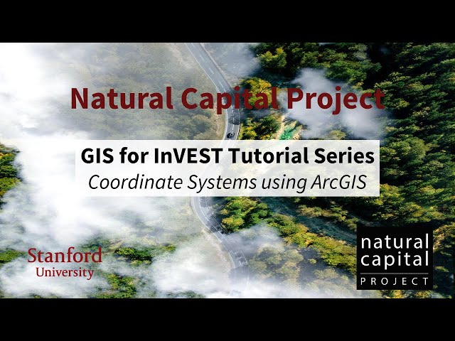
Stacie Wolny, GIS Analyst with the Natural Capital Project provides an overview of coordinate systems and projection using ...
1,769 views
4 years ago
IHE Delft has launched a new platform for sharing GIS OpenCourseWare. It's 100% Open Source: it runs on Moodle and the ...
22,562 views
5 years ago
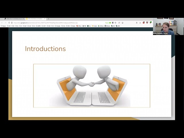
Curious about mapping and geographic information systems (GIS)? So are we! Hosted by the Texas Digital Library GIS Interest ...
40 views
3 years ago
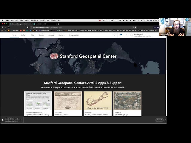
A production of the Stanford Geospatial Center, The Stanford Maps Library and The Branner Earth Sciences Library.
6,479 views
Swipe tool lets you make a top layer transparent to see what's underneath it. Great for satellite imagery or UAV data. Try it yourself: ...
437 views
7 years ago
Hello everybody. Welcome to my course. I will try to help you create your first map using a combination of software and skills.
2,526 views
9 years ago
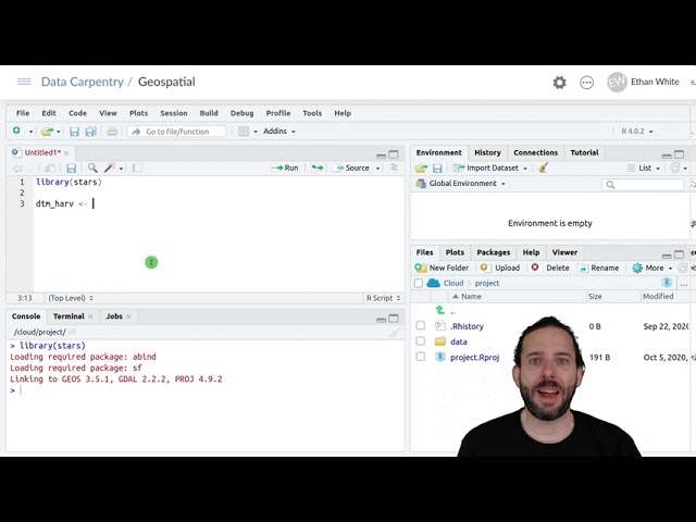
Data: https://datacarpentry.org/semester-biology/data/neon-geospatial-data.zip Full lessons (including multiple videos and ...
25,723 views
Join us on an open source GIS journey from scratch to performing a simple correlative ecological analysis using observational ...
258 views
Stacie Wolny, GIS Analyst with the Natural Capital Project provides an overview of vector basics using ArcGIS. GIS for InVEST ...
1,458 views
Stacie Wolny, GIS Analyst with the Natural Capital Project provides an overview of rasters, raster properties, and symbology using ...
5,878 views
businessintelligence #dataanalysis #dashboard #winforms This video demonstrates how to: 1. Use an online map on the ...
409 views
This 90-minute session will provide a brief introduction to geographic information systems (GIS) and ArcGIS Online. It will show ...
99 views
Stacie Wolny, GIS Analyst with the Natural Capital Project provides an overview of coordinate systems and projection using QGIS.
1,720 views
This video Introduces the Jefferson Community and Technical College, GIS Data Analysis class (CIT 225). In this video Professor ...
188 views
8 years ago
Learning objectives for this session * Understand how to create maps in the GIS app * Understand how to create custom legend ...
7,279 views
viral #tutorial #googleearth #topographicmap #download #gis #data #map A topographic map is a detailed and accurate ...
2,126 views
1 year ago
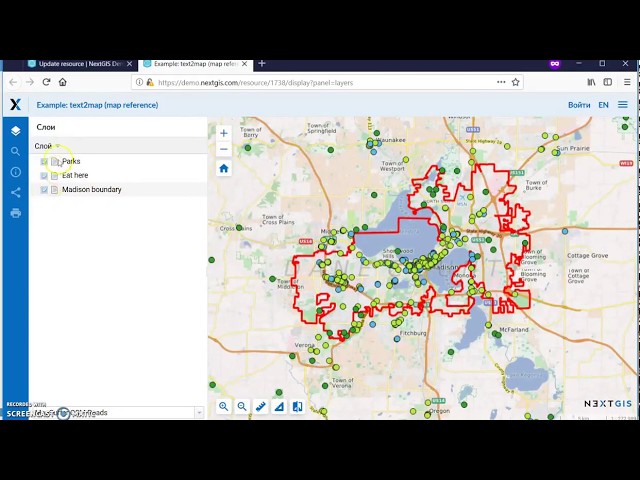
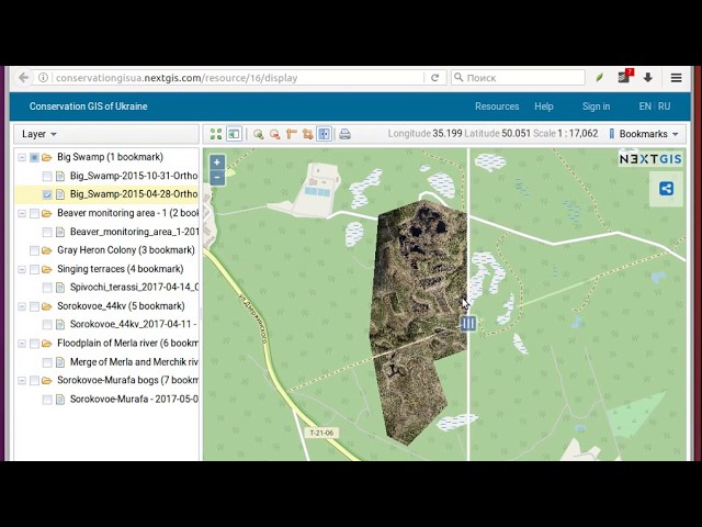
Update style of your Web map in seconds with NextGIS Connect for QGIS. Sign-up for NextGIS Platform for interactive maps, data ...
1,020 views
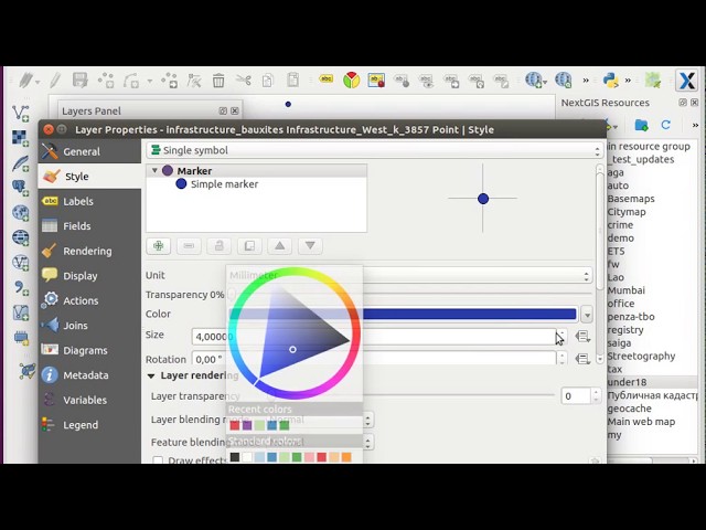
Download NextGIS QGIS: https://nextgis.com/nextgis-qgis?utm_source=nextgis&utm_medium=youtube&utm_campaign=en ...
1,811 views
Geospatial Education at Penn State. For more information go to www.pennstategis.com or https://gis.e-education.psu.edu/
717 views


![WinForms Dashboard Tool: using GIS (Geographic Information System) on Bing Online Map in app [2020]](/api/proxy/image?url=https%3A%2F%2Fi.ytimg.com%2Fvi%2FS95LzoaF3nU%2Fsddefault.jpg)