Upload date
All time
Last hour
Today
This week
This month
This year
Type
All
Video
Channel
Playlist
Movie
Duration
Short (< 4 minutes)
Medium (4-20 minutes)
Long (> 20 minutes)
Sort by
Relevance
Rating
View count
Features
HD
Subtitles/CC
Creative Commons
3D
Live
4K
360°
VR180
HDR
179,786 results
Learn QGIS and Modern GIS in the Spatial Lab ➡️ https://forrest.nyc/spatial-lab/ ⬅️ Get ready to learn QGIS with this complete ...
516,221 views
2 years ago
Geospatial Information Systems (GIS) is a unique problem-solving technology with remarkable impact. In this video, visionary ...
139,282 views
1 year ago
This video is a very basic look at QGIS for Absolute Beginners. At times it is really fast ( I mean it, it is wicked fast), and you will ...
838,173 views
6 years ago
For many GIS professionals, SQL and databases can feel intimidating. They seem like tools for data engineers, not map makers.
9,859 views
5 months ago
Ready to move beyond desktop GIS? Step into the Spatial Lab: a global community for ambitious geospatial professionals who ...
71,065 views
In the subject of Geographic Information Systems (GIS), the vector and raster formats are two ways of representing real-world ...
34,505 views
6,835 views
4 months ago
Learn GeoPandas and Modern GIS by joining the Spatial Lab ➡️ https://forrest.nyc/spatial-lab/ ⬅️ Looking to dive into ...
72,523 views
ArcGIS Pro has been the center of GIS workflows for decades but how does it hold up in a world moving toward open, cloud-native ...
3,950 views
2 months ago
This tutorial will show you how to import a DEM image into the ArcGis software. Please subscribe, like, and comment. احصل على ...
37,691 views
28,596 views
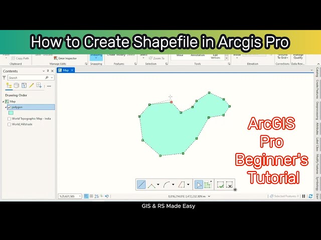
gis #arcgis #arcgistutorial #tutorialforbeginners How to Create Shapefile in ArcGIS Pro | ArcGIS Pro Tutorial for Beginners ...
17,398 views
Explore the possibilities of mapping in ArcGIS Online. This video shows you how to get started with creating a map in Map Viewer.
97,454 views
3 years ago
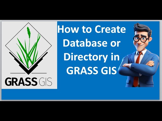
Buy me a coffee: https://buymeacoffee.com/geojay GRASS GIS, database creation, GIS tutorial, geographic information system, ...
243 views
6 months ago
Learn how to assign a coordinate system in ArcGIS for AutoCAD. Follow us on Social Media! Twitter: https://twitter.com/Esri ...
17,748 views
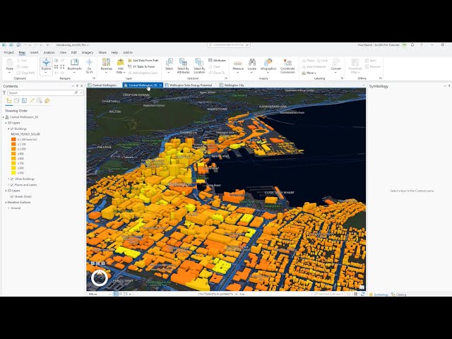
In this tutorial, you'll explore the main components of the ArcGIS Pro user interface—the ribbon, views, and panes. Follow the ...
126,376 views
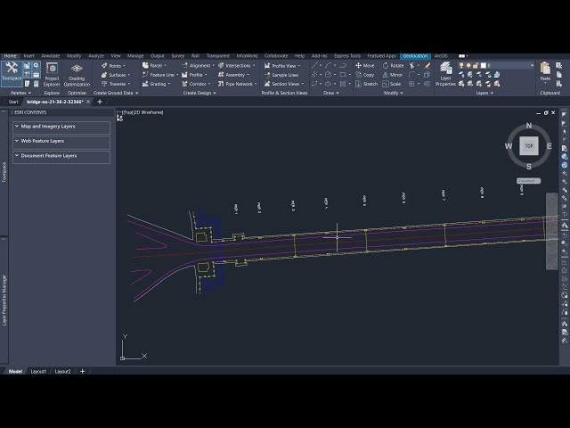
In architecture, engineering, and construction, location is everything. Every project begins with a place. To understand that place, ...
2,703 views
Welcome to our comprehensive beginner's tutorial on ArcGIS! In this video, we'll walk you through the fundamentals of ...
13,483 views
See how to make a layout in ArcGIS Pro. You'll also see how to add guides to a layout, add an overview map and extent indicator, ...
266,586 views
In this video from Esri UC 2025, Jess Altamira and Caitlin Marin demonstrate three new deep learning tools in ArcGIS that ...
11,732 views