Upload date
All time
Last hour
Today
This week
This month
This year
Type
All
Video
Channel
Playlist
Movie
Duration
Short (< 4 minutes)
Medium (4-20 minutes)
Long (> 20 minutes)
Sort by
Relevance
Rating
View count
Features
HD
Subtitles/CC
Creative Commons
3D
Live
4K
360°
VR180
HDR
6,571 results
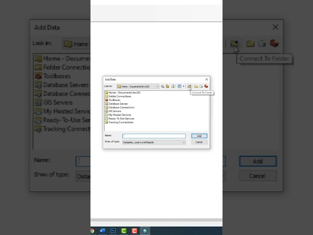
This tutorial will show you how to import a DEM image into the ArcGis software. Please subscribe, like, and comment. احصل على ...
40,335 views
3 years ago
Learn QGIS and Modern GIS in the Spatial Lab ➡️ https://forrest.nyc/spatial-lab/ ⬅️ Get ready to learn QGIS with this complete ...
536,450 views
2 years ago
Explore the possibilities of mapping in ArcGIS Online. This video shows you how to get started with creating a map in Map Viewer.
98,747 views
Esri instructor Travis Ormsby talks through the process of creating Python scripts in ArcGIS Pro. By using the Copy Python ...
41,744 views
4 years ago
ArcGIS Online: https://www.arcgis.com/index.html Note for this lab you will need the link provided in the course material. Thanks ...
1,285 views
5 years ago
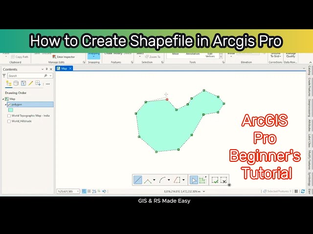
gis #arcgis #arcgistutorial #tutorialforbeginners How to Create Shapefile in ArcGIS Pro | ArcGIS Pro Tutorial for Beginners ...
18,246 views
1 year ago
Ready to move beyond desktop GIS? Step into the Spatial Lab: a global community for ambitious geospatial professionals who ...
72,884 views
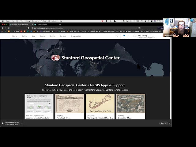
A production of the Stanford Geospatial Center, The Stanford Maps Library and The Branner Earth Sciences Library.
6,627 views
Welcome to our comprehensive beginner's tutorial on ArcGIS! In this video, we'll walk you through the fundamentals of ...
13,662 views
In the subject of Geographic Information Systems (GIS), the vector and raster formats are two ways of representing real-world ...
37,346 views
Learn how to assign a coordinate system in ArcGIS for AutoCAD. Follow us on Social Media! Twitter: https://twitter.com/Esri ...
18,020 views
Create a Personal Geodatabase in Arcmap 10.5 for exporting and importing data for example shapefile etc A geodatabase is an ...
20,404 views
In GIS, to clip is to overlay a polygon on one or more target features (layers) and extract from the target feature (or features) only ...
97,219 views
Discover the benefits of ArcGIS Online and find out how to get started. For more information, please visit: ...
67,133 views
This tutorial will familiarize ArcMap beginners how to use ArcMap 10. Topics include opening projects, the organization of the data ...
301,507 views
14 years ago
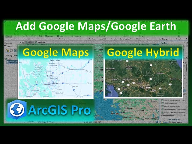
arcgis #googlemaps #arcgispro #googleearth In this step-by-step tutorial, you'll learn how to easily add Google Maps, Google ...
1,630 views
4 months ago
In this video from Esri UC 2025, Jess Altamira and Caitlin Marin demonstrate three new deep learning tools in ArcGIS that ...
12,316 views
6 months ago
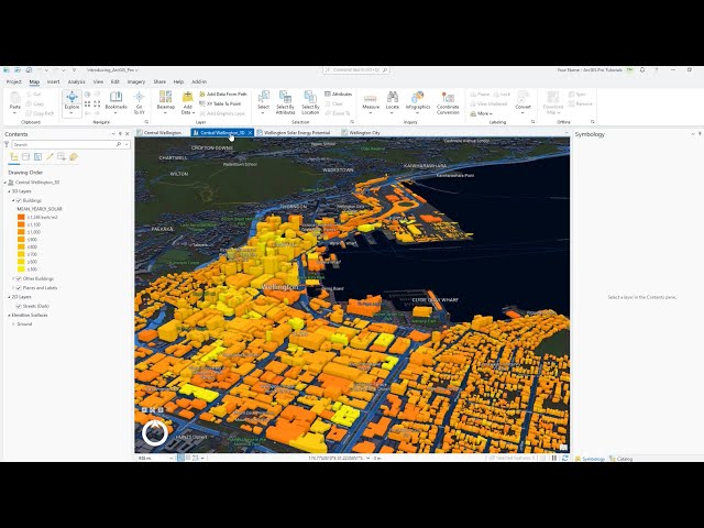
In this tutorial, you'll explore the main components of the ArcGIS Pro user interface—the ribbon, views, and panes. Follow the ...
133,466 views
ArcGIS Pro 3.3 introduced an exciting new tool to help you model and visualize water flow and accumulation in your 3D scenes.
19,201 views
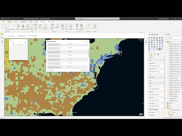
Learn how mapping location data with ArcGIS for Power BI adds depth and perspective to your Power BI reports. Discover new ...
81,019 views