Upload date
All time
Last hour
Today
This week
This month
This year
Type
All
Video
Channel
Playlist
Movie
Duration
Short (< 4 minutes)
Medium (4-20 minutes)
Long (> 20 minutes)
Sort by
Relevance
Rating
View count
Features
HD
Subtitles/CC
Creative Commons
3D
Live
4K
360°
VR180
HDR
181,854 results
Ready to move beyond desktop GIS? Step into the Spatial Lab: a global community for ambitious geospatial professionals who ...
15,241 views
1 year ago
For many GIS professionals, SQL and databases can feel intimidating. They seem like tools for data engineers, not map makers.
11,199 views
6 months ago
In the subject of Geographic Information Systems (GIS), the vector and raster formats are two ways of representing real-world ...
37,901 views
You can support this channel in a few different ways: Learn more and earn certificates in GIS, spatial data science, and data ...
76,708 views
This video provides an overview of why INSPIRE was needed and what types of spatial data are covered by INSPIRE. url: ...
89,051 views
10 years ago
Introduction to Oracle Big Data Spatial and Graph Find out more: 1. Oracle Big Data Spatial and Graph on Oracle.com: ...
5,899 views
5,878 views
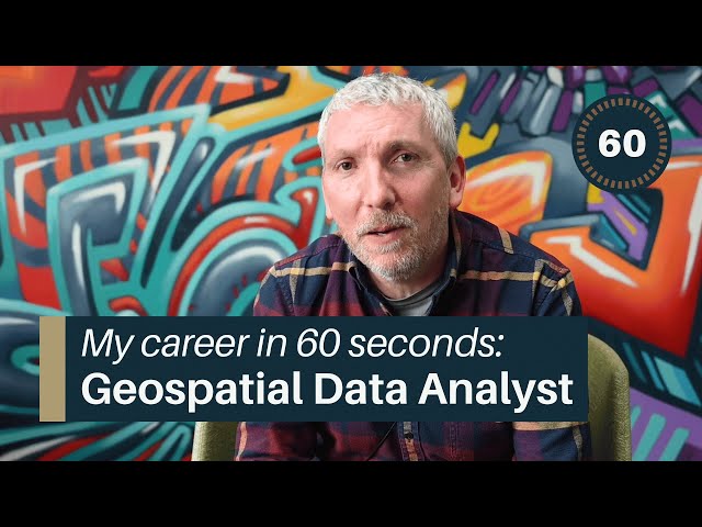
Clive started out with BGS as a cartographer creating geological maps of the country. Today, he works as a Geospatial data ...
4,255 views
2 years ago
Geospatial Information Systems (GIS) is a unique problem-solving technology with remarkable impact. In this video, visionary ...
145,985 views
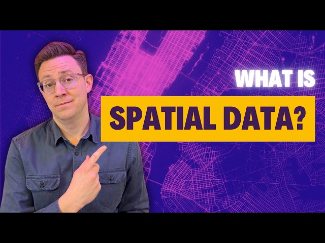
Find out what makes geospatial data unique from other types of data.
903 views
3 years ago
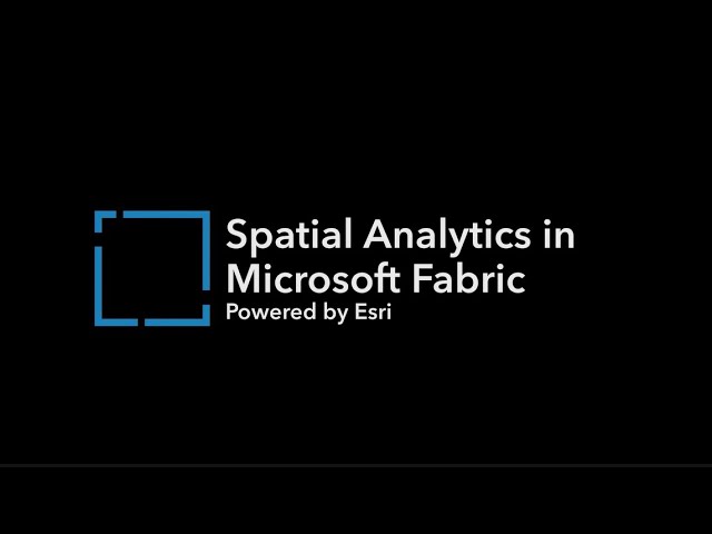
Esri and Microsoft have joined forces to transform decision-making by integrating spatial insights into Microsoft Fabric.
3,740 views
Learn search tips and general resources for finding your own spatial data.
265 views
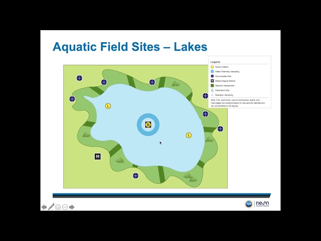
This video provides a detailed overview of how NEON spatial design and where you can access geospatial data. For more ...
379 views
5 years ago
Located in the basement of the Edmon Low Library, Maps & Spatial Data maintains a collection of more than 150000 sheet maps, ...
1,019 views
8 years ago
Dr. Thomas Groen talks about spatial autocorrelation, what it is, the importance and why it should be applied in geo-information ...
9,177 views
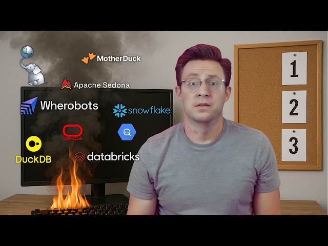
Learn Apache Sedona and Geospatial Data Engineering by joining the Spatial Lab ➡️ https://forrest.nyc/spatial-lab/ ⬅️ Add ...
6,303 views
9 months ago
And now let's talk about arranging spatial datasets. There are many things in common between spatial data and tables, so a lot of ...
1,136 views
In this tutorial, learn how to use the Define Projection tool in ArcGIS Pro to replace missing coordinate system information.
9,185 views
Geospatial Education at Penn State. For more information go to www.pennstategis.com or https://gis.e-education.psu.edu/
261 views
https://gisgeography.com/best-free-gis-data-sources-raster-vector/ Nothing beats free. Especially, when it comes to GIS data.
3,439 views