ViewTube

ViewTube
Sign inSign upSubscriptions
Filters

Upload date

Type

Duration

Sort by

Features

Reset

616 results

Skynek Mapping
How to Create and Export Maps in ArcMap | GIS Tutorial

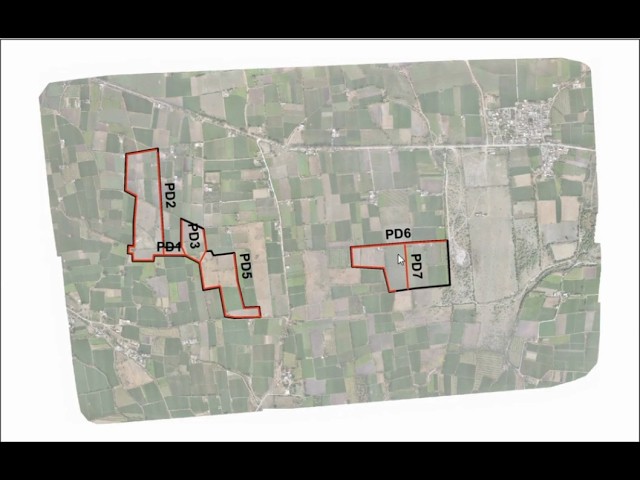
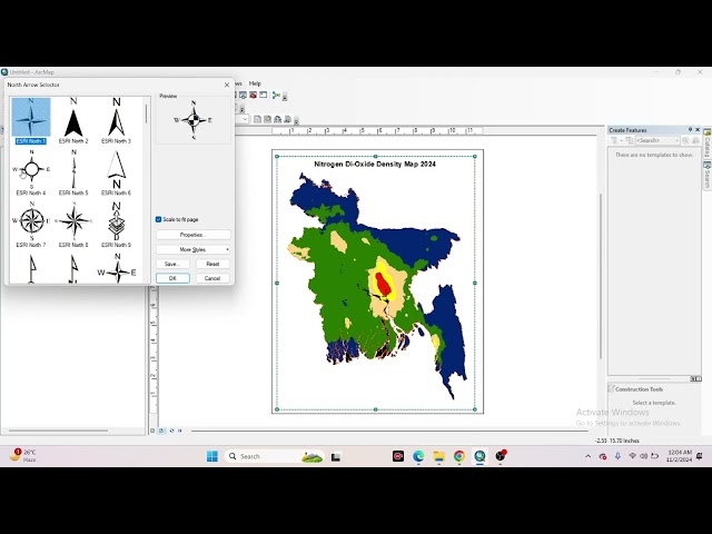
Create & Export Maps Using ArcMap Design professional maps and export them in high quality from ArcMap—essential for drone ...

3:09
How to Create and Export Maps in ArcMap | GIS Tutorial

47 views

3 weeks ago

Tech Miracurol
How to Add Basemap in ArcGIS | Step-by-Step Tutorial

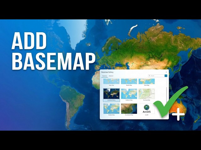
In this tutorial, you will learn how to add a basemap in ArcGIS step-by-step. Basemaps help provide background context such as ...

8:03
How to Add Basemap in ArcGIS | Step-by-Step Tutorial

27 views

3 weeks ago

Full Time GIS
Hillshade Analysis in ArcGIS | Create Hillshade from SRTM 30m DEM

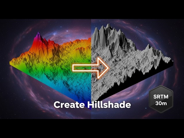
In this tutorial, we will learn how to create a Hillshade map from SRTM 30m DEM in ArcGIS Pro step-by-step. Hillshade is a terrain ...

1:20
Hillshade Analysis in ArcGIS | Create Hillshade from SRTM 30m DEM

9 views

2 weeks ago

GIS Solutions, LLC
ArcGIS Pro File Geodatabase Tutorial For Beginners

If you're still using shapefiles in ArcGIS Pro… you might be limiting your GIS projects without realizing it. In this beginner-friendly ...

5:26
ArcGIS Pro File Geodatabase Tutorial For Beginners

50 views

3 days ago

GIS Tutorial for Beginners
How to connect with a folder in ArcMap

arcgis #gis #arcgistutorial #gistutorial #tutorial.

0:18
How to connect with a folder in ArcMap

17 views

4 days ago

GIS & AI,GEOGRAPHY
How to Georeference an Image in ArcMap | Step-by-Step Tutorial I Episode 7  #arcgis @GISRS-1

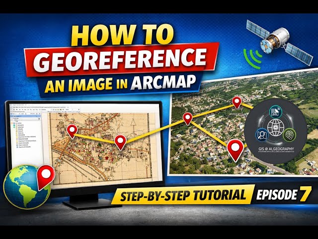
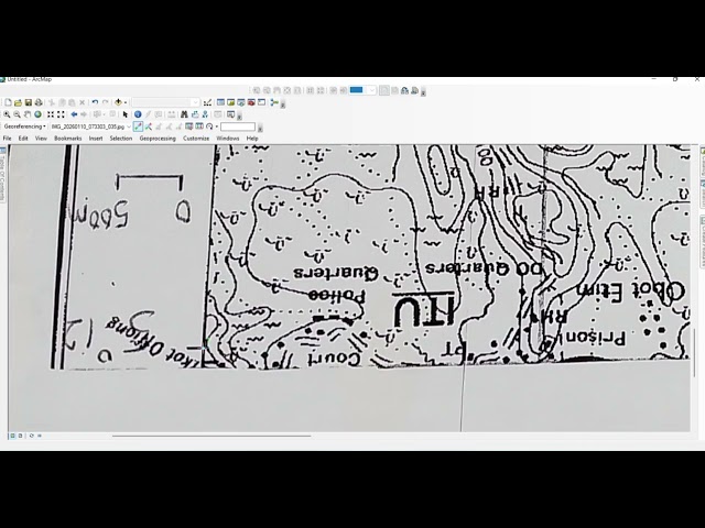
How to Georeference an Image in ArcMap | Step-by-Step Tutorial I Episode 7 In this tutorial, you will learn how to georeference an ...

7:28
How to Georeference an Image in ArcMap | Step-by-Step Tutorial I Episode 7 #arcgis @GISRS-1

167 views

3 weeks ago

Skynek Mapping
How to create shp file in ArcMap

Create professional shapefiles (SHP) in ArcMap for your drone mapping, GIS analysis, and survey projects with this easy ...

2:11
How to create shp file in ArcMap

52 views

1 month ago

Full Time GIS
Slope and Aspect Analysis in ArcGIS | DEM Slope Aspect GIS Tutorial

Slope and aspect analysis in ArcGIS using DEM explained step by step. This GIS tutorial covers DEM slope analysis and aspect ...

1:12
Slope and Aspect Analysis in ArcGIS | DEM Slope Aspect GIS Tutorial

4 views

3 weeks ago

Full Time GIS
Contour Generation from DEM in ArcGIS | Create Contour Lines from Raster in ArcGIS

In this tutorial,we will learn how to generate contour lines from a DEM (Digital Elevation Model) in ArcGIS Pro step-by-step.

3:08
Contour Generation from DEM in ArcGIS | Create Contour Lines from Raster in ArcGIS

21 views

2 weeks ago

Learn RS & GIS
ArcGIS Tutorial | How to Prepare Aspect Map in ArcGIS Software using DEM | Aspect Map

ArcGIS Tutorial | How to Prepare Aspect Map in ArcGIS Software using DEM | Aspect Map.

1:49
ArcGIS Tutorial | How to Prepare Aspect Map in ArcGIS Software using DEM | Aspect Map

14 views

12 days ago

GIS_withWr_khan
How to Georefrence a map in ArcGis/ArcMap using googlemap as refrence

This video is a practical, step-by-step guide on how to align non-spatial images—like a screenshot from Google Maps—with ...

10:57
How to Georefrence a map in ArcGis/ArcMap using googlemap as refrence

43 views

2 weeks ago

mosaic spatial solutions
How To Use The Clip Feature in ArcGIS | Geoprocessing Tool Tutorial

In this step-by-step tutorial, you'll learn how to use the Clip tool in ArcGIS through the Geoprocessing toolbox to extract specific ...

3:34
How To Use The Clip Feature in ArcGIS | Geoprocessing Tool Tutorial

69 views

2 weeks ago

Full Time GIS
Stream Network Extraction Using DEM in ArcGIS  Step by Step Tutorial

In this tutorial, you will learn Stream Network Extraction step by step using a Digital Elevation Model (DEM) in ArcGIS. We will ...

10:08
Stream Network Extraction Using DEM in ArcGIS Step by Step Tutorial

21 views

11 days ago

Geo_spatial world.
ArcGIS for Beginners Part 1: Adding Data

Don't forget to subscribe to the channel for more beginner-friendly GIS tutorials, and check out Part 2 where we'll explore data ...

5:14
ArcGIS for Beginners Part 1: Adding Data

49 views

2 weeks ago

Mapora
ArcMap Layout Design with Extent Indicator | Thesis & Assignment Maps | Mapora

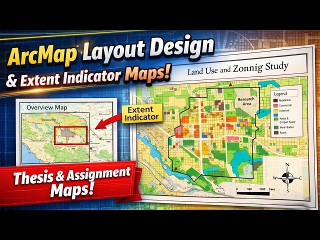
In this tutorial, I demonstrate how to create a professional GIS map layout in ArcMap with a special focus on using the Extent ...

7:19
ArcMap Layout Design with Extent Indicator | Thesis & Assignment Maps | Mapora

40 views

8 days ago

GIS & AI,GEOGRAPHY
Image-to-Image Georeferencing in ArcMap|Complete Step-by-Step Tutorial |Episode 8 #trending #google

Image-to-Image Georeferencing in ArcMap | Complete Step-by-Step Tutorial | Episode 8 #trending #google In this video, you will ...

11:05
Image-to-Image Georeferencing in ArcMap|Complete Step-by-Step Tutorial |Episode 8 #trending #google

232 views

3 weeks ago

Terra Spatial
How to Perform Hotspot Analysis in ArcGIS Pro

In this video, I'll walk you through Hot Spot Analysis (Getis-Ord Gi*) in ArcGIS Pro—from raw data to meaningful, publication-ready ...

16:17
How to Perform Hotspot Analysis in ArcGIS Pro

669 views

3 weeks ago

Study Hacks-Institute of GIS & Remote Sensing
How to Create a Map Layout in GIS | Map Layout in ArcMap | Create Map Layout in GIS Step-by-Step

Don't forget to hit the bell icon so you never miss a new GIS tutorial! #GIS #ArcMap #MapLayout #GISTutorial #Esri.

10:38
How to Create a Map Layout in GIS | Map Layout in ArcMap | Create Map Layout in GIS Step-by-Step

110 views

2 weeks ago

Tirtha Kshetri
How to Create Points Along Polygon in ArcGIS 10.8 | Step-by-Step for Beginners

How to Create Points Along Polygon in ArcGIS 10.8 | Step-by-Step for Beginners: In this tutorial, I demonstrate how to create ...

6:32
How to Create Points Along Polygon in ArcGIS 10.8 | Step-by-Step for Beginners

39 views

1 month ago

NGEOSPATIAL SOLUTION
How to Reposition an Overturned Scanned Map for Georeferencing in ArcGIS 2026

In this tutorial, you'll learn how to correctly reposition an overturned or upside-down scanned map in ArcGIS 2026 before ...

5:44
How to Reposition an Overturned Scanned Map for Georeferencing in ArcGIS 2026

37 views

2 weeks ago