ViewTube

ViewTube
Sign inSign upSubscriptions
Filters

Upload date

Type

Duration

Sort by

Features

Reset

8 results

AMK Channel
ArcGIS Myanmar Tutorial | Dam, River & Forest Map Creation in ArcMap (Points, Lines, Polygons)

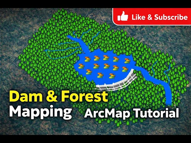
This video is an ArcGIS Myanmar tutorial designed for beginners who want to learn GIS step by step. In this ArcMap lesson, we ...

1:16:33
ArcGIS Myanmar Tutorial | Dam, River & Forest Map Creation in ArcMap (Points, Lines, Polygons)

5 views

10 hours ago

ROY GIS ACADEMY
Geo Referencing in ArcGIS | Step-by-Step Tutorial for Beginners | ROY GIS ACADEMY

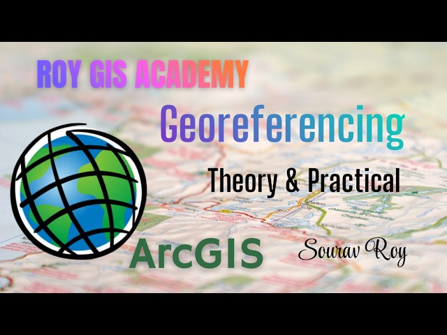
arcgistutorial #arcmap #arcgispro #arcgistutorial #arcmap #arcgispro Welcome to ROY GIS ACADEMY Learn Geo Referencing in ...

21:51
Geo Referencing in ArcGIS | Step-by-Step Tutorial for Beginners | ROY GIS ACADEMY

10 views

12 hours ago

Geomatics Engineer
Buffer vs Graphic Buffer in ArcGIS Pro | What’s the Real Difference?

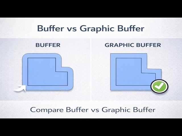
In this video, we explore the key differences between Buffer and Graphic Buffer in ArcGIS Pro, and why choosing the correct tool ...

5:10
Buffer vs Graphic Buffer in ArcGIS Pro | What’s the Real Difference?

31 views

21 hours ago

ROY GIS ACADEMY
NDVI, NDWI, NDBI, NDMI in ArcGIS

... WhatsApp 7477686527 Website https://sites.google.com/view/roygisa Subscribe to the channel for more ArcGIS GIS tutorial and ...

20:32
NDVI, NDWI, NDBI, NDMI in ArcGIS

6 views

14 hours ago

Shahriar GIS School - Learn GIS from Anywhere
🎉 Udemy $10 GIS Course Offer is Back – 1st to 5th March Only! 🎉

Udemy $10 GIS Course Offer is Back – 1st to 5th March Only! Learn Premium GIS Courses at Just $10 Each (Regular Price: ...

0:50
🎉 Udemy $10 GIS Course Offer is Back – 1st to 5th March Only! 🎉

5 views

15 hours ago

@EthioGIS-Tube
How to Select and Extract Any shapefile in Arc Map/እንዴት ሼፕፋይል መምረጥ እና መቁረጥ እንደሚቻል በአርክማፕ

In this step-by-step tutorial, learn how to efficiently select and extract shapefiles in ArcMap. Whether you're a GIS beginner or ...

8:21
How to Select and Extract Any shapefile in Arc Map/እንዴት ሼፕፋይል መምረጥ እና መቁረጥ እንደሚቻል በአርክማፕ

0 views

18 hours ago

ROY GIS ACADEMY
Download Satellite Image and DEM Data in USGS

... WhatsApp 7477686527 Website https://sites.google.com/view/roygisa Subscribe to the channel for more ArcGIS GIS tutorial and ...

10:04
Download Satellite Image and DEM Data in USGS

13 views

19 hours ago

Green Mithila GIS Learning Hub
How to doenload ESRI Sentinel 2 10 Meter Resolution Land Use Land Cover Data to Prepare LULC Map

global map of land use/land cover (LULC) derived from ESA Sentinel-2 imagery at 10m resolution. Each year is generated with ...

13:32
How to doenload ESRI Sentinel 2 10 Meter Resolution Land Use Land Cover Data to Prepare LULC Map

3 views

22 hours ago