Upload date
All time
Last hour
Today
This week
This month
This year
Type
All
Video
Channel
Playlist
Movie
Duration
Short (< 4 minutes)
Medium (4-20 minutes)
Long (> 20 minutes)
Sort by
Relevance
Rating
View count
Features
HD
Subtitles/CC
Creative Commons
3D
Live
4K
360°
VR180
HDR
18 results
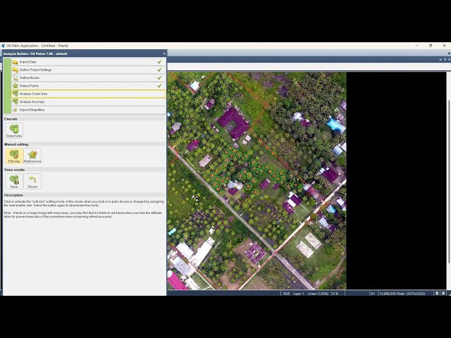
ContourMap #ArcGIS #MappingTutorial #GeospatialAnalysis #GIS #SpatialData #TerrainMapping Buy me a coffee here: ...
0 views
11 hours ago
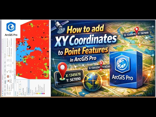
... ArcGIS Pro, XY coordinates, point features, GIS, geospatial analysis, mapping tutorial, spatial data, GIS tools, ArcGIS tutorial, ...
10 views
6 hours ago
ClipRaster #ArcGISPro #GIS #RasterAnalysis #MappingTutorial #GeospatialData #SpatialAnalysis Buy me a coffee here: ...
20 hours ago
arcgistutorial #arcmap #arcgispro Welcome to ROY GIS ACADEMY This ArcGIS ArcMap complete course is designed for ...
4 hours ago
In this video we start down the path of learning and reviewing the essentials to ArcGIS Pro. For this segment of the series, we will ...
1 view
19 hours ago
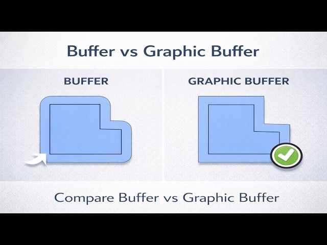
In this video, we explore the key differences between Buffer and Graphic Buffer in ArcGIS Pro, and why choosing the correct tool ...
19 views
In this video, we explore two advanced configuration options in the Mapillary Widget for ArcGIS Experience Builder: Default ...
2 hours ago
In this video, we explore the Appearance Settings of the Mapillary Widget for ArcGIS Experience Builder and learn how to ...
Descarga la data aquí https://drive.google.com/drive/folders/1RbFPIDCT7Eqg-z6gQemmQMEibpSRGGSM?usp=sharing Este ...
63 views
17 hours ago
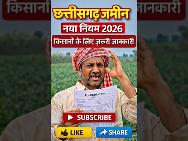
This video is extremely important for farmers and village landowners in Chhattisgarh. If you own a farm, plot, or ancestral ...
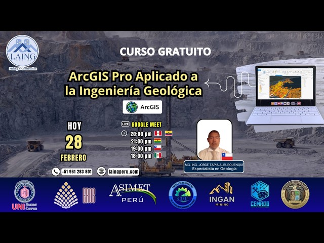
n el Curso de Alta Especialización en ArcGIS Pro aplicado a la Ingeniería Geológica aprenderás a gestionar, analizar y modelar ...
62 views
Streamed 1 day ago
Want a coordinate grid that automatically adjusts to your map scale in QGIS? In this video, I'll show you how to create a ...
15 views
في هذا الدرس نتعلّم كيفية استخدام الحلقات التكرارية والشروط مع هياكل البيانات في بايثون لإنشاء برامج أكثر فعالية ومرونة. ستتعرف ...
22 hours ago
In this tutorial, I demonstrate how to design a dreamy roadside flower garden along a riverbank using ArcGIS software. I focus on ...
16 views
Master the art of acquiring elevation data! 🏔️ In this GIS Scope tutorial, we show you exactly how to navigate the USGS Earth ...
7 hours ago
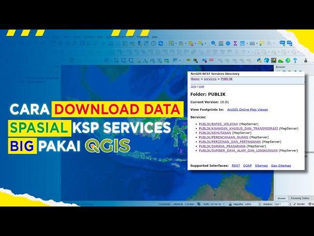
Cara Download Banyak Data Spasial KSP Services BIG Pakai QGIS | Buruan Sebelum Tidak Dapat Diakses! Halo teman-teman ...
13 views
ArcGISPro #ReshapeTool #Biêntậpbảnđồ #GISTutorial #ChỉnhsửaPolygon #ArcGISProEditing Trong video này, chúng ta sẽ cùng ...
6 views
21 hours ago
Butuh pemetaan udara yang akurat dan profesional? Atau ingin belajar pengolahan data drone sampai jadi peta siap analisis?
9 views
23 hours ago


![[C201] - Sử dụng ArcGIS Pro 3.x | GIS | #19 | Kỹ thuật Reshape | Chỉnh sửa không gian nhanh chóng](/api/proxy/image?url=https%3A%2F%2Fi.ytimg.com%2Fvi%2FEB3_rM2KoHY%2Fsddefault.jpg)