Upload date
All time
Last hour
Today
This week
This month
This year
Type
All
Video
Channel
Playlist
Movie
Duration
Short (< 4 minutes)
Medium (4-20 minutes)
Long (> 20 minutes)
Sort by
Relevance
Rating
View count
Features
HD
Subtitles/CC
Creative Commons
3D
Live
4K
360°
VR180
HDR
5,025,707 results
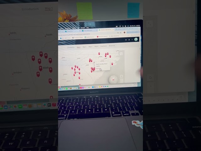
This is part 2 of a webinar on Geoscience Australia's Digital Earth Australia, delivered by FrontierSI. This video covers ways in ...
557 views
7 years ago
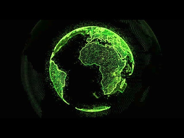
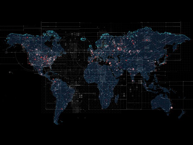
Digital World Map.
74,986 views
5 years ago
161,542 views
Free to use. Download here: https://bit.ly/3AnBz8C.
110,578 views
3 years ago
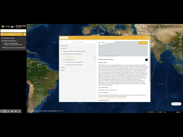
The Digital Earth Africa (DE Africa) Map is a website for map-based access to spatial data. It aims to provide easy access to DE ...
3,935 views
Platform link: https://soar.earth/ Platforms YouTube channel: https://www.youtube.com/channel/UCklyklf0WEeHZtlY-X-q28g Soar.
42,117 views
Beautiful View of Planet Earth from Space Timelapse and Stars 4K VJ Loop Background To download, consider supporting me on ...
140,416 views
6 years ago
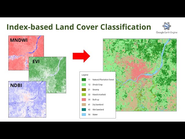
Do you want to classify land cover without sampling or digitizing? Well, I will show you how! Check the script: ...
5,460 views
2 years ago
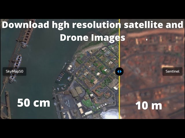
Download very high resolution satellite image cell size 0.30 m.
340,225 views
8 years ago
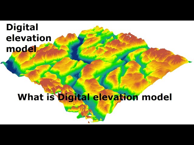
Digitalelevationmodel #DEM #USMANGEO #earthscience A digital elevation model (DEM) is a 3D computer graphics ...
32,821 views
4 years ago
3480x2160, 29.97fps, ProRes 422: https://1.envato.market/X9a7a 1920x1080, 29.97fps, ProRes 422: ...
298,082 views
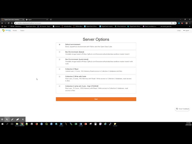
The Digital Earth Africa Sandbox is a cloud-based user computational platform that operates through a Jupyter Lab environment.
3,422 views
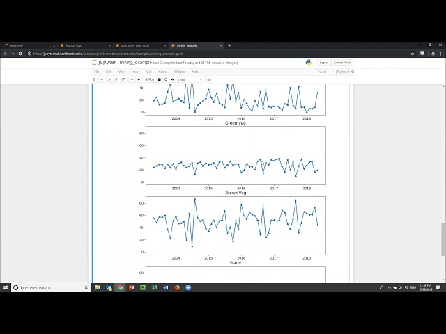
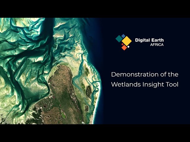
The Wetland Insight Tool enables analysis of wetlands across Africa using satellite data to estimate water, wet soil, green and dry ...
835 views
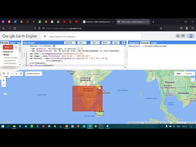
Welcome, In this video tutorial you will learn how to load Sentinel 2 imagery into the Google Earth Engine, which will be followed ...
17,219 views
World Connection Animation, Earth Spinning, Globe Motion Graphics, Loop For more free content on this channel, please like, ...
259,878 views
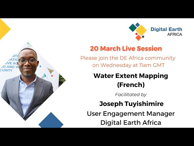
French Live Session 169, held on 20 March 2024. During today's live session, our User Engagement Manager, Joseph ...
90 views
22 views
Download Digital Earth Map New Edition Animated Video Background Loop ...
1,155 views
Save 40% OFF on PDFelement: https://goo.gl/tKD28S Download Free Trial: https://goo.gl/2nYBTA Hey Everyone, Welcome back ...
275,249 views
This is part 3 of a webinar on Geoscience Australia's Digital Earth Australia, delivered by FrontierSI. This video covers how users ...
554 views
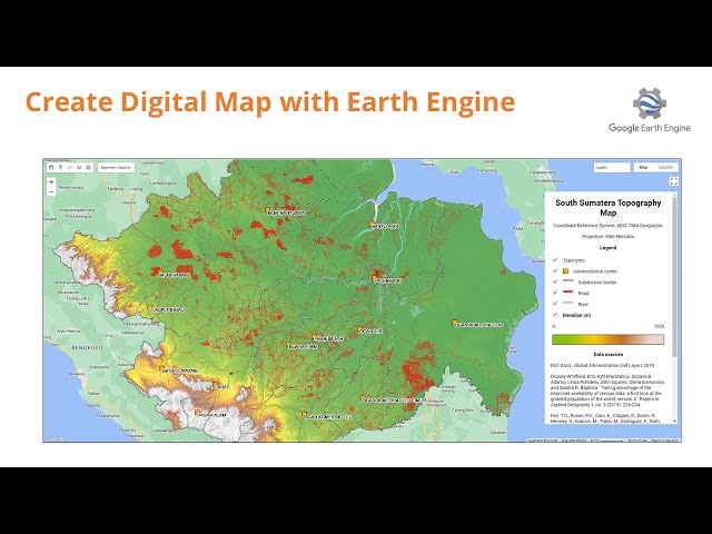
Hi Geospatial Enthusiast! In this video, I will show you how to make a simple digital map using Google Earth Engine. The purpose ...
8,665 views
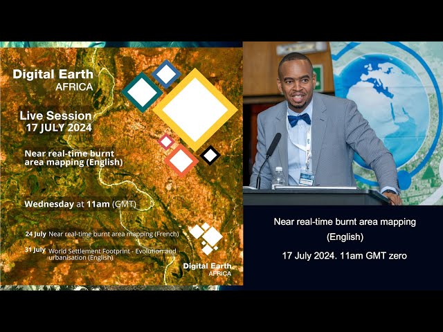
Digital Earth Africa English Live Session 181 held on 17 July 2024 During today's live session, Dr. Kenneth Mubea (Capacity ...
70 views
1 year ago
Google Earth's data catalog just went global. We've massively expanded access to geospatial data with global coverage of ...
26,612 views
2 days ago
Originally presented by Dr. Caitlin Adams, Data Scientist at FronterSI. Try the map: https://maps.digitalearth.africa/ Learn more at ...
430 views
A Digital Elevation Model, or DEM, is a 3D representation of a topographic surface of the Earth, excluding trees, buildings, and ...
38,246 views
95,936,188 views
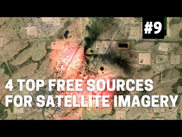
2026 UPDATE: Much has changed in 4 years. Tools have changed, grown and expanded. Here's the 6 free satellite imagery tools ...
2,182,441 views
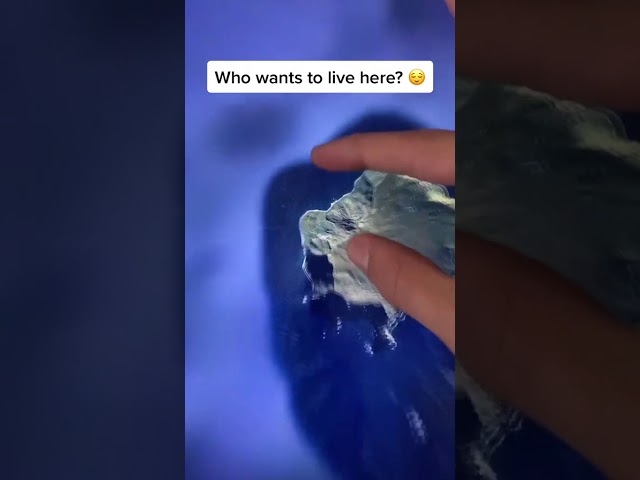
Who wants to live here? Google Earth #Shorts #googleearth #maps #earth #home #travel #viral #island #weird #loneisland ...
73,140,390 views
325,231 views
4 views


![Digital Earth Map Animated Video Background Loop [ for news or business video projects ]](/api/proxy/image?url=https%3A%2F%2Fi.ytimg.com%2Fvi%2FzCQ5CR83hbU%2Fsddefault.jpg)