Upload date
All time
Last hour
Today
This week
This month
This year
Type
All
Video
Channel
Playlist
Movie
Duration
Short (< 4 minutes)
Medium (4-20 minutes)
Long (> 20 minutes)
Sort by
Relevance
Rating
View count
Features
HD
Subtitles/CC
Creative Commons
3D
Live
4K
360°
VR180
HDR
38,715 results
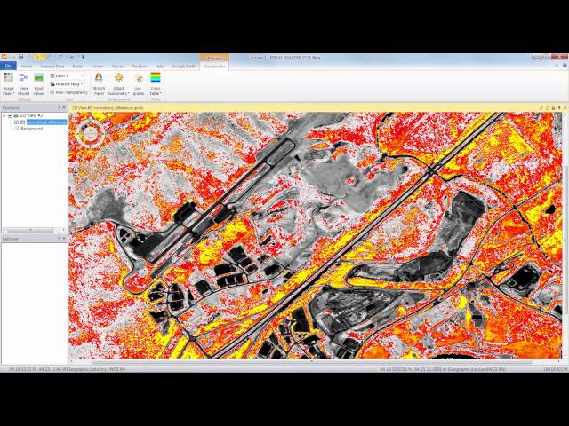
ERDAS IMAGINE provides true value, consolidating remote sensing, photogrammetry, LiDAR analysis, basic vector analysis, and ...
8,943 views
4 years ago
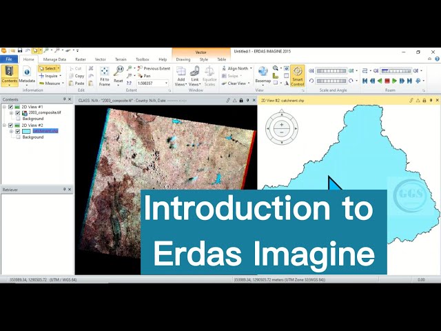
Erdas Imagine is a versatile application with various required tools for remote sensing, photogrammetry and GIS desires.
5,666 views
1 year ago
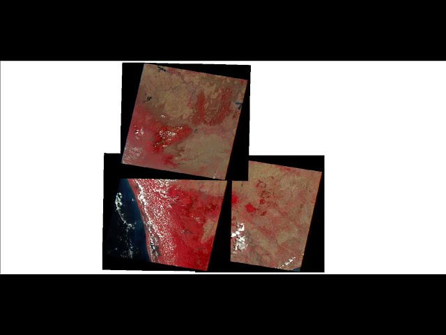
Multi-band Satellite Image are very necessary for example; land use land cover area classification purpose. Satellite provides one ...
489 views
5 years ago
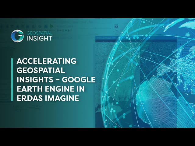
A Geospatial Insight Webinar: Are you looking to harness the full potential of Google Earth Engine (GEE) within ERDAS ...
137 views
8 months ago
Welcome to our Erdas Imagine tutorial for beginners! In this step-by-step guide, we'll walk you through the basics of using Erdas ...
5,841 views
unsupervised classification with recode.
270 views
2 years ago
In this video mosaic of Satellite Imagery is done using Erdas Imagine.
19,996 views
8 years ago
Hello everyone! Welcome to TechStarPlus! In today's video, we'll introduce you to ERDAS Imagine, a powerful geospatial ...
27,001 views
mail id : - geo.solution04@gmail.com qgis,remote sensnig,argis for biginners, Qgis for biginners, free course, udemy, qgis tutorial ...
20,473 views
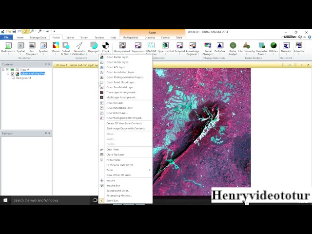
Discover the transformative potential of spatial subsetting as we delve into the process of clipping raster data in Erdas Imagine.
603 views
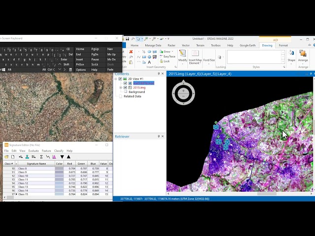
Learn how to create Areas of Interest (AOIs) and sample signatures in ERDAS IMAGINE for supervised image classification.
333 views
7 months ago
Welcome to hexagon geospatial e training our topic flexible ways to visualize a preview using the erass imagine image chain in ...
150 views
10 years ago
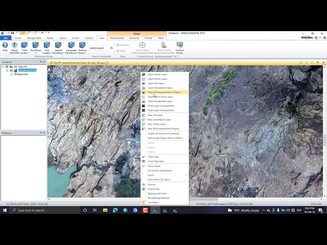
Learn how to set up and manage a photogrammetry project in IMAGINE Photogrammetry using aerial images.
26,170 views
FREE: The Modern GIS Skill Map The 5 skills that actually matter in modern GIS (and what you can stop learning). Based on a ...
576,290 views
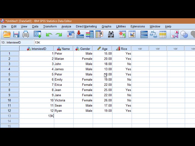
Enroll in the full SPSS course for just $49: https://datafordev.com/spss Get lifetime access to all our courses (SPSS, STATA, ...
4,811,796 views
7 years ago
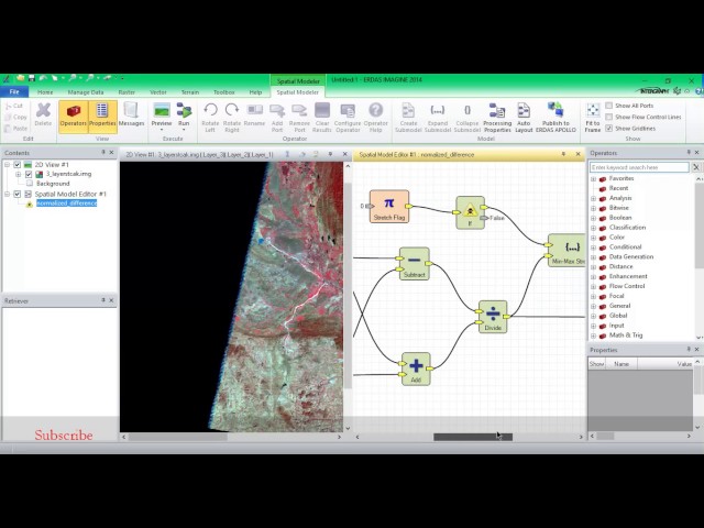
Performing NDVI using Erdas Imagine for identifying the vegetation cover of particular region.
4,807 views
Why do we georeference an image? Georeferencing is crucial to make aerial and satellite imagery, usually raster images, useful ...
9,689 views
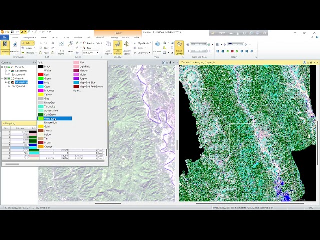
In unsupervised classification, the algorithm examines each band of the image and, without user input, identifies groups of pixels ...
263 views
3 years ago