Upload date
All time
Last hour
Today
This week
This month
This year
Type
All
Video
Channel
Playlist
Movie
Duration
Short (< 4 minutes)
Medium (4-20 minutes)
Long (> 20 minutes)
Sort by
Relevance
Rating
View count
Features
HD
Subtitles/CC
Creative Commons
3D
Live
4K
360°
VR180
HDR
557 results
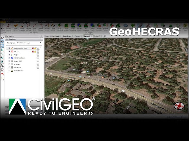
ArcGIS #WatershedAnalysis #RiverLength #GIS #SpatialAnalysis #Hydrology #GeographicInformationSystems In this video, we ...
53 views
6 days ago
Forget trying to learn every single tool in the modern GIS stack. It's a trap. The geospatial industry is exploding with new software, ...
1,849 views
Slope and aspect analysis in ArcGIS using DEM explained step by step. This GIS tutorial covers DEM slope analysis and aspect ...
3 views
#QGIS #GIS #3DTerrain #OnlineDEM #QGIS3D Don't forget to like the video and subscribe for more free GIS tutorials!
131 views
16 hours ago
0 views
0
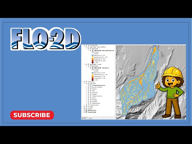
Create pier scour heat maps with a new processor using FLO-2D MapCrafter.
33 views
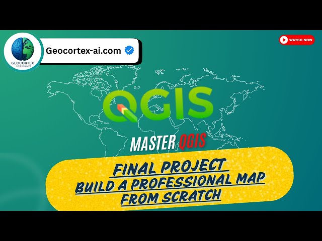
How do GIS professionals turn raw spatial data into publish-ready maps? In this video, we walk through a complete QGIS project ...
13 views
7 days ago
3 days ago
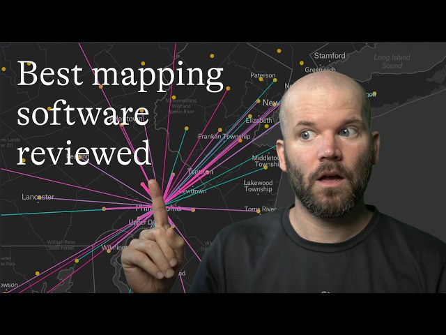
Choosing the best mapping software depends on your needs, budget, and technical requirements. In this review, we compare ...
204 views
জিআইএস (GIS) কী এবং এটি কীভাবে কাজ করে? আজকের ভিডিওতে আমরা অত্যন্ত সহজ ...
5 views
5 days ago
NDWI is widely used for: Mapping surface water bodies, water resources management Monitoring floods and droughts ...
757 views
4 days ago
SHP to DWG Conversion in ArcMap Convert shapefiles (SHP) to AutoCAD DWG format directly in ArcMap—perfect for geospatial ...
29 views
Want to learn QGIS from absolute scratch? This complete beginner-friendly QGIS tutorial will take you step-by-step from zero to ...
30 views
After years of teaching QGIS on this channel, I've created a complete, structured learning path designed to take you from ...
977 views
Learn how to use the Stamp Geometry command to modify terrain geometry by burning in a stream channel or constructing a ...
7 views
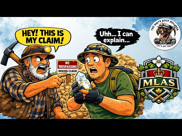
How to Use MLAS to Check Mining Claims (Before You Rockhound!) Before you head out rockhounding, it's critical to know ...
38 views
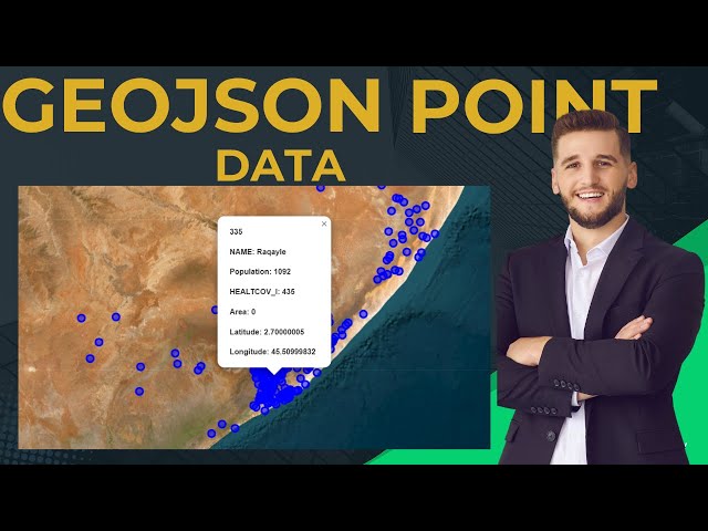
In this tutorial, you'll learn how to display GeoJSON point data on a web map using Leaflet — a core skill for anyone working in ...
How do GIS professionals publish spatial data as live, interactive maps on the web? In Part 1 of this GeoServer tutorial series, we ...
14 views
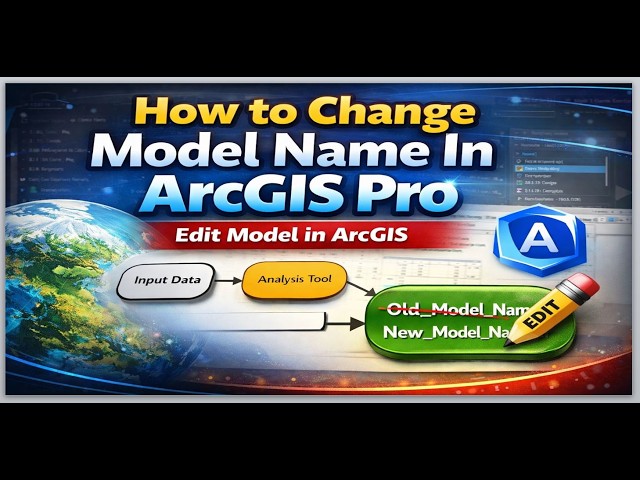
... ArcGIS, GIS Tutorial, Model Builder, Geospatial Analysis, Editing Models, Data Management, Geographic Information Systems, ...
19 views
2 days ago
Learn how to process LiDAR data and survey points when channel details are limited or unavailable to create accurate terrain ...
25 views