Upload date
All time
Last hour
Today
This week
This month
This year
Type
All
Video
Channel
Playlist
Movie
Duration
Short (< 4 minutes)
Medium (4-20 minutes)
Long (> 20 minutes)
Sort by
Relevance
Rating
View count
Features
HD
Subtitles/CC
Creative Commons
3D
Live
4K
360°
VR180
HDR
657 results
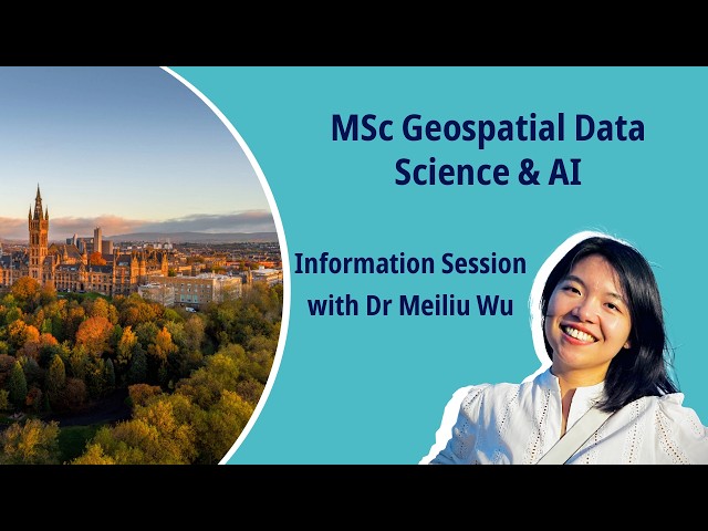
Discover our new MSc in Geospatial Data Science & AI and develop cutting‑edge skills in GIS, GeoAI, ML, and big data. For more ...
95 views
12 hours ago
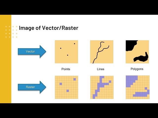
This video is intended for audience who are interested in mapping and geospatial analysis. The video shows steps of ...
16 views
21 hours ago
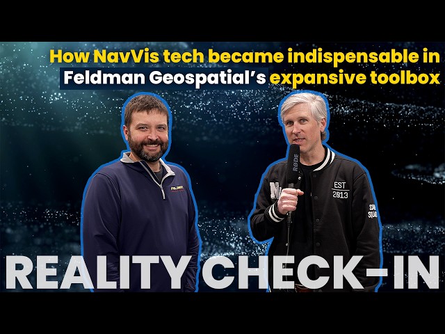
At Geo Week 2026, we asked Matthew Skibba, Director of Reality Capture at Feldman Geospatial, a practical question: How do ...
0 views
9 hours ago
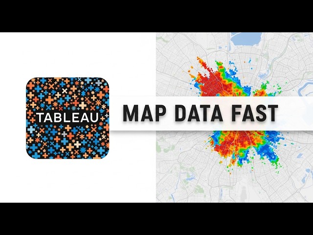
Description: In this video, we dive into the essentials of geospatial data mapping in Tableau! Whether you're a student or a data ...
4 hours ago
Want to download free high-resolution satellite imagery in QGIS? In this tutorial, I'll show you how to access and visualize imagery ...
170 views
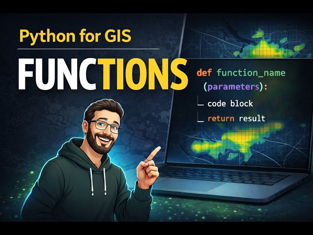
In this lesson, we introduce Python functions and explain how they help you write cleaner, reusable, and more efficient code for ...
14 hours ago
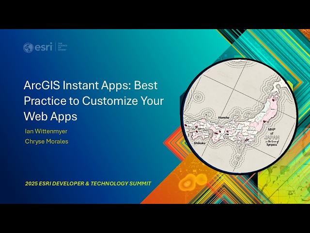
Instant Apps provides 20+ pre-configured templates to help you quickly create interactive web applications without a single line of ...
13 views
3 hours ago
Learn How to Create and Export KML & KMZ files in Google Earth Pro in this quick and practical GIS tutorial. In this video, you will ...
3 views
8 hours ago
Learn how to filter and display Sentinel-2 satellite imagery in Google Earth Engine (GEE) in this complete 2026 tutorial.
Streamed 1 day ago
ALERT: Selling your home could WIPE OUT your GIS benefit in 2026! If you are a Canadian senior receiving the Guaranteed ...
109 views
6 hours ago
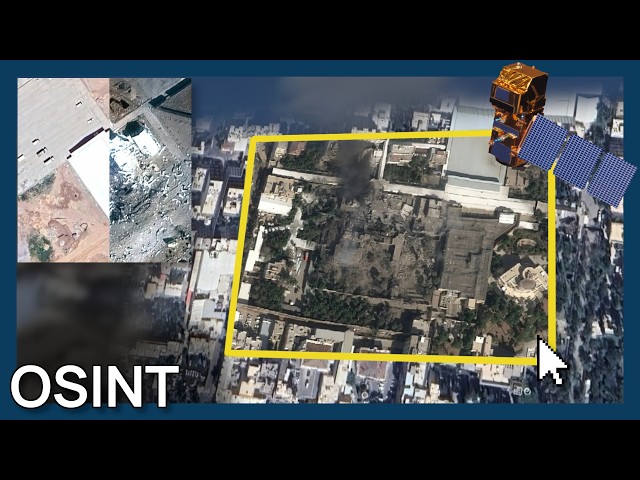
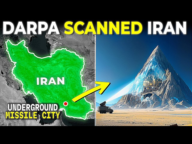
Soar Atlas: soaratlas.com As events unfold in Iran, access to structured, verifiable geospatial tools matters. This video outlines ...
14 views
15 hours ago
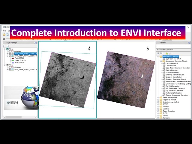
ENVI #RemoteSensing #SpatialAnalysis #GIS #Geospatial #DataAnalysis #SoftwareTutorial In this comprehensive video, we ...
19 views
11 hours ago
An idea of small self-contained sleeping pods for the homeless. Each pod is a work of public art, funded by brands that want to be ...
7 hours ago
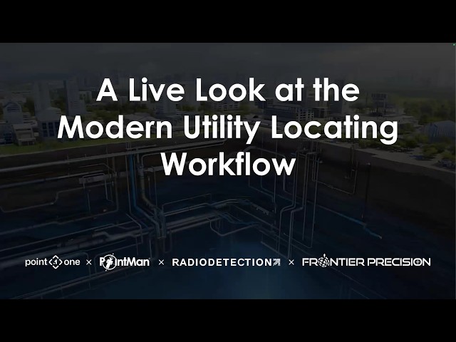
Hundreds of you joined our first webinar to see how combining a professional locator (Radiodetection), a mobile geospatial ...
Before you get started with GIS, you need data. This session shows you how geospatial data is made and collected, the types of ...
19 hours ago
Kriging #ArcGISPro #SpatialInterpolation #GISAnalysis #Geostatistics #MappingTechniques #ArcGISTutorial In this instructional ...
33 views
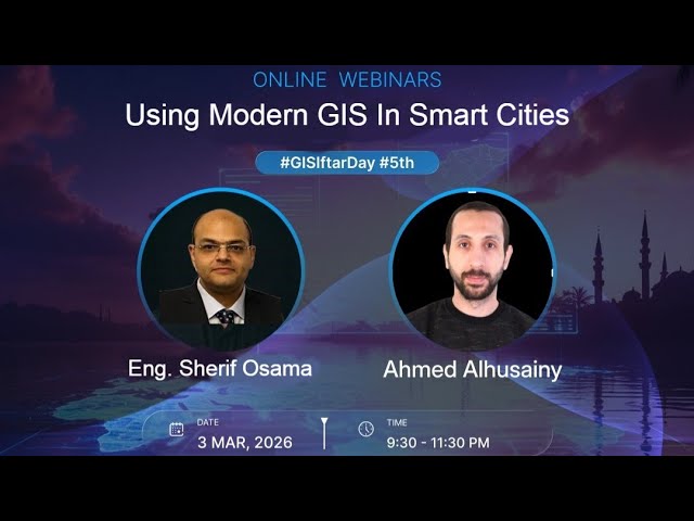
When you hear “Smart City”… Do you think about apps and dashboards only? Or do you think about the engine behind real ...
228 views
Streamed 38 minutes ago
NDVI extraction using GEE and presenting in ArcMap.
5 views
In conversation with Rami Tamimi, geospatial content creator and founder of The Survey School, Aaron Addison, Executive ...
1 view
US CENTCOM confirmed that B-2 Spirit bombers struck "hardened ballistic missile facilities" in Iran during Operation Epic Fury.
9,481 views