Upload date
All time
Last hour
Today
This week
This month
This year
Type
All
Video
Channel
Playlist
Movie
Duration
Short (< 4 minutes)
Medium (4-20 minutes)
Long (> 20 minutes)
Sort by
Relevance
Rating
View count
Features
HD
Subtitles/CC
Creative Commons
3D
Live
4K
360°
VR180
HDR
49 results
ENVI #SoftwareTutorial #RemoteSensing #GIS #DataAnalysis #GeospatialSoftware #TechTutorial Buy me a coffee here: ...
153 views
13 hours ago
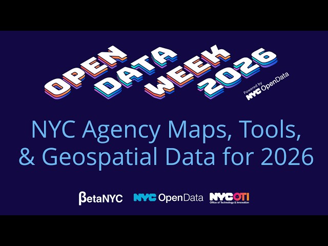
NYC Open Data Week 2026 NYC Agency Maps, Tools, & Geospatial Data for 2026 Lee Ilan - Mayor's Office of Environmental ...
5 views
15 hours ago
ICEYE is using AI with the LUMI supercomputer to turn satellite imagery into actionable insight for disaster response—like the ...
132 views
5 hours ago
This video provides a detailed geospatial and digital analysis of operations occurring from February 28 to March 24, 2026.
2 views
4 hours ago
... combining LiDAR systems with intelligent quadruped robots to capture accurate spatial data where humans can't safely operate ...
28 views
20 hours ago
Over the last 20 years, technology and the nature of conflict have changed more rapidly than US defense policies and military ...
35 views
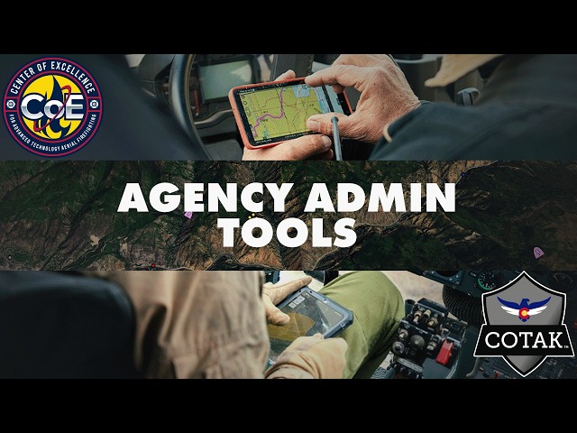
In this video, we walk agency administrators through the admin tools available on cotak.gov. Whether you're brand new to the ...
41 views
7 hours ago
This webinar was presented by the National Laboratory of the Rockies' geospatial data scientists Galen Maclaurin and Gabe ...
18 views
Built on large foundation models, GeoGPT integrates geospatial data, scientific literature, and domain datasets to enable ...
0 views
0
... fire behavior analysis, risk analysis, real-time data, spatial data, geospatial applications, innovation in data science, fire ecology, ...
78 views
1 day ago
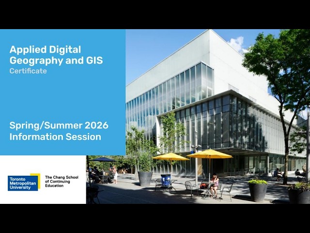
Join us for a special Spring/Summer edition of our information sessions, where you'll have the unique opportunity to connect with ...
8 hours ago
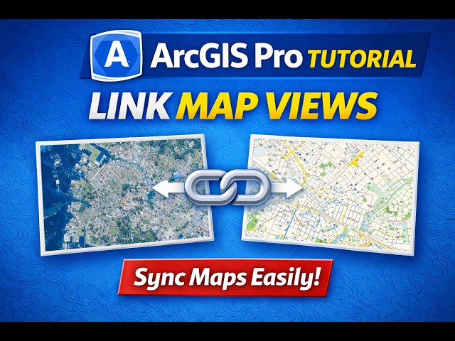
... making it easier to visualize and analyze spatial data efficiently. Topics Covered • What is linking map views in ArcGIS Pro ...
1 view
9 hours ago
ENVI, #ENVITutorial, #ImageClipping, #RemoteSensing, #GIS, #RasterProcessing, #GeospatialAnalysis Buy me a coffee here: ...
20 minutes ago
Your Life As Every Defense Intelligence Analyst Rank What does it truly cost to climb the ranks as a data analyst within the ...
... writing (B.Tech to Ph.D.) • Geospatial data processing and conceptual guidance Explore more at https://terracode.space/
6 views
This time, we'll introduce two "vanished tourist destinations" that once existed in Chiba. (Namegata Island and Inubosaki ...
2,439 views
17 hours ago
With hands-on experience across major infrastructure projects, he processes geospatial data through analysis and high-precision ...
Curated content from your FOX54 News for the last week.
On Thursday, March 26, 2026, at 10:00 a.m., in room 1324 Longworth House Office Building, the Committee on Natural ...
46 views
Streamed 1 day ago
Local 5's Dana Searles sits down with authors of new cancer report on Iowa's cancer rates, and she breaks down bills now on Gov ...
10 hours ago


![[28-03-2026] Indian Weather Forecast: 7 बजे ⚡ Patna–Dhanbad–Kolkata में भारी बारिश! 🌧️](/api/proxy/image?url=https%3A%2F%2Fi.ytimg.com%2Fvi%2FKZlsAzA2ErU%2Fsddefault.jpg)
![[Vanished Tourist Destinations] ~Two Vanished Tourist Destinations in Chiba You Can Never Visit A...](/api/proxy/image?url=https%3A%2F%2Fi.ytimg.com%2Fvi%2FoxsSZCGTHkA%2Fsddefault.jpg)