Upload date
All time
Last hour
Today
This week
This month
This year
Type
All
Video
Channel
Playlist
Movie
Duration
Short (< 4 minutes)
Medium (4-20 minutes)
Long (> 20 minutes)
Sort by
Relevance
Rating
View count
Features
HD
Subtitles/CC
Creative Commons
3D
Live
4K
360°
VR180
HDR
148,297 results
Most data is about what happens, but spatial data adds the crucial dimension of where it happens. Whether you're tracking real ...
16,149 views
1 year ago
For data-driven organizations, it is critical to have reliable ETL processes. As an open-source tool, Geocint can help organizations ...
194 views
What is GIS? https://gisgeography.com/what-is-gis/ US Maps - https://usmaps.com/ Esri Mapping Software - https://www.esri.com/ ...
280,174 views
2 years ago
Core Concepts: Learn the basics of GeoDataFrames, spatial joins, and geometry operations. Handling Geospatial Data: Work with ...
79,510 views
Get actionable insights from your data at scale. Enhance geospatial data and use processing algorithms, all in one platform.
523 views
For many GIS professionals, SQL and databases can feel intimidating. They seem like tools for data engineers, not map makers.
12,227 views
6 months ago
Rapid advancements in geospatial technologies such as geographical information systems (GIS), global position systems (GPS) ...
23,550 views
3 years ago
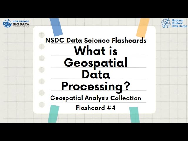
Learn about Geospatial Analysis with the National Student Data Corps! Why is geospatial data processing important? What are ...
411 views
Martin Christen talks at virtual PyCon HK, May 9, 2020 Conference Schedule: https://pycon.hk/schedule-pycon-hk-2020-spring/
368 views
5 years ago
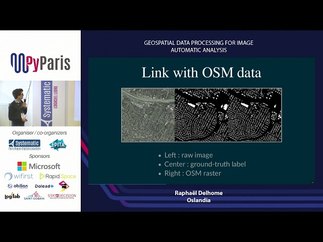
Geospatial data processing for image automatic analysis (Raphaël Delhome, Oslandia.
100 views
7 years ago
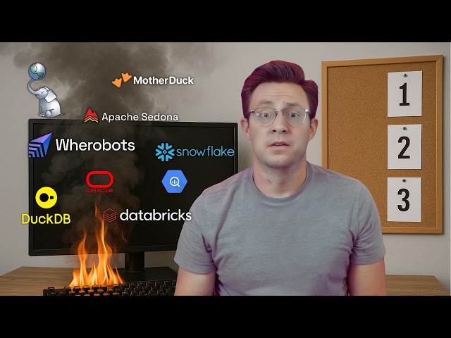
In this video, we dive into every tool designed for spatial analytics, data storage, and geospatial data processing. Whether you're ...
5,991 views
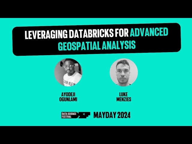
A talk by Ayodeji Ogunlami and Luke Menzies from Advancing Analytics. In the rapidly evolving field of Geographic Information ...
442 views
The problem of matching GPS locations to roads and local government areas (LGAs) involves handling large datasets and a ...
362 views
8 months ago
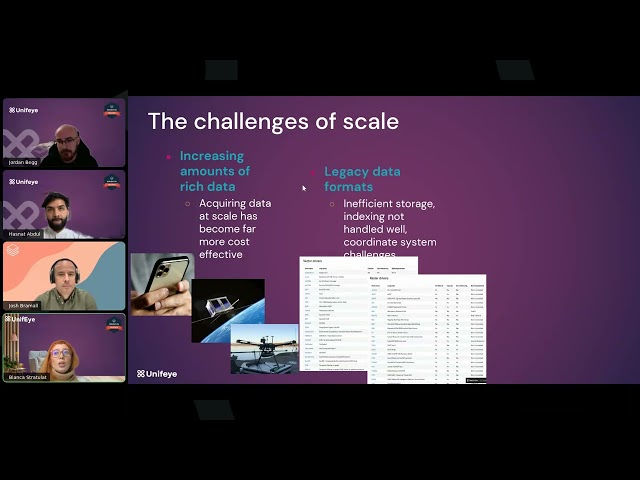
Most organizations capture huge volumes of spatial data, including addresses, coordinates, routes, and catchments, but struggle ...
145 views
4 months ago
Collecting LiDAR data efficiently and accurately is important, but it's only half of the equation! Once you have your data, what do ...
37,262 views
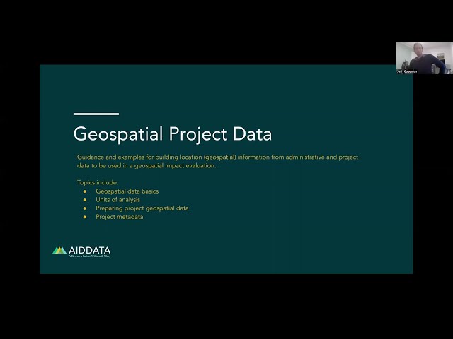
Guidance and examples for building location (geospatial) information from administrative and project data to be used in a ...
759 views
Hey everyone, and welcome back to All About AI Tech! Today, we're diving deep into the world of geospatial data analysis and ...
183 views
In this tutorial, you will learn about the various Python modules for processing geospatial data, including GDAL, Rasterio, Pyproj, ...
815 views
Visit Our Website: https://interviewpen.com/?utm_campaign=geospatial Join Our Discord (24/7 help): ...
8,367 views
LocationTech (https://locationtech.org) is a working group inside of Eclipse Foundation that many open source projects dealing ...
823 views
10 years ago
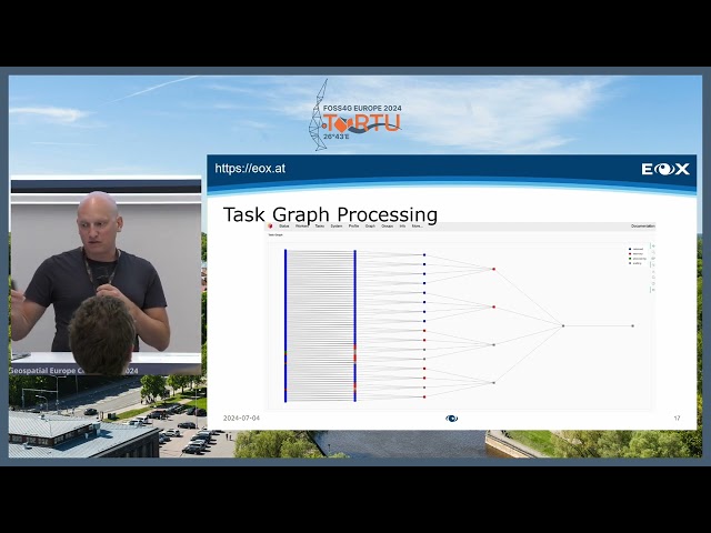
Dask is a flexible parallel computing library that seamlessly integrates with popular Python data science tools. With its task graph ...
93 views
Zachary Deziel from Anagraph shows off how they use dbt (data build tool) in geospatial for creating ELT pipelines. He does a ...
2,326 views
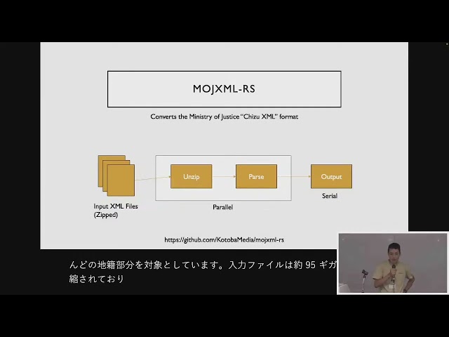
FOSS4G 2025 Japan Room C Session 6 Geospatial Data Processing using Rust / 小林敬太郎 セッションの概要は ...
57 views
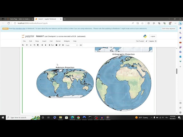
Learn basic concepts about geospatial data: crs, projections, datum and geospatial data visualization. Code available at: ...
313 views
This is an example practical exercise included as part of the Zhu Family Center for Global Cancer Prevention at Harvard Chan's ...
172 views


![TorchGeo: Revolutionizing Geospatial AI [Geospatial Data Analysis]](/api/proxy/image?url=https%3A%2F%2Fi.ytimg.com%2Fvi%2F0MumPrpvwWY%2Fsddefault.jpg)