ViewTube

ViewTube
Sign inSign upSubscriptions
Filters

Upload date

Type

Duration

Sort by

Features

Reset

400 results

Milan's Data Stories
Geospatial Data Science Essentials - AI discussion

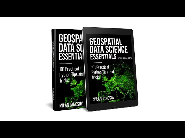
Milan Janosov's book provides a Python-based guide to geospatial data science. It covers vector and raster processing using ...

16:53
Geospatial Data Science Essentials - AI discussion

205 views

1 month ago

Matt Forrest
I Gave Claude AI Full Control of QGIS (Here’s What Happened)

... for weekly videos on modern geospatial data engineering, cloud-native GIS, and spatial analytics for professional practitioners.

16:47
I Gave Claude AI Full Control of QGIS (Here’s What Happened)

7,058 views

2 weeks ago

Space, Remote sensing and GIS
ENVI Satellite Data Processing Series – Part 2

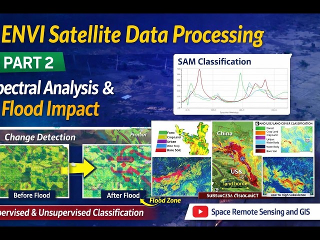
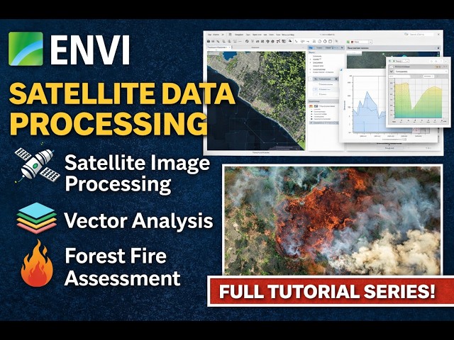
I'm happy to share the latest lecture in my ongoing ENVI satellite data processing series on my YouTube channel “Space Remote ...

1:26:21
ENVI Satellite Data Processing Series – Part 2

87 views

12 days ago

EnviroPioneers
Introduction to GIS | Geographic Information System Explained | Components of GIS | RSGIS

Key properties of geospatial data, including geographic referencing, scale, generalization, and symbolization, are discussed to ...

27:15
Introduction to GIS | Geographic Information System Explained | Components of GIS | RSGIS

203 views

1 month ago

Schneider Digital
MENA3D Explained: Geospatial Workflows from Data Capture to Visualization | Schneider Digital

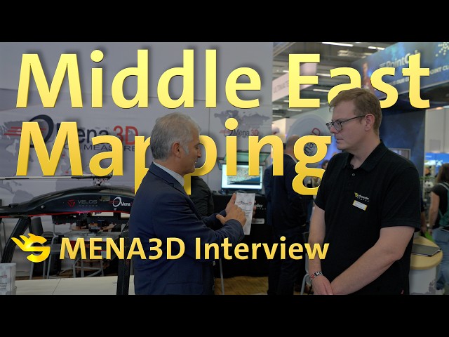
In this video, we talk with MENA3D, a German geospatial solutions provider based in Regensburg, about their work and projects ...

1:27
MENA3D Explained: Geospatial Workflows from Data Capture to Visualization | Schneider Digital

17 views

2 weeks ago

MAPe IT Solutions Pvt Ltd
What is GIS? | How Geographic Information System Works & Who Benefits from It

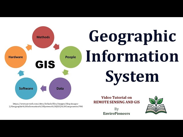
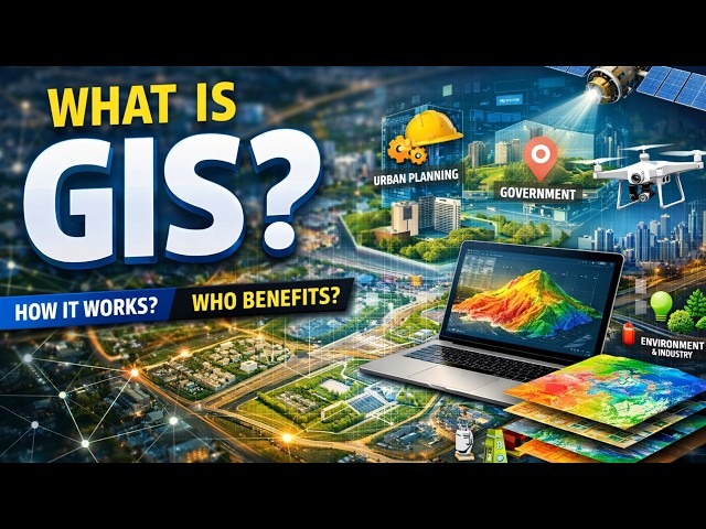
Geographic Information System (GIS) is a powerful technology used to collect, manage, analyze, and visualize spatial or ...

0:47
What is GIS? | How Geographic Information System Works & Who Benefits from It

14 views

3 weeks ago

Safara and 2 more
Loo-k — Where Data Finds Home | Hack Canada 2026

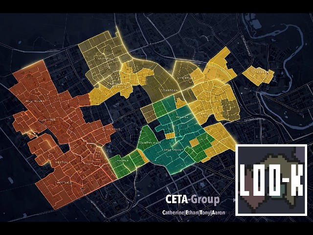
Loo-k is a comprehensive neighbourhood analysis platform designed to bridge the gap between raw geospatial data and quality ...

4:20
Loo-k — Where Data Finds Home | Hack Canada 2026

165 views

2 weeks ago

Matt Forrest
Stop Crashing ArcGIS Pro. Build This Instead.

Daily modern GIS insights: https://forrest.nyc Subscribe for weekly videos on modern geospatial data engineering, cloud-native ...

9:16
Stop Crashing ArcGIS Pro. Build This Instead.

1,411 views

6 days ago

SystemDR - Scalable System Design
Build a Scalable Geospatial Data Warehouse | PostgreSQL 17, PostGIS, H3 Architecture

Course Curriculum: https://systemdrd.com/courses/geospatial-data-warehouse-with-postgresql/ Course Website ...

2:42
Build a Scalable Geospatial Data Warehouse | PostgreSQL 17, PostGIS, H3 Architecture

24 views

6 days ago

Space, Remote sensing and GIS
Satellite Image Processing in ENVI – Full Beginner Guide | Part 1

This upcoming video lecture series focuses on satellite data processing using the software ENVI, highlighting essential ...

1:57:44
Satellite Image Processing in ENVI – Full Beginner Guide | Part 1

173 views

2 weeks ago

Halida Holidin
AI Powered Road Crack Detection and Geospatial Mapping System for Smart Infrastructure Monitoring

... case generation, followed by frame extraction, AI-based crack detection, GPS synchronization, and geospatial data processing.

5:09
AI Powered Road Crack Detection and Geospatial Mapping System for Smart Infrastructure Monitoring

20 views

3 weeks ago

MapSyntax
Lesson 6: Python functions | Python Crash Course (for geospatial science)

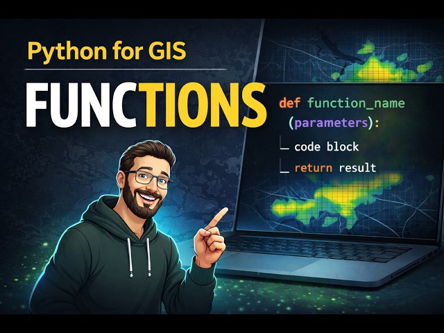
In this lesson, we introduce Python functions and explain how they help you write cleaner, reusable, and more efficient code for ...

24:11
Lesson 6: Python functions | Python Crash Course (for geospatial science)

60 views

3 weeks ago

Science Meets Technology
Geographic Information Technology and Its Applications: A Comprehensive Review

... and utilization of geospatial data. This video covers key GIT components like Remote Sensing, GPS, and GIS, their unique roles ...

21:02
Geographic Information Technology and Its Applications: A Comprehensive Review

0 views

3 weeks ago

thriveGEO
STAC: A common language for finding geospatial data | Scene from Above S15E5

STAC has become foundational to how Earth Observation data is discovered and accessed across cloud platforms, but how did it ...

55:37
STAC: A common language for finding geospatial data | Scene from Above S15E5

38 views

3 weeks ago

The Drone Network
How One Person Creates Missions For Thousands of Flying Robots

Mason Pahl is the Geospatial Data Lead at Spexi Geospatial — the person responsible for turning client needs into safe, flyable ...

14:03
How One Person Creates Missions For Thousands of Flying Robots

38 views

2 weeks ago

LizardTech (a GeoWGS84 Company)
How to Compress Drone Data for Faster Storage and Processing

Organizations have completely changed how they use drone technology to collect high-resolution geospatial data, whether it's ...

1:09
How to Compress Drone Data for Faster Storage and Processing

11 views

13 days ago

NGEOSPATIAL SOLUTION
How to Install GEOAI Plugin in QGIS 2026 | Complete Step-by-Step Tutorial for Beginners

... At NGEO SPATIAL SOLUTION, we provide training in GIS, Remote Sensing, Spatial Analysis, and Geospatial Data Processing, ...

6:45
How to Install GEOAI Plugin in QGIS 2026 | Complete Step-by-Step Tutorial for Beginners

166 views

2 weeks ago

World Food Forum
WFF Masterclass - Seeing water clearly: Geospatial insights for agrifood water action

Water challenges in agrifood systems (e.g., water scarcity, flooding, drought, groundwater depletion, inequitable access, etc.)

1:28:35
WFF Masterclass - Seeing water clearly: Geospatial insights for agrifood water action

79 views

1 month ago

GeoStore | Number One Geospatial Store In Nigeria
High-Speed LiDAR Data Processing in ArcGIS Pro | GeoStore Lagos, Nigeria  #dji #gis #fpv

Are you looking to master LiDAR data processing or need professional GIS services in Nigeria? In this video, we showcase the ...

2:00
High-Speed LiDAR Data Processing in ArcGIS Pro | GeoStore Lagos, Nigeria #dji #gis #fpv

3 views

1 month ago

Maps by RGD
HOW TO EXTRACT TREES FROM LIDAR DATA IN QGIS

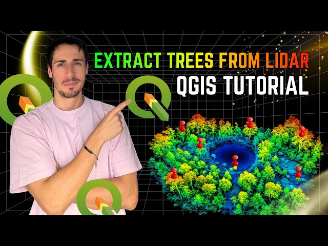
In this video, I demonstrate how to extract trees from LiDAR data using QGIS, replicating a workflow I previously developed in ...

18:40
HOW TO EXTRACT TREES FROM LIDAR DATA IN QGIS

2,368 views

3 weeks ago