ViewTube

ViewTube
Sign inSign upSubscriptions
Filters

Upload date

Type

Duration

Sort by

Features

Reset

17,819 results

GBP SCIENCE
 “What is Geospatial Technology?| Explained for agriculture students”

Geospatial technology What is Geospatial Technology? | Explained in Simple Terms In this video, we'll explore what Geospatial ...

5:49
“What is Geospatial Technology?| Explained for agriculture students”

153 views

4 months ago

Geospatial Talks
Chapter 1: Remote Sensing (RS) | Geospatial Technology | Class 12 | CBSE

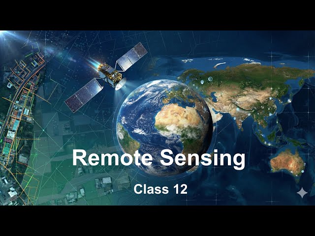
Namaste! Unlock the exciting world of Remote Sensing in this beginner-friendly tutorial! Learn the basics of how satellites and ...

51:54
Chapter 1: Remote Sensing (RS) | Geospatial Technology | Class 12 | CBSE

1,129 views

5 months ago

Geospatial Solution
3D GIS & Digital Twins Explained: Revolutionizing Smart Cities and Urban Planning

Unlock the future of geospatial technology with 3D GIS and Digital Twins! In this video, we dive into how these groundbreaking ...

3:51
3D GIS & Digital Twins Explained: Revolutionizing Smart Cities and Urban Planning

651 views

8 months ago

GEO GIRL
Is a Career as a Geospatial Scientist & GIS Specialist Right For You? w/Reyer Fenoff | GEO GIRL

Link to rest of Geoscience Careers Playlist: https://www.youtube.com/playlist?list=PL69bBhmsrgfsP8Pc6F1bRSPS-WsNFAiLy ...

42:10
Is a Career as a Geospatial Scientist & GIS Specialist Right For You? w/Reyer Fenoff | GEO GIRL

8,420 views

6 months ago

ISGroup
ISGroup │ Intelligent Solutions by Geospatial Leaders

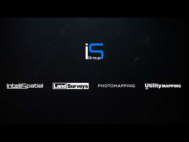
The ISGroup unites the strengths of its specialist group of subsidiaries; IntelliSpatial, Land Surveys, Utility Mapping and ...

1:13
ISGroup │ Intelligent Solutions by Geospatial Leaders

612 views

9 months ago

Onidex Geo-Spatial Solutions
How Geospatial Technology Detects Illegal Mining | GIS, Drones & Satellite Mapping Explained

Illegal mining is destroying ecosystems, harming communities, and draining national economies — but geospatial technology is ...

1:23
How Geospatial Technology Detects Illegal Mining | GIS, Drones & Satellite Mapping Explained

41 views

5 months ago

Sam Kibui
GIS is Disappearing - The Future of GIS Technology Explained!

Is GIS really disappearing? Or is it evolving into something bigger than we ever imagined? In this video, we explore the disruption ...

12:13
GIS is Disappearing - The Future of GIS Technology Explained!

793 views

8 months ago

Native GIS
GIS Careers Explained: Spatial Analyst, Modeler, or Engineer?

... GIS jobs, Esri, ArcGIS, QGIS, Python for GIS, remote sensing, cartography, data visualization, geospatial technology, GIS tutorial ...

2:57
GIS Careers Explained: Spatial Analyst, Modeler, or Engineer?

643 views

8 months ago

Native GIS
Top 5 AI Tools You Need for Spatial Analysis Success

AI is changing maps FOREVER! Discover the TOP 5 AI Tools for Geospatial Analysis you MUST know in 2025. From predicting ...

9:30
Top 5 AI Tools You Need for Spatial Analysis Success

2,362 views

10 months ago

Rami Tamimi, P.S.
How Surveyors are using AI Robots for Geospatial Mapping

The Survey School is the fastest-growing online platform for land surveyors. Enroll today at https://thesurveyschool.com to get ...

10:53
How Surveyors are using AI Robots for Geospatial Mapping

2,920 views

9 months ago

Native GIS
🔍 How GeoAI Works: The Future of Smart Mapping Explained

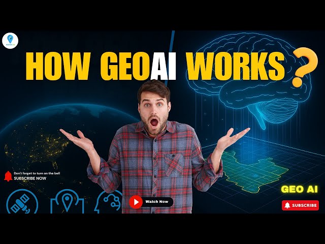
How does GeoAI actually work? In this video, we break down the fascinating workflow behind GeoAI (Geospatial Artificial ...

2:57
🔍 How GeoAI Works: The Future of Smart Mapping Explained

6,314 views

9 months ago

GEODNET
Inside the World’s Largest Geospatial Event | GEODNET & ROVR at INTERGEO 2025

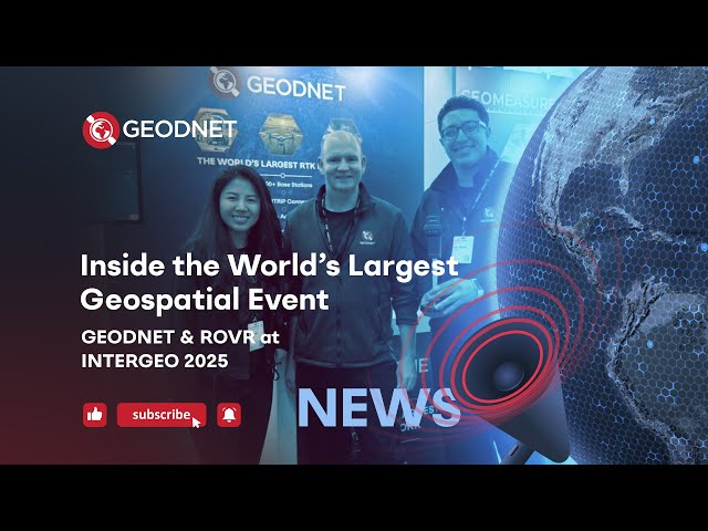
The GEODNET team was proud to participate in InterGEO 2025 in Frankfurt, Germany, the world's largest geospatial and mapping ...

0:55
Inside the World’s Largest Geospatial Event | GEODNET & ROVR at INTERGEO 2025

44,052 views

4 months ago

Geospatial Solution
"How Governments Use Remote Sensing for Urban Planning & Smart Cities"

In this video, we explore how satellite data and geospatial technology help governments: ✔️ Monitor urban expansion ✔️ Plan ...

3:32
"How Governments Use Remote Sensing for Urban Planning & Smart Cities"

536 views

7 months ago

Native GIS
Top 5 Things I Wish I Knew Before Becoming a GIS Analyst

From analyzing spatial data to creating impactful maps, discover how these professionals use geospatial technology to tackle ...

3:19
Top 5 Things I Wish I Knew Before Becoming a GIS Analyst

5,723 views

10 months ago

ExamPOV
Geospatial Technologies by ISRO 📘 | Remote Sensing, GIS, GNSS, & AI Applications Explained

ISRO's Official Textbook on Geospatial Technologies | Remote Sensing, GIS, GNSS, & AI Applications Explained Explore the ...

10:15
Geospatial Technologies by ISRO 📘 | Remote Sensing, GIS, GNSS, & AI Applications Explained

26 views

4 months ago

CESL
GEOSPATIAL Technology (CESL)

Construction #constraction #cesl Hydrographic Service of Central Engineering Services is a professional organization that ...

3:56
GEOSPATIAL Technology (CESL)

194 views

9 months ago

Native GIS
Want a Career in Geospatial AI? | Top Jobs, Skills & Future Opportunities Explained!

Are you ready to launch a career that blends maps, machine learning, and innovation? In this video, we dive deep into the world ...

2:56
Want a Career in Geospatial AI? | Top Jobs, Skills & Future Opportunities Explained!

1,224 views

8 months ago

Geospatial World
How EU Space Programs Are Driving the Future of Geospatial Technology | GWF 2025

At Geospatial World Forum 2025, Carmen M Aguilera, Market Development Officer for Transport, European Union Agency for ...

5:47
How EU Space Programs Are Driving the Future of Geospatial Technology | GWF 2025

176 views

9 months ago

Geospatial Analysis
How GIS Transforms Holistic Water System Management | ArcGIS for Utilities & Smart Infrastructure

In this video, we explore how GIS technology supports every corner of the water sector — from asset management and ...

6:04
How GIS Transforms Holistic Water System Management | ArcGIS for Utilities & Smart Infrastructure

336 views

4 months ago

MAPe IT Solutions Pvt Ltd
What is GIS? | How Geographic Information System Works & Who Benefits from It

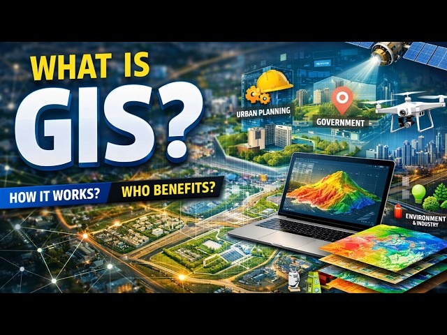
Geographic Information System (GIS) is a powerful technology used to collect, manage, analyze, and visualize spatial or ...

0:47
What is GIS? | How Geographic Information System Works & Who Benefits from It

0 views

2 weeks ago