ViewTube

ViewTube
Sign inSign upSubscriptions
Filters

Upload date

Type

Duration

Sort by

Features

Reset

99 results

Study Hacks-Institute of GIS & Remote Sensing
Google Earth Engine Tutorial: How to Filter and Display Sentinel-2 Satellite Imagery (2026)

Learn how to filter and display Sentinel-2 satellite imagery in Google Earth Engine (GEE) in this complete 2026 tutorial.

1:42:31
Google Earth Engine Tutorial: How to Filter and Display Sentinel-2 Satellite Imagery (2026)

197 views

Streamed 4 days ago

Study Hacks-Institute of GIS & Remote Sensing
Advanced Remote Sensing Analysis using Google Earth Engine

Learn how to filter and display Sentinel-2 satellite imagery in Google Earth Engine (GEE) in this complete 2026 tutorial.

38:56
Advanced Remote Sensing Analysis using Google Earth Engine

98 views

Streamed 1 day ago

Nimbo Earth Online
How to Integrate Nimbo Satellite Mosaics into ArcGIS Pro via WMTS

In this tutorial, we show how to integrate Nimbo satellite mosaics into ArcGIS Pro using a WMTS connection. You will learn how to: ...

7:51
How to Integrate Nimbo Satellite Mosaics into ArcGIS Pro via WMTS

0 views

10 hours ago

Study Hacks-Institute of GIS & Remote Sensing
Flood Mapping using Sentinel-1 SAR data in Google Earth Engine

Learn how to filter and display Sentinel-2 satellite imagery in Google Earth Engine (GEE) in this complete 2026 tutorial.

2:37
Flood Mapping using Sentinel-1 SAR data in Google Earth Engine

44 views

Streamed 3 days ago

GIS Developer
Land Surface Temperature (LST) Analysis in Google Earth Engine using MODIS Data

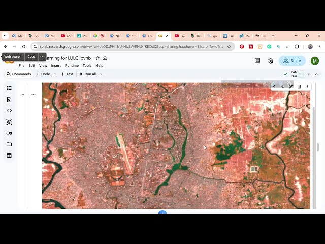
Full Course: https://www.udemy.com/course/google-earth-engine-supervised-classification-for-lulc/?

22:42
Land Surface Temperature (LST) Analysis in Google Earth Engine using MODIS Data

39 views

5 days ago

GIS & AI,GEOGRAPHY
Spatial Data & Their Management in GIS | GIS Tutorial @GISRS-1 #trending #gis

GISRS-1 Spatial Data & Their Management in GIS | GIS Tutorial Learn GIS step by step! In this video, we cover Spatial Data ...

7:33
Spatial Data & Their Management in GIS | GIS Tutorial @GISRS-1 #trending #gis

17 views

5 days ago

Study Hacks-Institute of GIS & Remote Sensing
Flood Mapping using Sentinel-1 SAR data in Google Earth Engine

Learn how to filter and display Sentinel-2 satellite imagery in Google Earth Engine (GEE) in this complete 2026 tutorial.

1:11:13
Flood Mapping using Sentinel-1 SAR data in Google Earth Engine

150 views

Streamed 3 days ago

Learn Geography with Shyamal
Georeferencing in ArcGIS Step-by-Step | GIS & Remote Sensing Tutorial | Learn Geography with Shyamal

Learn how to perform georeferencing in ArcGIS with this complete step-by-step tutorial in GIS & Remote Sensing. This video ...

9:14
Georeferencing in ArcGIS Step-by-Step | GIS & Remote Sensing Tutorial | Learn Geography with Shyamal

31 views

3 days ago

Asif Khan
Geo-Rectification in ERDAS IMAGINE | Step-by-Step Tutorial Using GCP & RMS Error

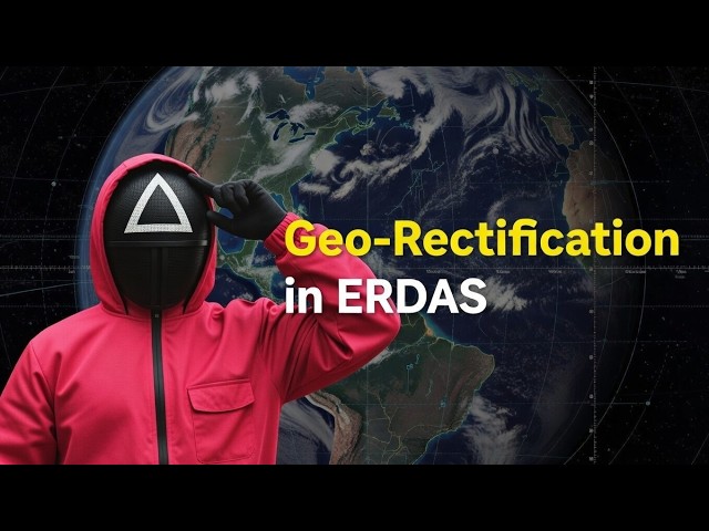
Geo-rectification is one of the most important steps in GIS and Remote Sensing analysis. In this tutorial, I have explained how to ...

16:39
Geo-Rectification in ERDAS IMAGINE | Step-by-Step Tutorial Using GCP & RMS Error

141 views

4 days ago

Geojay GIS Solution
Generate Contour Map In Arcgis Tutorial

ContourMap #ArcGIS #MappingTutorial #GeospatialAnalysis #GIS #SpatialData #TerrainMapping Buy me a coffee here: ...

0:24
Generate Contour Map In Arcgis Tutorial

0 views

3 minutes ago

Study Hacks-Institute of GIS & Remote Sensing
LULC Satellite Image Classification Using Machine Learning: How to Prepare Dataset, Data Preparation

LULC Satellite Image Classification Using Machine Learning How to Prepare Dataset & Data Preparation (Step-by-Step Guide) ...

22:55
LULC Satellite Image Classification Using Machine Learning: How to Prepare Dataset, Data Preparation

163 views

6 days ago

Labellerr AI
5 Best Geospatial Image Annotation Tools in 2026

In this video, we explore the best geospatial image annotation tools in 2026. From high-resolution satellite imagery labeling to ...

3:14
5 Best Geospatial Image Annotation Tools in 2026

30 views

5 days ago

Satellite Remote Sensing and GIS
Agisoft Metashape Complete Tutorial | Episode 01: Align Photos, Add GCPs & Build Dense Cloud

In this tutorial, I will show you how to build a DEM and an orthomosaic step by step using Agisoft Metashape software.

31:14
Agisoft Metashape Complete Tutorial | Episode 01: Align Photos, Add GCPs & Build Dense Cloud

43 views

5 days ago

Study Hacks-Institute of GIS & Remote Sensing
What is Geospatial Intelligence (GEOINT)?

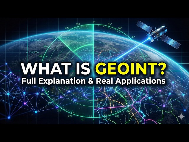
Geospatial Intelligence (GEOINT) is the process of collecting, analyzing, and interpreting geospatial data to support ...

3:43
What is Geospatial Intelligence (GEOINT)?

132 views

5 days ago

GIS with Mahwish
Soil Erosion Risk Mapping (RUSLE) – 2020 vs 2025 I RUSLE Model in Google Earth Engine

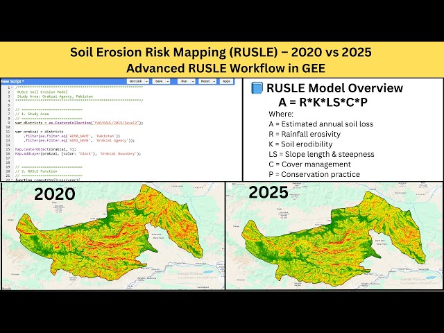
In this tutorial, we perform a complete RUSLE Soil Erosion Risk Analysis in Google Earth Engine, including a multi-year ...

7:51
Soil Erosion Risk Mapping (RUSLE) – 2020 vs 2025 I RUSLE Model in Google Earth Engine

129 views

4 days ago

GIS & RS Solution
How to Create USGS EarthExplorer Account and Download Satellite Images

In GIS and Remote Sensing, we can do many types of analysis using satellite images, such as Land Use, Land Surface ...

9:26
How to Create USGS EarthExplorer Account and Download Satellite Images

207 views

1 day ago

Jan'z Biology Education
NDVI Mapping in R for Beginners | Step-by-Step Vegetation Analysis Tutorial

Learn how to create NDVI (Normalized Difference Vegetation Index) maps in R step by step! This tutorial covers remote sensing, ...

7:06
NDVI Mapping in R for Beginners | Step-by-Step Vegetation Analysis Tutorial

16 views

6 days ago

Satellite Remote Sensing and GIS
How to Align Photos in Agisoft Metashape

In this video, I will show you how to add UAV photos in Agisoft Metashape software. Additionally, I will demonstrate how to convert ...

11:09
How to Align Photos in Agisoft Metashape

7 views

14 hours ago

GIS & AI,GEOGRAPHY
How to Create a Study Area Map Shapefile I Step-by-Step Tutorial Episode 11 PART 1@GISRS-1 #gis

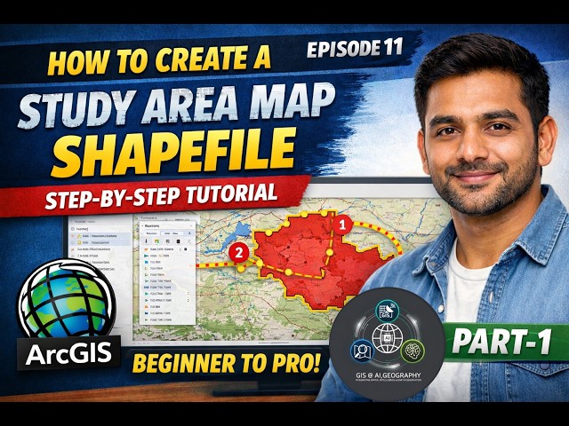
GISRS-1 How to Create a Study Area Map Shapefile | Step-by-Step Tutorial (Beginner to Pro) | Episode 11 | ArcGIS In this ...

7:43
How to Create a Study Area Map Shapefile I Step-by-Step Tutorial Episode 11 PART 1@GISRS-1 #gis

67 views

5 days ago

Geojay GIS Solution
Generate Contour Map In Arcgis Tutorial Review

ContourMap #ArcGIS #MappingTutorial #GeospatialAnalysis #GIS #SpatialData #TerrainMapping Buy me a coffee here: ...

0:36
Generate Contour Map In Arcgis Tutorial Review

0 views

2 days ago