Upload date
All time
Last hour
Today
This week
This month
This year
Type
All
Video
Channel
Playlist
Movie
Duration
Short (< 4 minutes)
Medium (4-20 minutes)
Long (> 20 minutes)
Sort by
Relevance
Rating
View count
Features
HD
Subtitles/CC
Creative Commons
3D
Live
4K
360°
VR180
HDR
1,176 results
Dive into the world of precision measurement as we guide you through using a lidar 3D scanner. This comprehensive video ...
0 views
2 days ago
7 days ago
T3RRA Tip: When working with simplified lidar data from drones, a common file type to use is .csv. For more info on drone data in ...
6 days ago
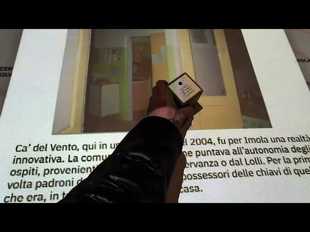
In this video, we will learn how to use a lidar sensor on an iPhone. If you want to know the usage of the lidar sensor or find lidar ...
1,190 views
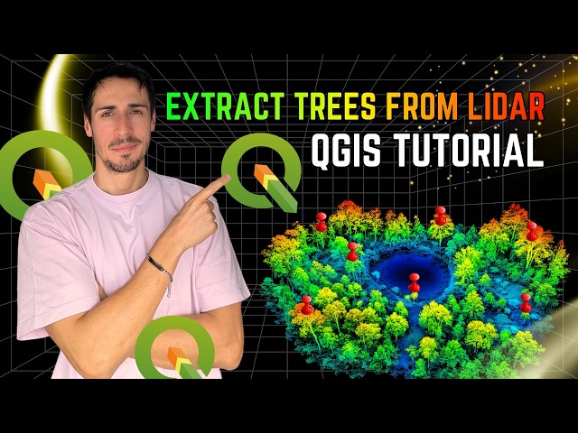
In this video, I demonstrate how to extract trees from LiDAR data using QGIS, replicating a workflow I previously developed in ...
1,407 views
4 days ago
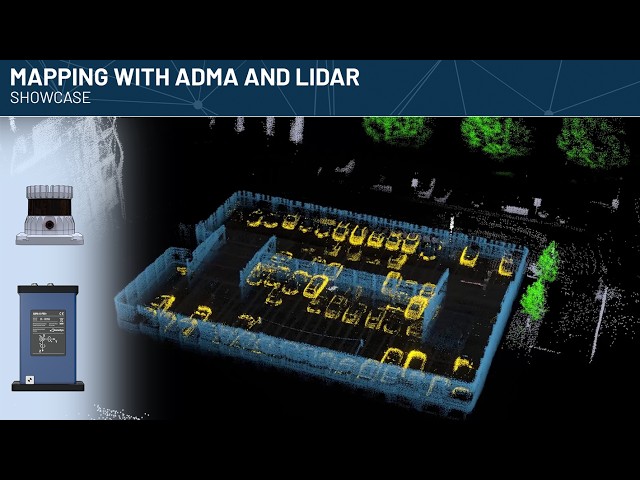
Using ADMA, a GNSS-aided inertial navigation system, in combination with a roof-mounted Lidar sensor, mapping the vehicle ...
22 views
Overview of the notch project I made for an interactive table, using Hokuyo Lidar Sense. Created with Notch 1.0.182 Original ...
10 views
5 days ago
107 views
3 days ago
Are you looking to master LiDAR data processing or need professional GIS services in Nigeria? In this video, we showcase the ...
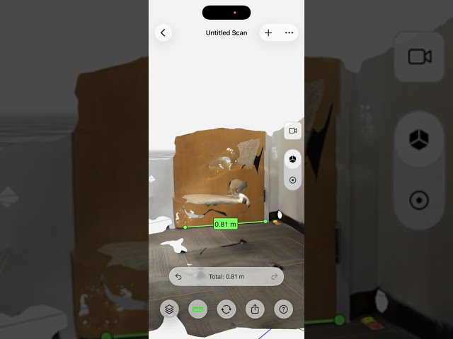
Modelar Go Through 1. How to scan a targeted object via Modelar-3D LiDAR scanner. 2. How to process a scanned project in the ...
4 views
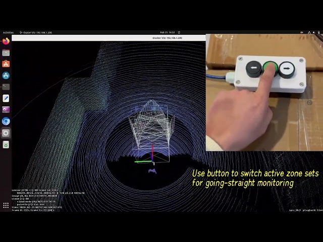
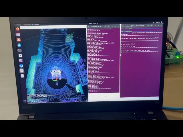
Firmware v3.2.0 of the Ouster LiDAR introduces the Zone Monitoring feature. The Zone Monitoring function provides ...
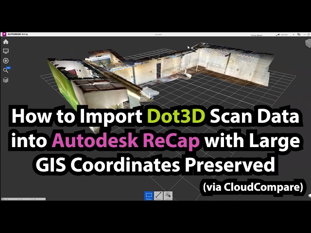
Direct referencing to geospatial coordinates is an increasingly useful feature for Dot3D users. However, large coordinates can ...
48 views
00:00 Introduction (with audio) to LiDAR data and mapping 11:36 Mapping exercise 12:20 Tutorial (with captions): download and ...
32 views
Automatically classify ground and non-ground elements within your point cloud — including buildings, vegetation, and noise ...
51 views
Las máquinas y vehículos autónomos confían en el software de localización y mapeo simultáneo (SLAM) para construir un mapa ...
8 views
2017-04-02 56.
41 views
깃 허브 : https://github.com/Kimhyuntae9665/Lidar_senser_room 동아리 방에서 Lidar a1 을 돌려서 네모난 모양 Xavier에서 Lidar ...
2 views
floorplan #LiDAR #ipad #win Creating an EPC Floor Plan with LiDAR – Live Test Using iPhone & Magicplan Enter here: ...
327 views
Every successful AI system is built on one foundation—high-quality labeled data. In this video, we break down the Top 10 Data ...
18 views