Upload date
All time
Last hour
Today
This week
This month
This year
Type
All
Video
Channel
Playlist
Movie
Duration
Short (< 4 minutes)
Medium (4-20 minutes)
Long (> 20 minutes)
Sort by
Relevance
Rating
View count
Features
HD
Subtitles/CC
Creative Commons
3D
Live
4K
360°
VR180
HDR
106,291 results
Traditional line locators have long been the standard for utility and underground detection. With radar based subsurface imaging ...
2,461 views
7 years ago
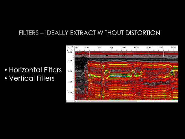
In this video, we explore the reasons for low seismic resolution and a range of methods to improve it. From hardware-level ...
3,149 views
3 years ago
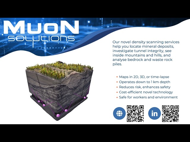
Need to see what's underground—safely, deeply, and accurately? We at Muon Solutions provide advanced 3D subsurface muon ...
77 views
8 months ago
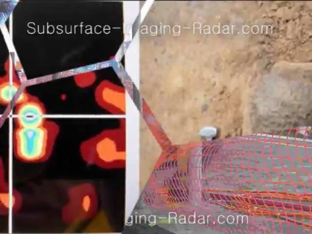
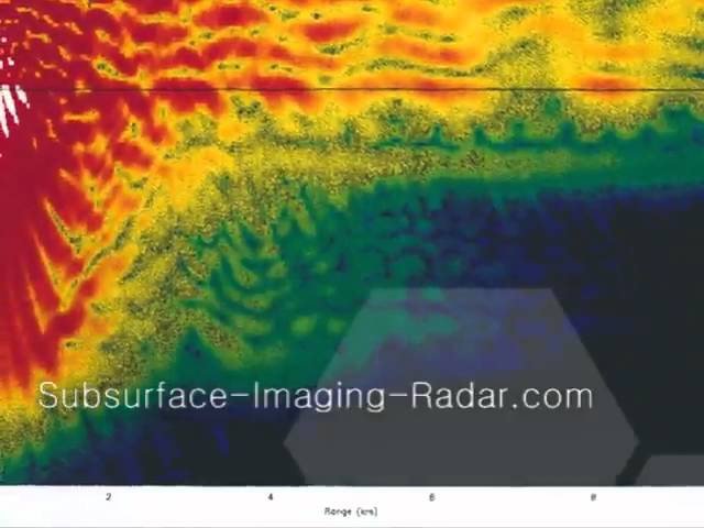
http://Subsurface-Imaging-Radar.comb | GPR California Gpr California. Gpr in California is a local, family owned company. Gpr in ...
349 views
16 years ago
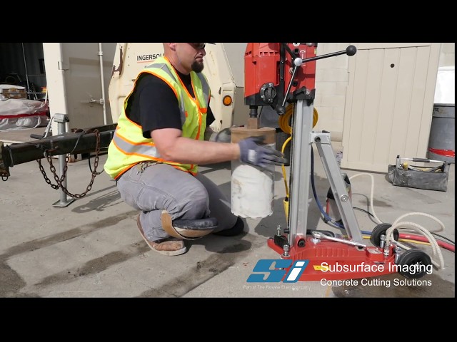
Subsurface Imaging, Inc. was formed in 2004 to provide consultancy, quality management, testing, and inspecting services on ...
2,024 views
6 years ago
1 subscribers
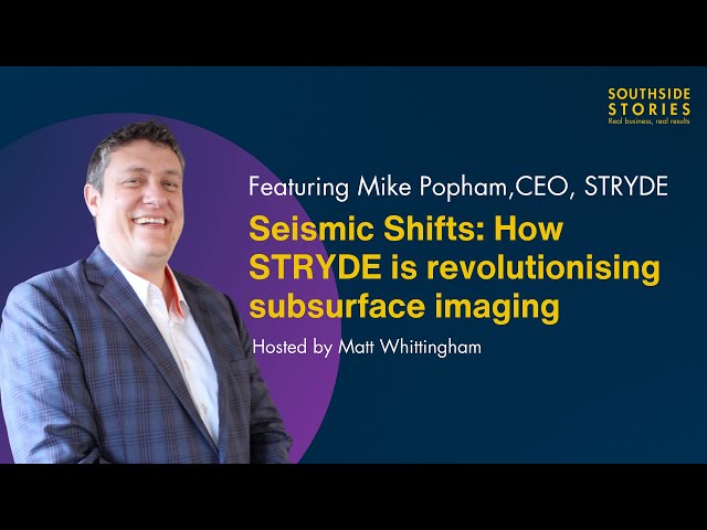
Join us for a compelling conversation with Mike Popham, CEO of STRYDE, as we explore the groundbreaking world of seismic ...
59 views
7 months ago
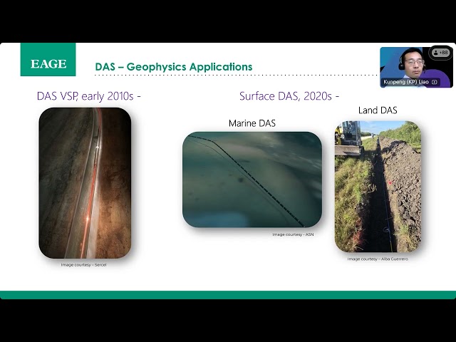
Distributed Acoustic Sensing (DAS) for Subsurface Imaging and Monitoring. A webinar organized by the EAGE Technical ...
629 views
4 months ago
Sensors & Software delivers subsurface imaging solutions to customers worldwide. Understanding what lies beneath the surface ...
5,929 views
8 years ago
http://Subsurface-Imaging-Radar.com | Utility location California Utility location California. Utility location California is a local, ...
32 views
At Pro-Scan Subsurface Imaging we are using Ground Penetrating Radar and Radio Detection to give you the most accurate ...
185 views
10 years ago
Realtime update of the movements of the ball. Accuracy is in the mm region, amazing! Radar is developed by Radarbolaget in ...
13,166 views
Overview of the use of ground penetrating radar (GPR) methods in soil surveying by Jim Doolittle (USDA-NRCS), This talk is ...
79,525 views
11 years ago
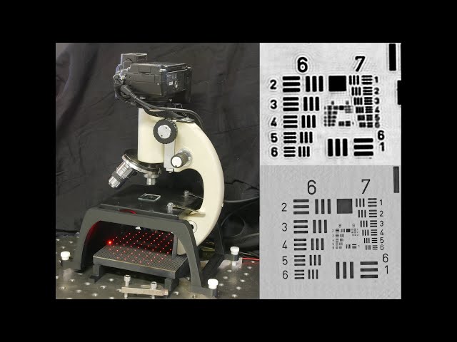
In this project, I'm going to show how you can construct images with the detector facing away from the scene using point scanning ...
142,778 views
A recently developed computational imaging technique combines hundreds of low resolution images into one super high ...
269,143 views
1 year ago
Finding the right Ground Penetrating Radar unit can be a lofty task. From antenna size, to frequencies, there is so much that goes ...
5,285 views
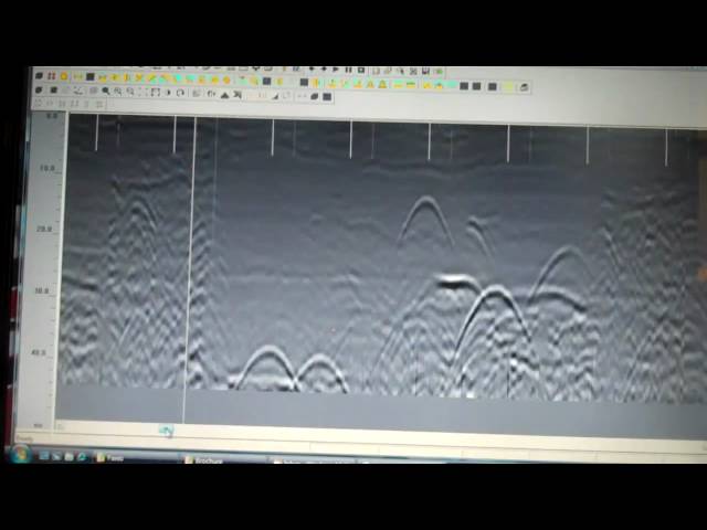
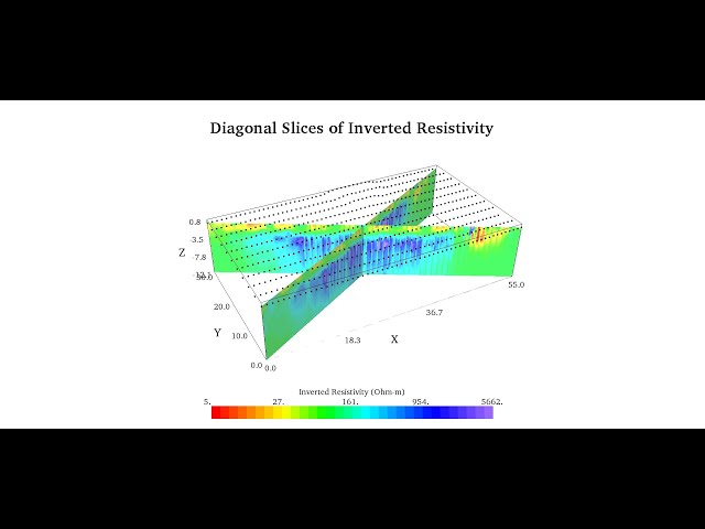
SDS processing of data obtained from Ground Penetrating Radar to display the location of buried infrastructure.
75,767 views
15 years ago
I built an X-ray backscatter imaging system that uses compressed sensing to reconstruct full images from random samples.
194,908 views
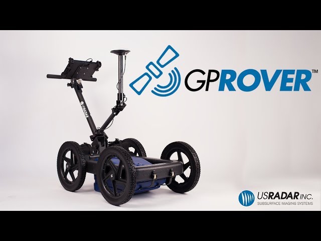
US Radar Inc., the leading innovator of ground penetrating radar (GPR) systems, recently introduced the GP Rover, which ...
12,597 views
This is a guide for first time users of US Radar's Quantum Imager GPR system to get started quickly and easily. For more ...
8,525 views
This video will demonstrate how to collect ground control points during your XGRIDS SLAM LiDAR scan that you can then tie to ...
1,430 views
9 months ago
http://Subsurface-Imaging-Radar.com | Underground locating California Underground locating California. Underground locating ...
81 views
978 subscribers
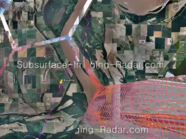
http://Subsurface-Imaging-Radar.com | Underground locator los angeles Dig alert. Which dig alert company can you have ...
153 views
Accu-Scan GPR Inc. specializes in an array of services that are specifically tailored to suit your needs, from utility locating to ...
72 views
9 years ago
http://Subsurface-Imaging-Radar.com | See Below California See below California. Which See below company in California can ...
33 views
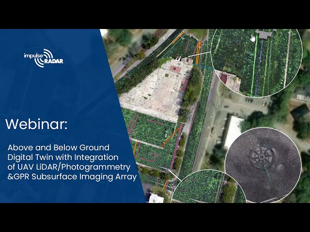
... Below Ground Digital Twin with Integration of UAV LiDAR/Photogrammetry with GPR Subsurface Imaging Array ImpulseRadar's ...
210 views
3 months ago
http://Subsurface-Imaging-Radar.com | Cable locating California Cable locating california. Which Cable locating can you trust in ...
21 views
Contact information: person: Dr. Hector R. Hinojosa, PG website: www.cordillerageo.com mobile: 737.207.2536 e-mail: ...
212 views
4 years ago