Upload date
All time
Last hour
Today
This week
This month
This year
Type
All
Video
Channel
Playlist
Movie
Duration
Short (< 4 minutes)
Medium (4-20 minutes)
Long (> 20 minutes)
Sort by
Relevance
Rating
View count
Features
HD
Subtitles/CC
Creative Commons
3D
Live
4K
360°
VR180
HDR
3,670,796 results
Explore practical geospatial and GIS skills with courses and resources from GeoDelta Labs: https://www.geodeltalabs.com ...
1,960,657 views
5y ago
https://www.arcgismastery.com Video Agenda: · Open ArcMap · Data Types (mxd - layer – GeoDataBase GDB – shapefile) · Quick ...
110,262 views
New to ArcGIS Pro? Making the transition from ArcMap? I've got you covered in your first day with ArcGIS Pro by showing you the ...
50,678 views
3y ago
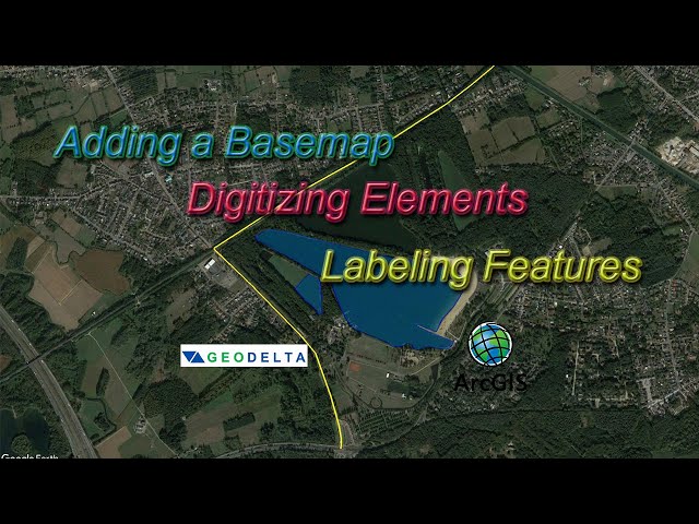
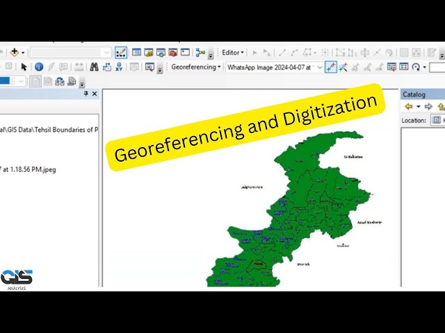
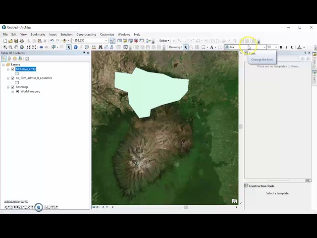
This tutorial explains the basic steps of digitizing components of an ESRI basemap, creating new shapefiles and labeling them ...
151,883 views
7y ago
Steps: 1. The Data Frame Properties window is accessible through ArcMap's View menu or by right-clicking the data frame in the ...
64,884 views
4y ago
1,129 views
1y ago
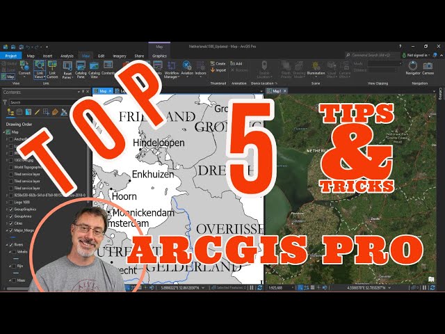
What are your top 5 tips & tricks for ArcGIS Pro? In this video, I show you my top 5 most helpful aspects of the best GIS software out ...
44,984 views
In this tutorial, you'll explore the main components of the ArcGIS Pro user interface—the ribbon, views, and panes. Follow the ...
138,170 views
How to open ArcMap, add relevant toolbars and windows and basemaps and vector file. Open ArcCatalog and create a new ...
160,719 views
8y ago
Ready to Master ArcGIS Pro? This ArcGIS Pro Tutorial is your Complete GIS Tutorial – 37 lessons in one awesome video!
78,167 views
11mo ago
452,469 views
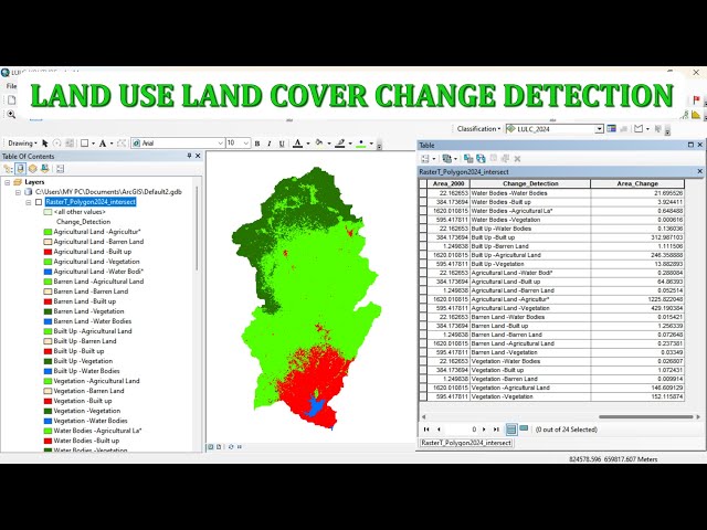
Description: This video demonstrates how to perform Land Use and Land Cover (LULC) Change Detection using ArcMap.
790 views
6mo ago
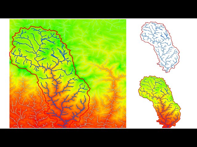
You will know How to delineating Watershed from a digital elevation model (DEM) using arcgis. Stream delineation, watershed ...
235,200 views
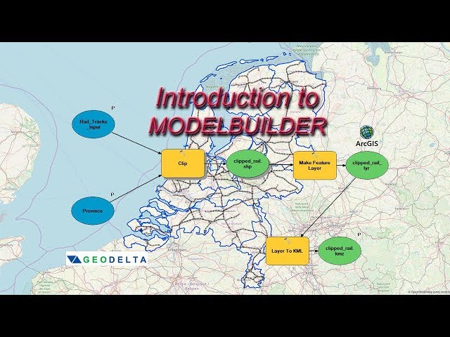
In this ArcGIS Model Builder tutorial you will learn how to create a model to automate the processes of clipping two shapefiles, ...
62,012 views
6y ago
254,804 views
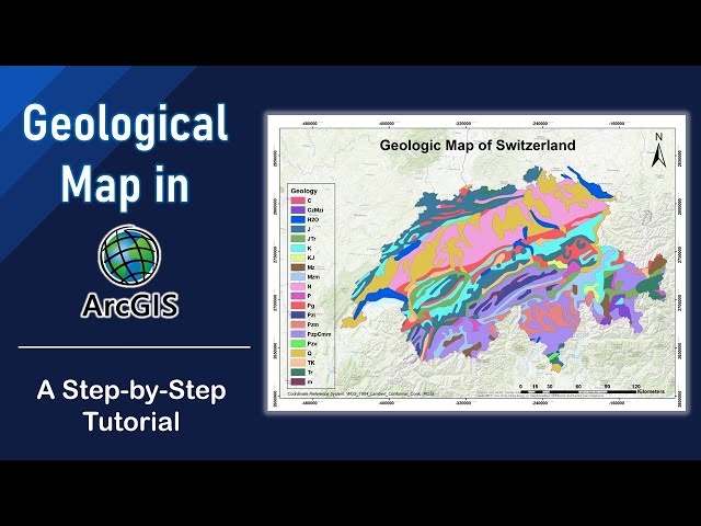
In this tutorial, you will learn how to create your own geological map using geologic data downloaded from USGS (for free), ...
149,513 views
Learn how to assign a coordinate system in ArcGIS for AutoCAD. Follow us on Social Media! Twitter: https://twitter.com/Esri ...
18,200 views
2y ago
See how to make a layout in ArcGIS Pro. You'll also see how to add guides to a layout, add an overview map and extent indicator, ...
274,515 views
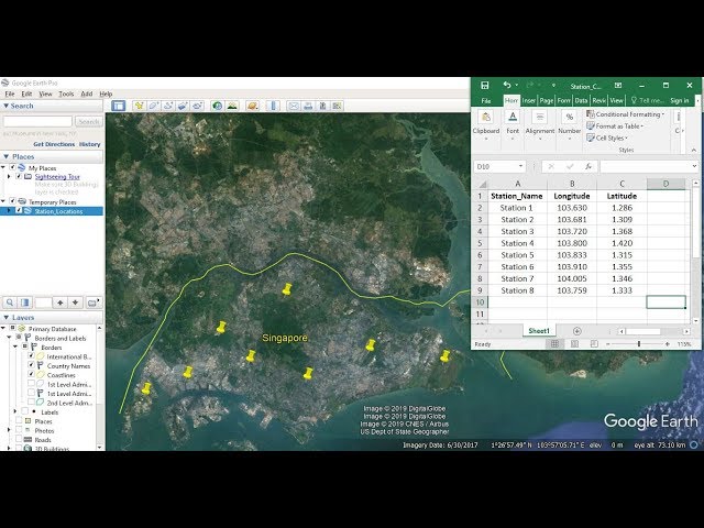
This tutorial shows you how to import Latitude and Longitude coordinate information from excel and plot them in ArcGIS ⭐NOTE: ...
300,628 views
Explore the possibilities of mapping in ArcGIS Online. This video shows you how to get started with creating a map in Map Viewer.
99,788 views