Upload date
All time
Last hour
Today
This week
This month
This year
Type
All
Video
Channel
Playlist
Movie
Duration
Short (< 4 minutes)
Medium (4-20 minutes)
Long (> 20 minutes)
Sort by
Relevance
Rating
View count
Features
HD
Subtitles/CC
Creative Commons
3D
Live
4K
360°
VR180
HDR
49 results
13 views
6 hours ago
0 views
5 hours ago
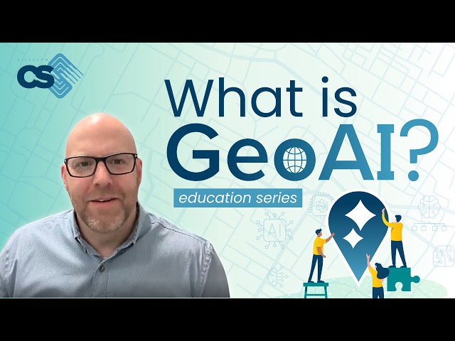
What is GeoAI, really? GeoAI is the evolution of geospatial technology, combining GIS, spatial data, and AI to automate workflows, ...
5 views
18 hours ago
By leveraging advanced geospatial data and risk analysis, the system ensures an in-depth understanding of each property's ...
15 hours ago
... and Discovery's Expedition Bigfoot where geospatial data and advanced sensing are used to explore hidden, controversial, ...
0
... and its massive pivot from a traditional aerospace hardware business into a highly profitable, AI-driven geospatial data platform.
2 hours ago
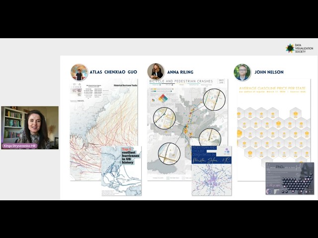
This presentation explores the tension between analytical rigor and visual expression in geospatial design. Kinga will walk you ...
56 views
Esri's Corporate Director of Software Product Development, Sud Menon, leads us on a journey of development of ArcGIS as an ...
62 views
7 hours ago
... which are large AI models pre-trained on diverse geospatial data and adaptable to various tasks across downstream geospatial ...
141 views
Streamed 10 hours ago
Howard Butler, a lead maintainer of GDAL (Geospatial Data Abstraction Library), breaks down why keystone open source projects ...
172 views
8 hours ago
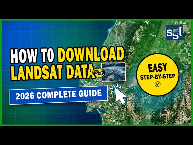
Learn how to download completely FREE Landsat 8 & 9 satellite imagery in 2026 — step by step, no experience needed!
The conference is dedicated to the strategic importance of geospatial data in strengthening national resilience and public safety in ...
210 views
Learn how to perform cloud detection from satellite imagery using a sensor-agnostic Python workflow with OmniCloudMask and ...
247 views
12 hours ago
2026 ESRI Technical Certification Exam Prep: Full Practice Test and Study Guide Securing your ESRI Technical Certification in ...
13 hours ago
... explores innovations in construction technology, surveying, geospatial data, and field workflows while featuring demonstrations, ...
60 views
1 day ago
Join the community for more Python, GEE & GIS tutorials: ...
10 views
16 hours ago
How do you find one specific tree in a city of millions? 🗺️ In Episode 9, we dive into the "brain" of modern urban forestry: ...
14 hours ago
Hosseini, K.; Reindl, L.; Raffl, L.; Wiedemann, W.; Holst, C. 3D Landslide Monitoring in High Spatial Resolution by Feature ...
14 views
10 hours ago
... QGIS Plugins, Click Event, Mapping Techniques, Geospatial Data, QGIS Applications, Custom Maps, QGIS Design, Map Layout, ...
ENVI #ERDASImagine #RemoteSensing #RSInteroperability #GeospatialSoftware #GISWorkflow #RasterDataConversion Learn ...
9 views