Upload date
All time
Last hour
Today
This week
This month
This year
Type
All
Video
Channel
Playlist
Movie
Duration
Short (< 4 minutes)
Medium (4-20 minutes)
Long (> 20 minutes)
Sort by
Relevance
Rating
View count
Features
HD
Subtitles/CC
Creative Commons
3D
Live
4K
360°
VR180
HDR
156 results
If you've built your career in ArcGIS or traditional GIS tools, you already have the hardest skill: spatial thinking. What you might be ...
2,631 views
6 days ago
For viewing by AGI 3D geospatial WG members.
0 views
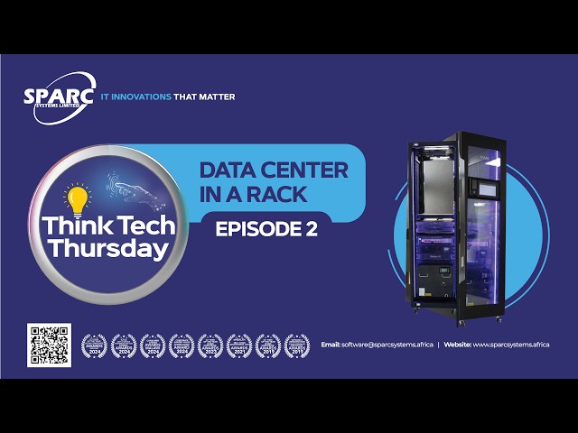
Unlock the Future of Data Centres: SPARC RACK – A Complete Data Center in a Single Rack. In this episode of Think Tech ...
594 views
7 days ago
In this video, we explore the best geospatial image annotation tools in 2026. From high-resolution satellite imagery labeling to ...
36 views
... case generation, followed by frame extraction, AI-based crack detection, GPS synchronization, and geospatial data processing.
13 views
4 days ago
Available on Github: Rintozxr The idea is simple: the relationship you see in spatial data can change when you change the grid ...
10 views
Discrete Global Grid Systems (DGGS) have shifted from theoretical models to operational infrastructure, thanks to recent OGC ...
40 views
Active Digital Twin of the Port Port Corpus Christi is one of the world's most innovative ports and Leslie Ruta and Darrell Keach ...
Register here: https://luma.com/fc570gca Session 2 — Spatial Data Preparation & Enrichment Workflows Spatial analytics does ...
3 views
Streamed 3 hours ago
7 views
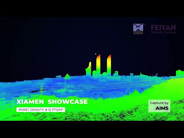
This video presents high-precision 3D point cloud data of Xiamen, acquired by Feiyan Remote Sensing using a manned aircraft ...
5 days ago
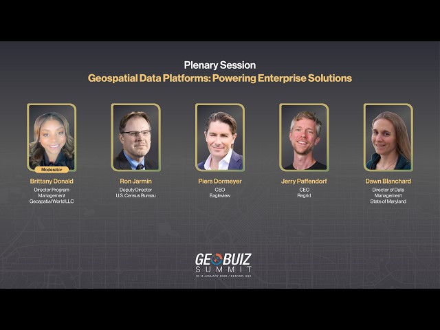
How are geospatial data platforms evolving from simple data storage systems into powerful decision-support infrastructure for ...
55 views
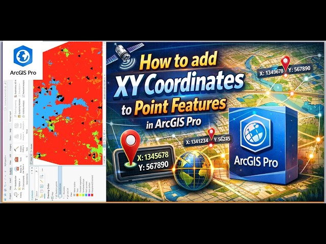
... geographic systems, spatial data infrastructure, GIS best practices, urban planning, rural mapping, data collection, point feature ...
38 views
3 days ago
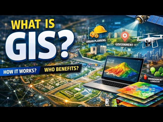
... dashboards, and reports By combining spatial data with analytical tools, GIS helps in smarter planning and decision-making.
00:00 Introduction 04:24 Import Spatial Data 11:21 Hardstand Placement & Geometry 14:51 Path Explorer AI 27:46 Detailed Road ...
67 views
See how a single UAV point cloud survey becomes a cinematic fly-through that sells your project, not just documents it. Created ...
62 views
MODITs™ — Maker of Digital Twins — represents Urban Explorer's vision of a smarter, safer, and more sustainable future through ...
1 view
Before infrastructure is built. Before roads are expanded. Before utilities are installed or upgraded. The environment must first be ...
1 day ago
At 12th Wonder, we help organizations unlock the full value of GIS by turning location data into actionable intelligence.