Upload date
All time
Last hour
Today
This week
This month
This year
Type
All
Video
Channel
Playlist
Movie
Duration
Short (< 4 minutes)
Medium (4-20 minutes)
Long (> 20 minutes)
Sort by
Relevance
Rating
View count
Features
HD
Subtitles/CC
Creative Commons
3D
Live
4K
360°
VR180
HDR
41,502 results
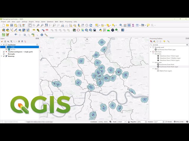
Learn how to create isochrones in QGIS with the ORS plugin. All in just 1 minute! Subscribe ...
14,334 views
2 years ago
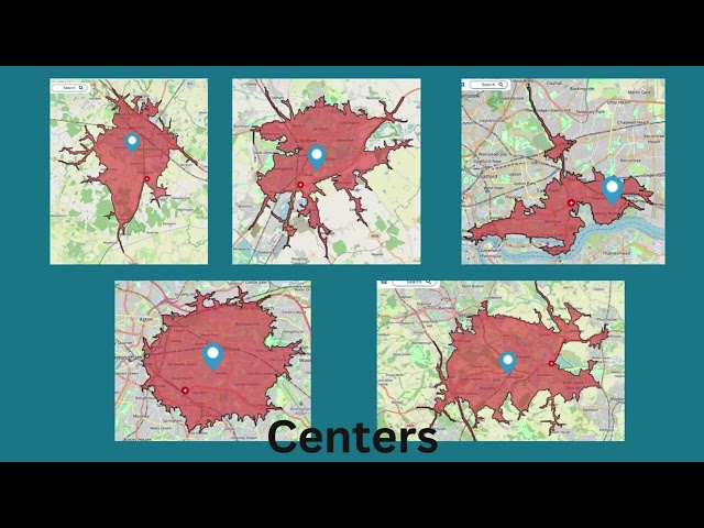
Ever wondered how far your customers, deliveries, or services can reach in just 5, 10, or 15 minutes? Isochrone maps help you ...
185 views
1 year ago
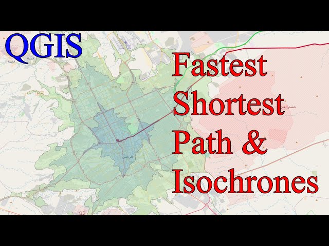
This video shows how to plot fastest shortest routes between A and B and how to create travel time and travel distance based ...
136 views
2 months ago
It's a big name, but the isochronous curve deserves it. Rob shows you how to draw one easily and then how to investigate its ...
11,919,119 views
8 years ago
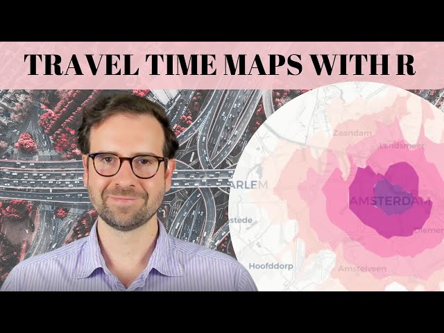
Learn how to create stunning travel time maps with R, a powerful tool for data visualization and geospatial analysis. In this video ...
5,689 views
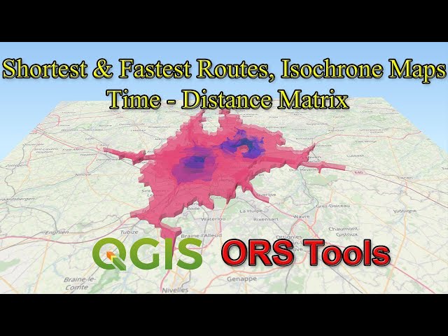
In this tutorial, you will learn how to use three functionalities of the ORS Tools of QGIS. 1. Calculating the shortest & fastest routes ...
49,664 views
5 years ago
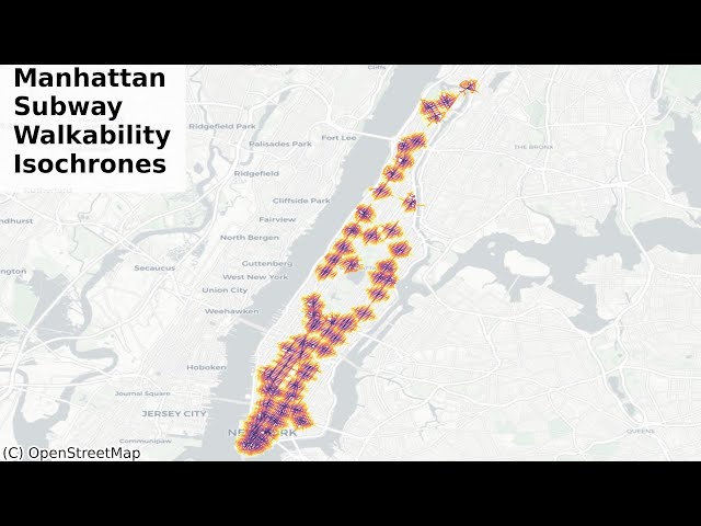
In this video, I am going to show you Pythonic methods to visualize how walkable New York City - Manhattan, is from each subway ...
375 views
3 months ago
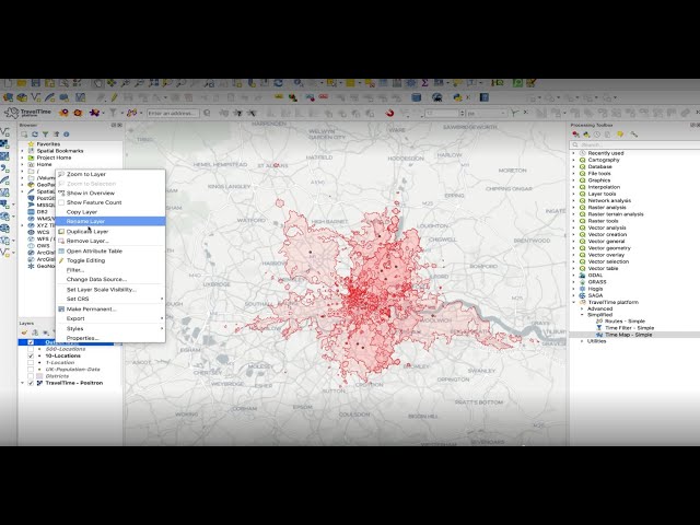
Try the TravelTime QGIS plugin for free: https://bit.ly/3keTPYs With the TravelTime QGIS plugin you can: ✓ Create isochrones ...
12,324 views
3 years ago
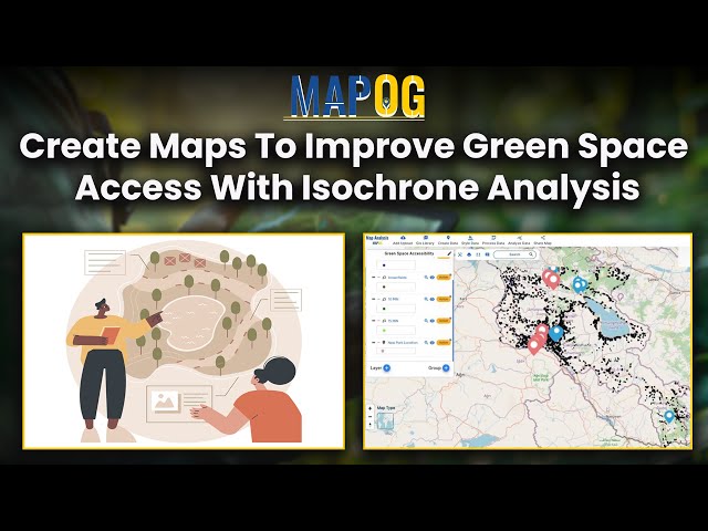
Explore the power of isochrone analysis in enhancing green space accessibility within urban environments. This video provides a ...
361 views
Optimize railway station accessibility with isochrones! Use GIS tools to: Upload vector files for platform data Generate 30- ...
132 views
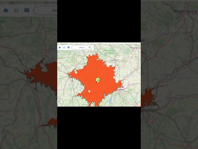
Isochrone maps instantly show how far you can reach in 5, 10, or 15 minutes—helping businesses optimize delivery, marketing ...
120 views
Explore Tool - https://mapanalysis.mapog.com/ In this video, learn how to create a 60-minute isochrone map to optimize supply ...
36 views
Project explores distance isochrones to identify disparities in roadway access to public health Points of Distribution (PODs).
159 views
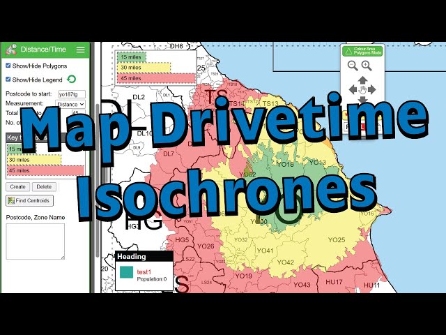
Quickly learn how to generate travel-time polygons (isochrones) on UK maps, showing areas reachable within specific time or ...
201 views
9 months ago
GeoBit Isochrone: Find where you can get to driving, biking, or walking from a point!
28 views
11 months ago
274 views
📲 Download our neowake™ app for free: https://yt.neowake.de/fbUFZ Subscribe to this channel and turn on the notification ...
99,604 views
The Murky Soundsystem revealed her full depth when Isochrone guided us through a carefully curated vinyl dubstep selection.
34 views
2 days ago
Source: Wikipedia.
572 views


![Cycloids [Brachistochrone curve and Tautochrone or Isochrone curve]](/api/proxy/image?url=https%3A%2F%2Fi.ytimg.com%2Fvi%2FOv9AdVyvsTA%2Fsddefault.jpg)